

 Italiano
 Français
 Deutsch
 Español

Frontlap and sidelap are two of the most important settings in drone photogrammetry. Even with an excellent camera, RTK positioning and a small Ground Sampling Distance (GSD), insufficient image overlap can result in poor alignment, holes in the point cloud, unstable camera calibration and inaccurate 3D reconstruction. For aerial surveys processed in Agisoft Metashape, a […]
Tag Archives: Agisoft Metashape
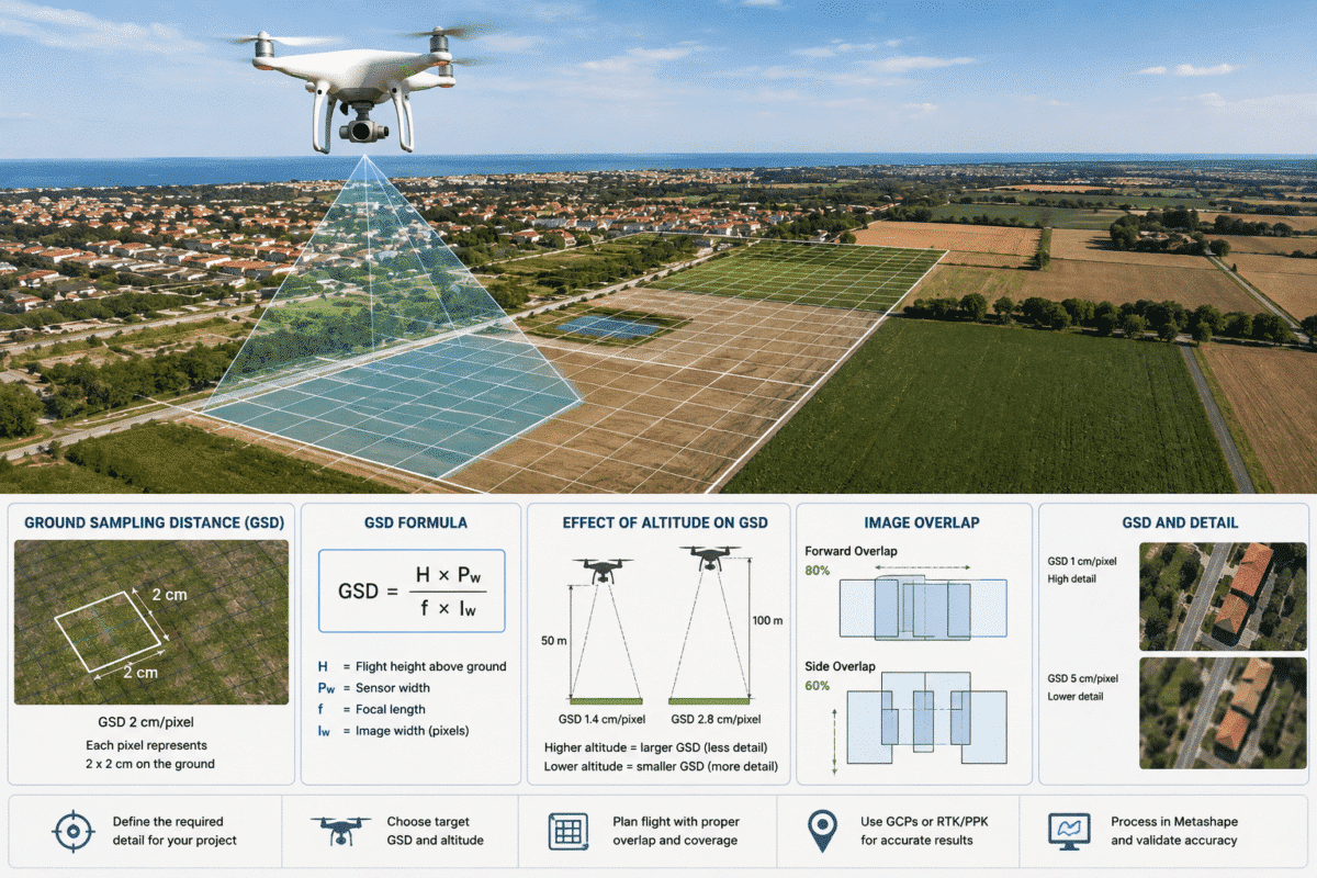
Ground Sampling Distance (GSD) is one of the most important parameters to understand when planning a drone photogrammetry survey for Agisoft Metashape. GSD determines how much real-world ground area is represented by a single pixel in an aerial photograph. It directly influences the level of detail captured by the drone, the resolution of the resulting […]
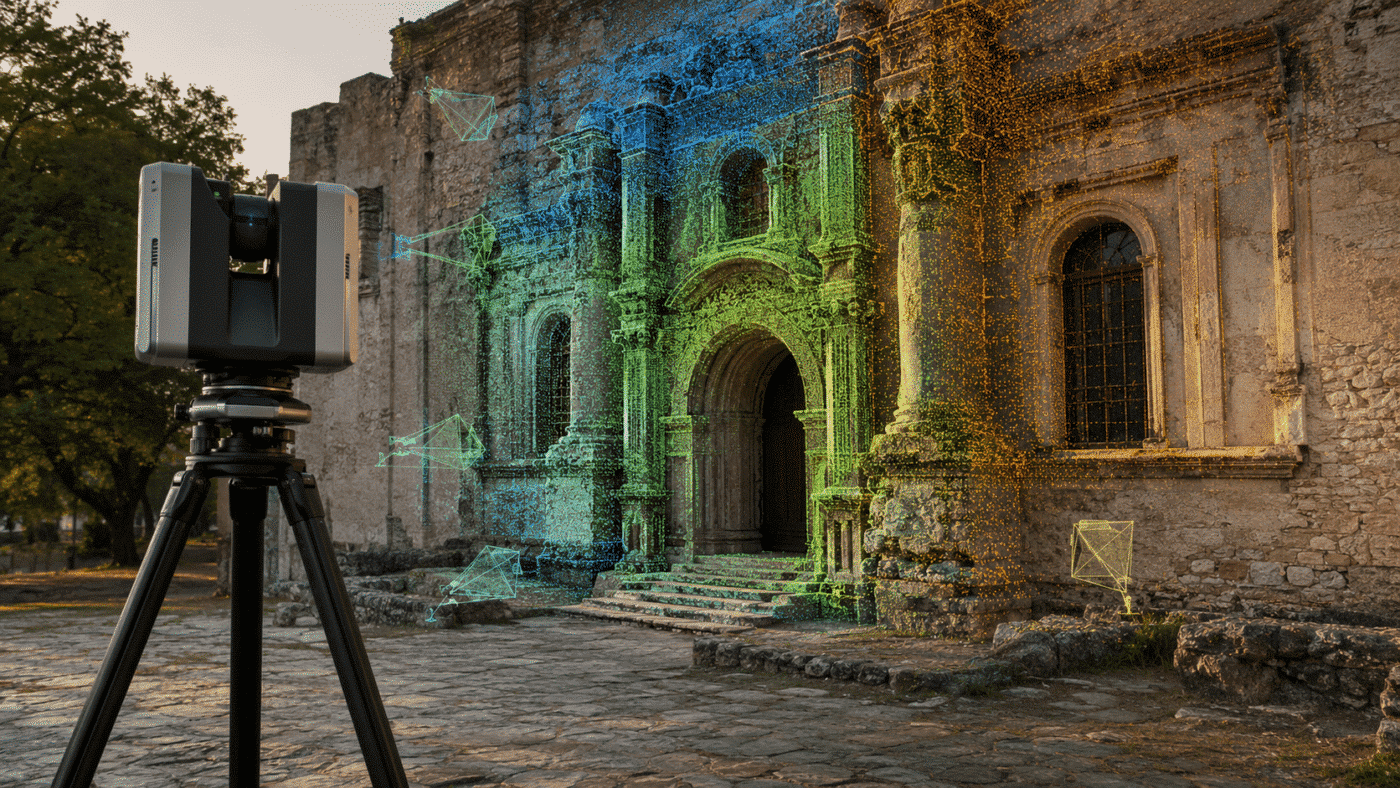
Terrestrial laser scanning and photogrammetry provide different but highly complementary information. A laser scanner can supply a precise, stable 3D framework, while photographs provide the high-resolution color and visual detail needed for textured models, documentation, and orthomosaics. In Agisoft Metashape Professional 2.3.x, these data sources can be brought together in a single project—even when the […]
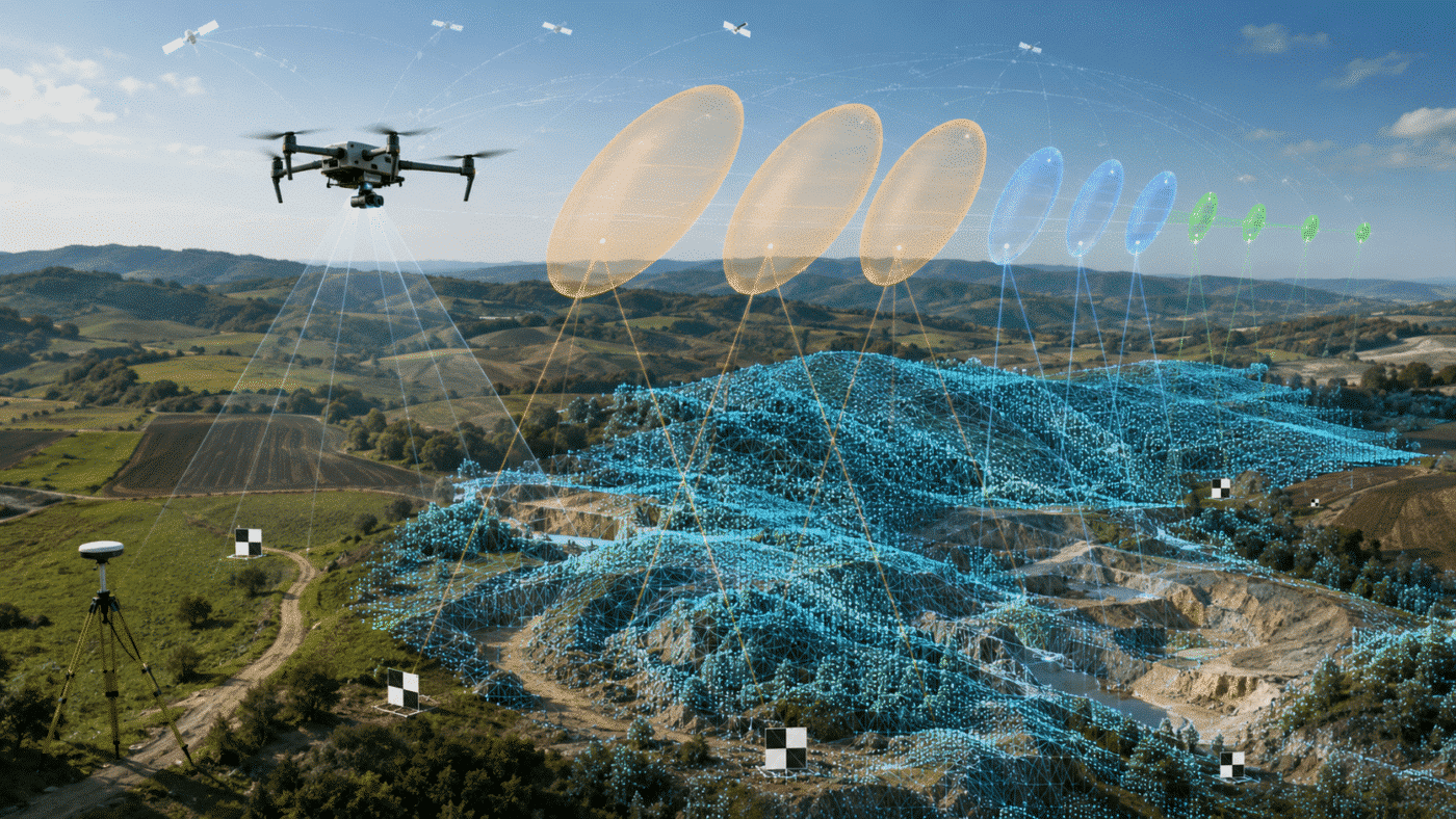
Camera accuracy settings in Agisoft Metashape determine how strongly the software should trust the reference coordinates assigned to each image. They are not a requested output accuracy and they do not magically convert ordinary GPS coordinates into centimetre-level data. They describe the expected uncertainty of the measurements used during bundle adjustment. Choosing values that are […]
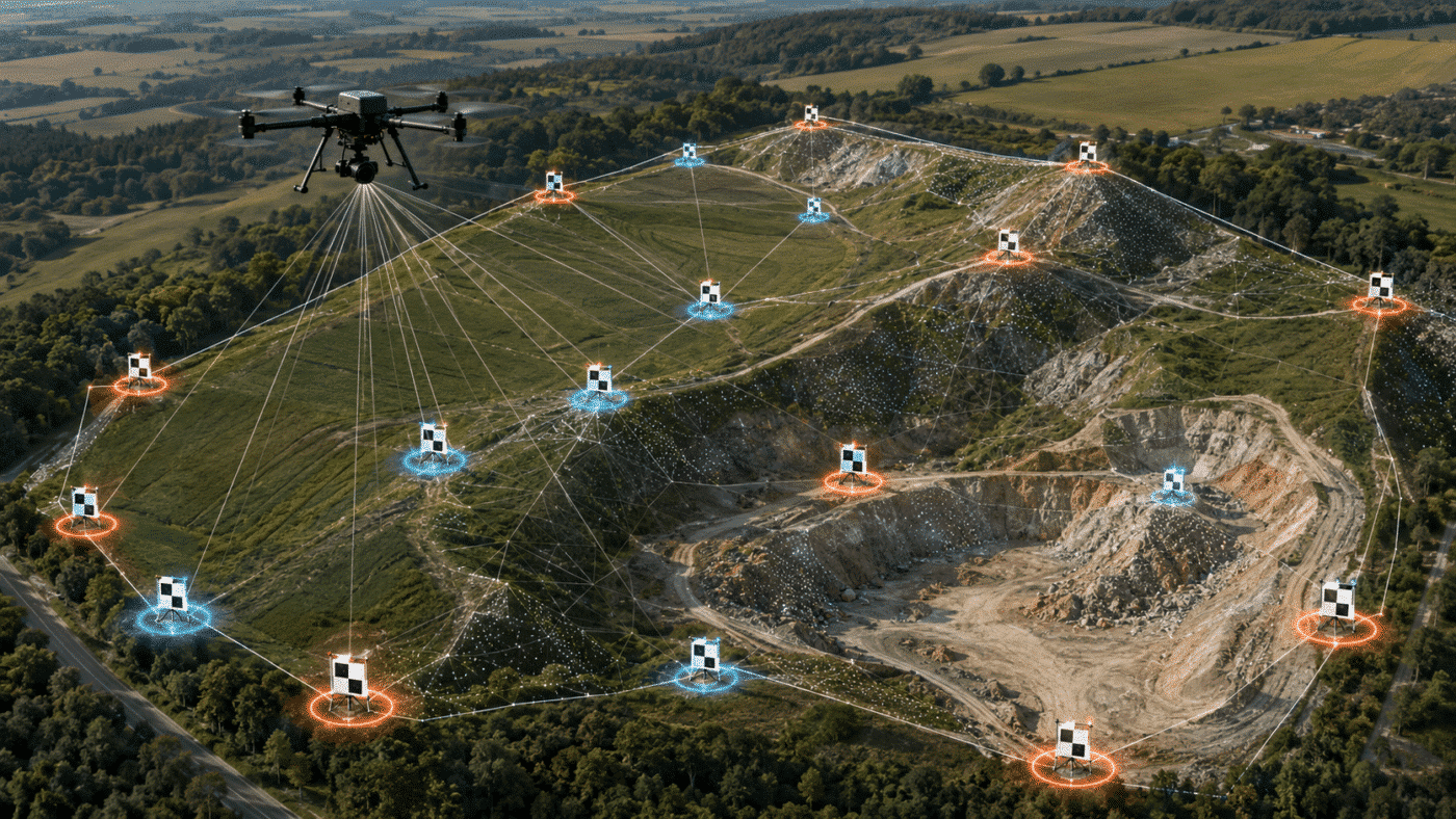
Ground Control Points and check points perform different jobs in Agisoft Metashape. GCPs constrain and georeference the photogrammetric solution, while check points are excluded from optimization and used to test its accuracy. Using every surveyed target as a GCP may produce reassuringly small residuals, but it leaves you without an independent measurement of how accurate […]
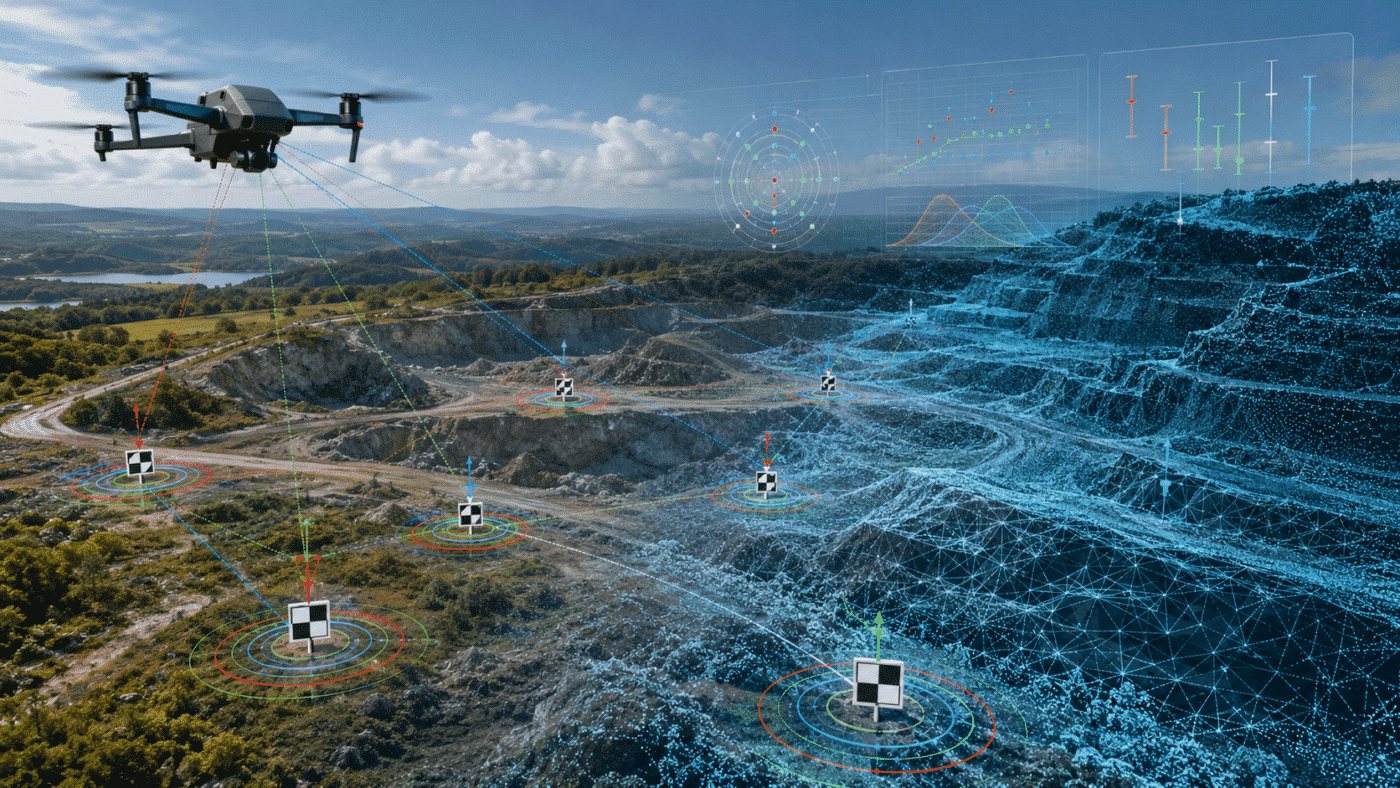
An Agisoft Metashape processing report is not a simple pass-or-fail certificate. It is a technical summary of the survey, camera calibration, alignment, reference data and generated products. To decide whether a project is accurate, you must read several values together: reprojection error, camera location error, Ground Control Point (GCP) residuals, checkpoint error, Ground Sampling Distance […]
Agisoft Metashape 2.3.2 is now available as build 22956, released on August 25, 2026. This maintenance update focuses on faster Natural texturing, workflow improvements for large block models, expanded multispectral calibration support and better interoperability with recent Trimble Inpho projects. Compared with Metashape 2.3.1, the list of changes is concise, but several additions are particularly […]
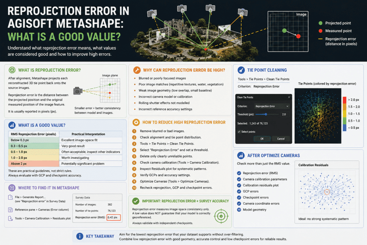
Reprojection error in Agisoft Metashape is one of the most commonly checked quality indicators after photo alignment, but it is also one of the most frequently misunderstood. You may open a Metashape processing report and see a reprojection error of 0.35 pixels, 0.8 pixels or even several pixels. The obvious question is: what is a […]
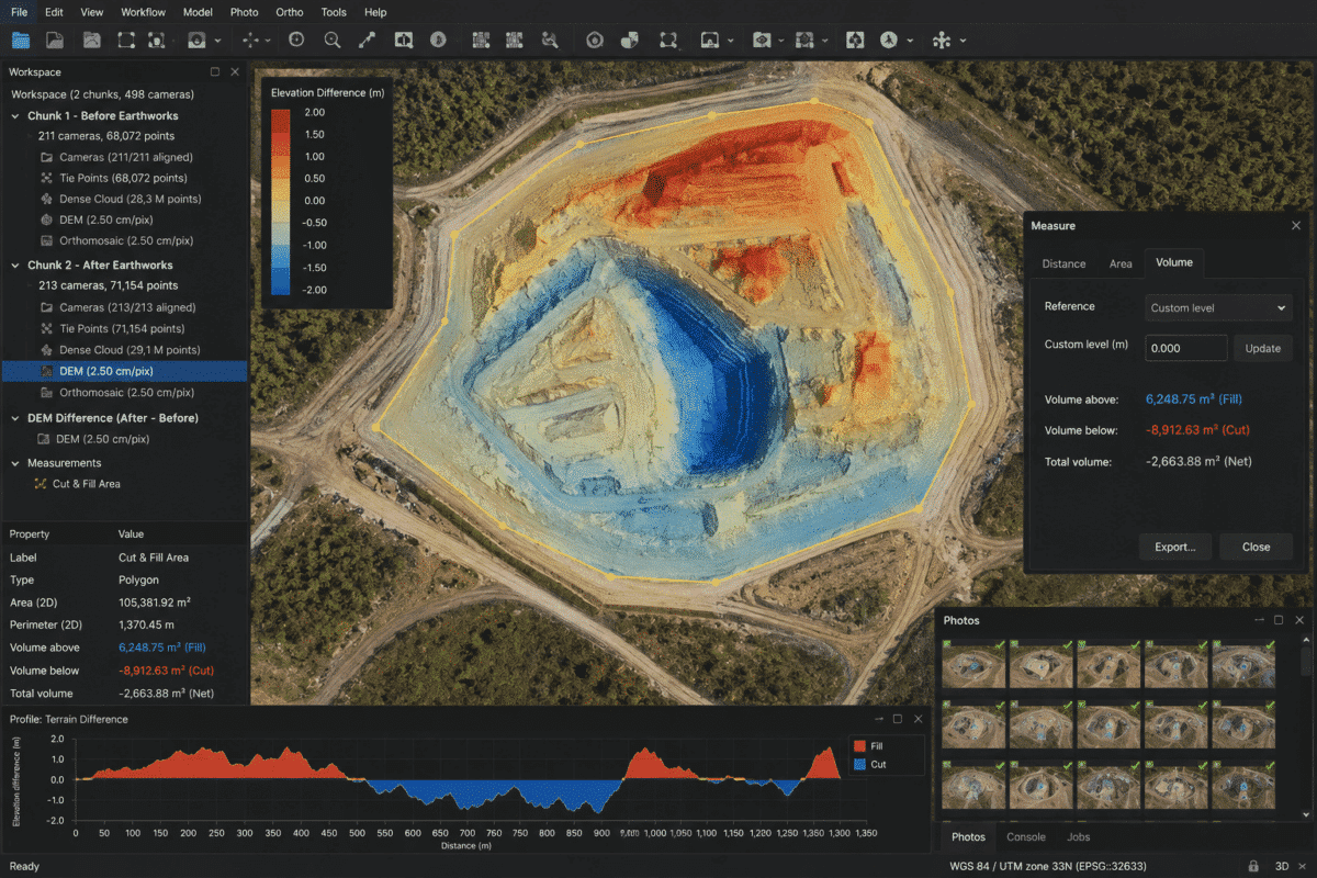
Calculating cut and fill volumes in Agisoft Metashape is a powerful workflow for construction, earthworks, road projects, mining, quarrying and site development. By surveying a site with a drone before and after earthmoving operations, Metashape Professional can generate accurate Digital Elevation Models (DEMs) that allow you to identify where material has been excavated, where material […]
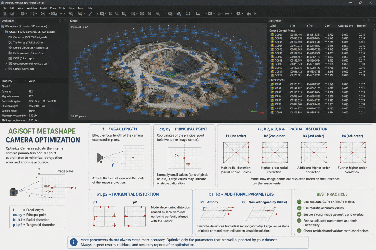
Agisoft Metashape camera optimization is one of the most important steps for improving the accuracy of a photogrammetric project, especially when processing drone surveys with Ground Control Points (GCPs), RTK or PPK camera coordinates. When you open the Optimize Cameras dialog in Metashape, you will see parameters such as f, cx, cy, k1, k2, k3, […]
