

 Italiano
 Français
 Deutsch
 Español
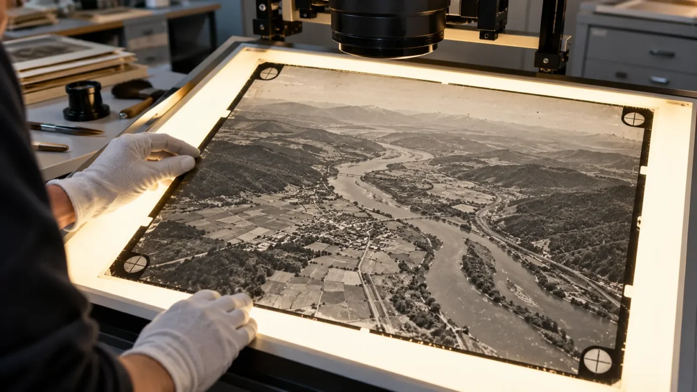
Historic aerial photographs can reveal a landscape before a dam, road or urban expansion. Scanning the film gives you digital images, but a scan is not equivalent to a modern camera image with clean EXIF metadata. Agisoft Metashape Professional can process scanned analog photographs using their fiducial marks to recover the interior image geometry needed […]
Tag Archives: Agisoft Metashape
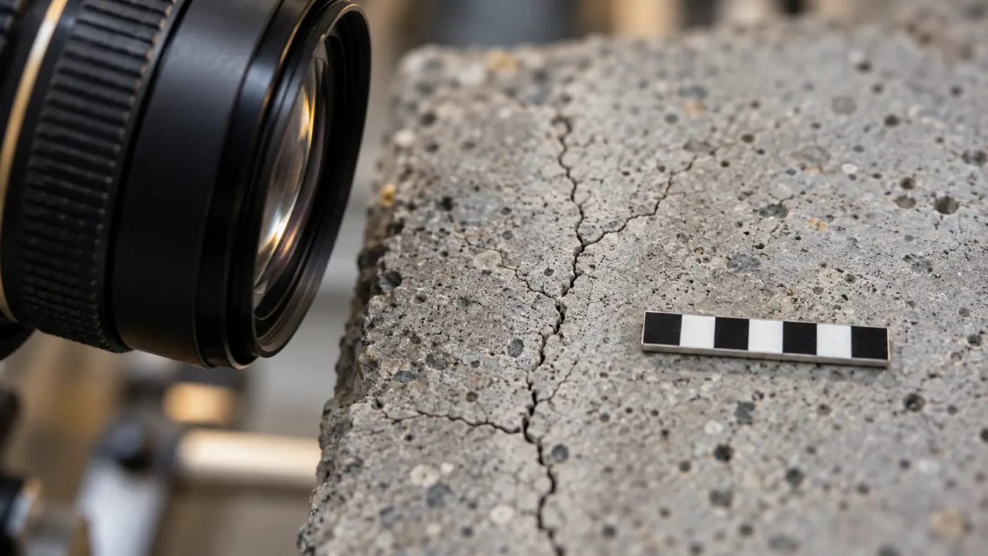
Can Agisoft Metashape measure a crack that is only 10 micrometers wide? The honest answer begins with the source photographs, the optics and a validated measurement procedure. Metashape can locate features in a scaled or referenced image-based model, but a textured 3D reconstruction does not automatically provide a certified minimum or maximum width for a […]
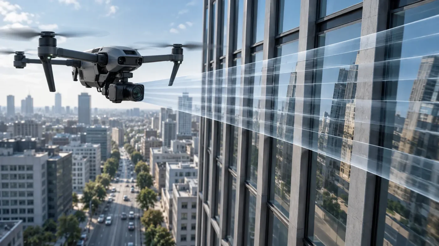
A drone photograph can look sharp while its geometry is subtly distorted. Many electronic shutters read a sensor line by line rather than capturing every pixel at the same instant. If the drone or camera moves during that readout, the upper and lower parts of a frame describe slightly different camera positions. In Agisoft Metashape […]
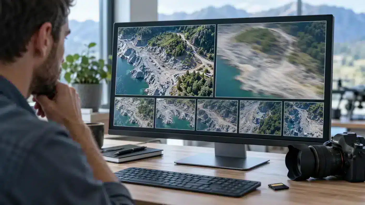
More photographs do not always mean a stronger Agisoft Metashape project. A few blurred frames can weaken image matching, introduce soft areas into a texture and waste processing time. The useful question is not simply whether a photograph has a low score: it is whether that photograph provides coverage that no sharper image can replace. […]
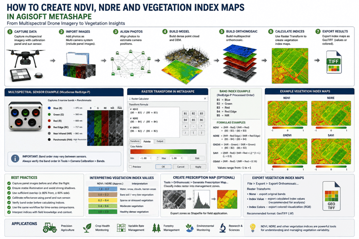
Creating NDVI, NDRE and other vegetation index maps in Agisoft Metashape allows drone operators, agronomists, researchers and environmental professionals to transform multispectral imagery into meaningful information about vegetation variability. When images are captured with a multispectral sensor containing Red, Green, Red Edge and Near Infrared (NIR) bands, Metashape Professional can process the complete photogrammetric dataset, […]
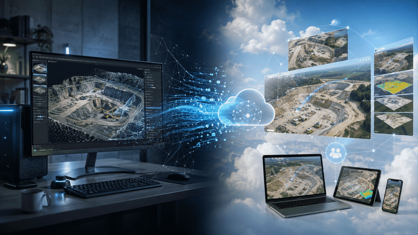
Choosing between Agisoft Metashape and DroneDeploy is not simply a question of which software can create the best drone map. Both platforms can transform aerial imagery into professional geospatial products such as orthomosaics, elevation models, point clouds and 3D models, but they approach the workflow from very different directions. Agisoft Metashape Professional is primarily a […]
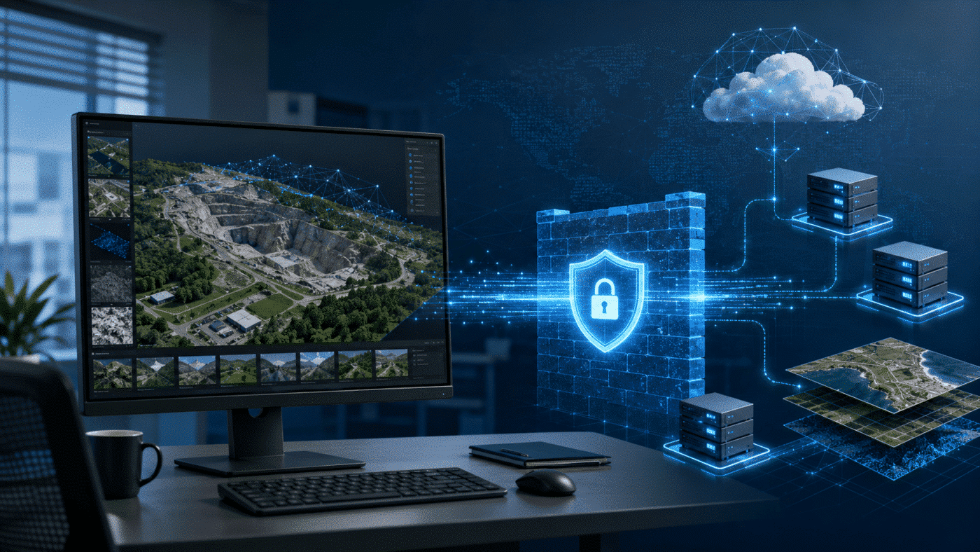
Configuring a corporate firewall for Agisoft Metashape is usually straightforward because normal photogrammetric processing does not require a permanent Internet connection. Metashape performs its core processing operations locally on the workstation. This means tasks such as photo alignment, point cloud generation, mesh reconstruction, DEM creation and orthomosaic processing can be performed without providing the software […]
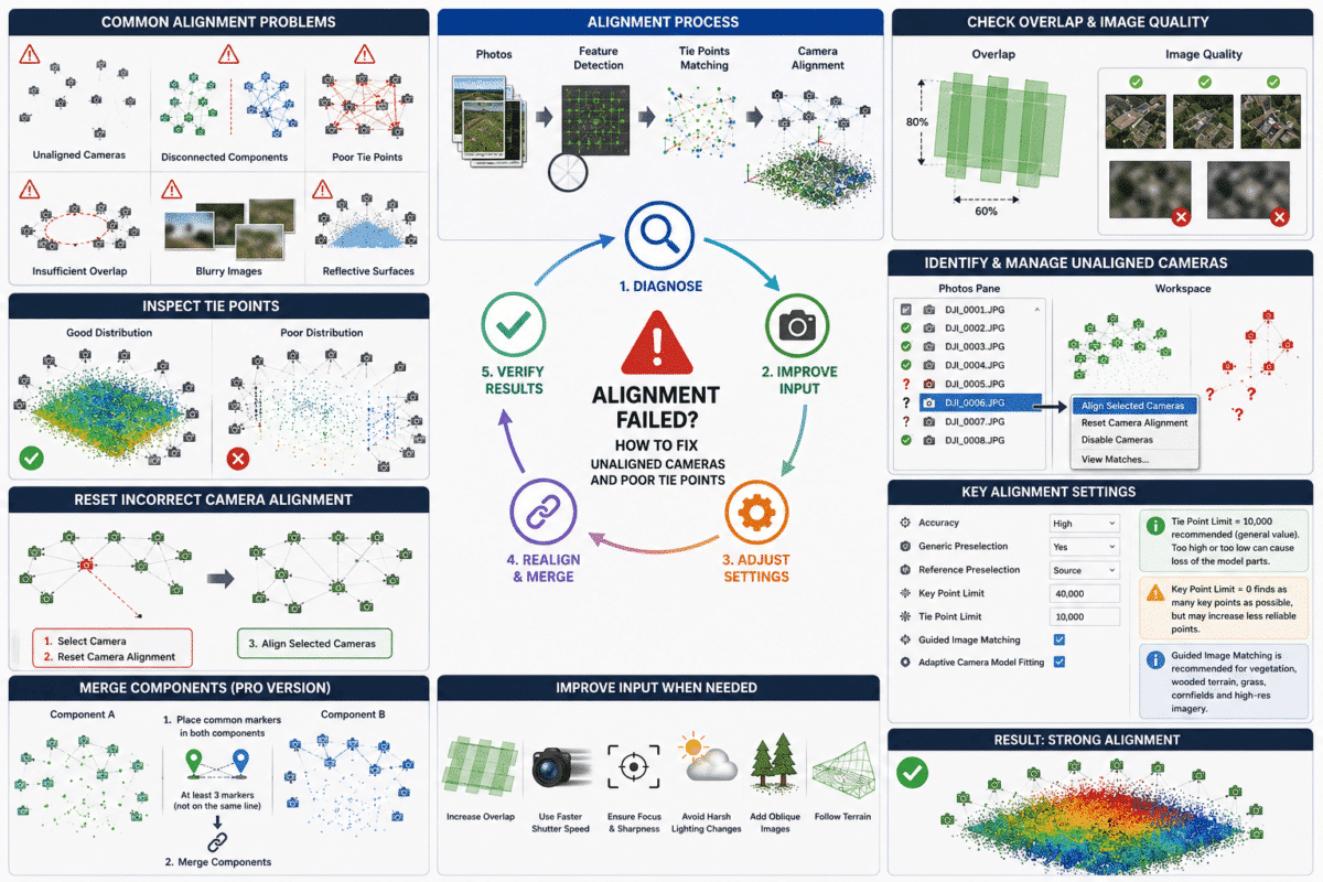
Agisoft Metashape alignment failed? Unaligned cameras, disconnected image groups and weak tie points are among the most common problems encountered when processing drone surveys and close-range photogrammetry projects in Agisoft Metashape. Sometimes only a few photographs fail to align. In other cases, hundreds of images may align into separate components, or the cameras appear in […]
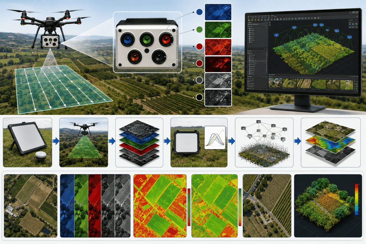
Processing MicaSense RedEdge-P imagery in Agisoft Metashape Professional provides a powerful workflow for precision agriculture, forestry, environmental monitoring, vegetation analysis and scientific remote sensing. Unlike a conventional RGB camera, the RedEdge-P captures multiple narrow spectral bands together with a higher-resolution panchromatic image. When these images are correctly grouped, radiometrically calibrated and processed in Metashape, they […]
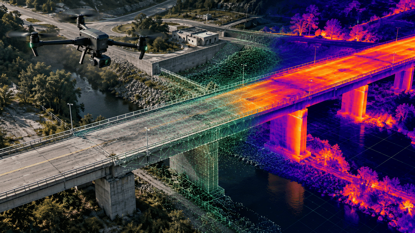
Thermal drone mapping with Agisoft Metashape can transform hundreds or thousands of aerial RGB and infrared images into spatially coherent products: an RGB orthomosaic, a radiometric thermal orthomosaic, a digital surface model, a 3D model and georeferenced layers for inspection or GIS analysis. The difficult part is not simply stitching colorful thermograms. A defensible workflow […]
