

 Italiano
 Français
 Deutsch
 Español
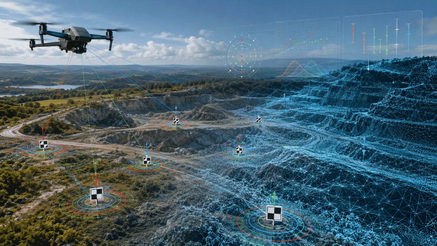
An Agisoft Metashape processing report is not a simple pass-or-fail certificate. It is a technical summary of the survey, camera calibration, alignment, reference data and generated products. To decide whether a project is accurate, you must read several values together: reprojection error, camera location error, Ground Control Point (GCP) residuals, checkpoint error, Ground Sampling Distance (GSD) and the accuracy of the reference measurements.
This guide explains what the main report values mean, how RMSE is calculated, which results provide independent evidence of accuracy and how to diagnose the most common warning patterns. It is written for drone mapping, surveying, construction, archaeology and other professional photogrammetry workflows in Agisoft Metashape Professional.
Contents
How Do You Read a Metashape Processing Report?
Start with the project requirements, not with a universal error threshold. Confirm the coordinate reference system and vertical datum, note the GSD, check image alignment and tie-point reprojection error, review camera reference residuals, and then evaluate the checkpoints. Checkpoints are the most useful accuracy test when they were measured independently, distributed throughout the site and excluded from bundle adjustment.
| Report value | What it measures | What it does not prove |
|---|---|---|
| Reprojection error | Average image-space residual of tie-point observations, normally expressed in pixels | Absolute map or survey accuracy |
| Camera location error | Difference between estimated camera positions and their source GNSS coordinates | Ground-point accuracy or product accuracy |
| GCP error | Residuals at control points used to constrain and optimize the solution | Independent validation accuracy |
| Checkpoint error | Residuals at surveyed points excluded from optimization | Accuracy outside the area and conditions represented by those points |
| GSD | Approximate ground size represented by one image pixel | Guaranteed horizontal or vertical accuracy |
The key principle is simple: an internally consistent model can still be incorrectly positioned, scaled or vertically referenced. A low reprojection error is valuable, but it must be supported by suitable control and independent validation.
What Does RMSE Mean in Agisoft Metashape?
RMSE stands for Root Mean Square Error. It combines a set of residuals into one value while giving more weight to larger errors:
RMSE = √(Σe² / n)
Here, e is an individual residual and n is the number of observations. If the horizontal errors of four checkpoints are 0.01 m, 0.02 m, 0.03 m and 0.06 m, the largest residual influences the RMSE more strongly than it would influence a simple arithmetic mean.
Metashape may report separate components such as X, Y and Z, together with combined horizontal or total error. In a projected coordinate system:
- X and Y describe the two horizontal coordinate components.
- XY combines the horizontal components.
- Z describes the vertical component.
- XYZ or total error combines all three spatial components.
Always confirm the units and coordinate system. Residuals shown in metres cannot be interpreted correctly if one dataset uses ellipsoidal heights and another uses orthometric heights. If the whole project is vertically displaced by a nearly constant amount, read our guide to fixing vertical shifts in RTK drone models and verify whether the project requires a geoid.
The Main Sections of a Metashape Processing Report
The exact layout depends on the Metashape version and the products generated, but a professional report normally includes survey data, camera calibration, camera locations, marker errors, processing parameters and product statistics.
1. Survey Data, Image Coverage and GSD
The opening section summarizes the number of images, camera stations, flying altitude, coverage area, tie points, projections and GSD. Use it to confirm that the report describes the correct chunk and that the basic survey statistics are plausible.
GSD is a resolution indicator, not an accuracy certificate. A project with a 2 cm GSD does not automatically have 2 cm absolute accuracy. Actual accuracy also depends on image sharpness, overlap, camera geometry, calibration stability, GNSS or control quality, terrain, marker placement and processing choices.
2. Tie Points and Reprojection Error
Metashape identifies features in overlapping photographs and estimates their three-dimensional positions. Reprojection error expresses how closely the estimated 3D points project back onto their measured image positions. It is normally reported in pixels.
A relatively low and stable reprojection error suggests good image-space consistency. A high value, or a value that remains high after careful optimization, can indicate blurred images, weak overlap, repetitive textures, moving objects, inaccurate matches, unstable calibration or poor capture geometry. However, aggressively deleting tie points only to force a smaller number can weaken the network. For a more detailed interpretation, see Reprojection Error in Agisoft Metashape: What Is a Good Value?
3. Camera Calibration
The calibration section reports the estimated internal camera parameters, including focal length, principal point and lens-distortion coefficients. These parameters are adjusted during bundle adjustment when the selected camera model allows it.
Look for physically plausible results, consistency between genuine camera groups and strong parameter correlations. Large or unstable changes can be a symptom of insufficient image geometry, mixed focal lengths, rolling-shutter effects, cropped images or an over-parameterized model. Our guides to understanding camera calibration results and choosing camera optimization parameters explain these values in more detail.
4. Camera Location Error
Camera location error compares the camera centres estimated by photogrammetric adjustment with the source coordinates imported from EXIF data, an RTK/PPK file or another reference source. It answers the question: How far did the adjusted camera positions move from their reference positions?
This value should be interpreted against the stated camera accuracy. If RTK-fixed camera positions are expected to be centimetre-level but the report shows decimetre- or metre-level residuals, investigate the reference data before accepting the model. Common causes include:
- incorrect or overly optimistic camera accuracy settings;
- mixed FIX, FLOAT and standalone GNSS solutions;
- wrong coordinate reference system or axis order;
- ellipsoidal versus orthometric height mismatch;
- unapplied antenna, lever-arm or GNSS bias correction;
- incorrect timestamp synchronization;
- weak camera calibration or flight geometry.
Camera residuals are not direct ground-accuracy measurements. The camera positions are observations in the adjustment; they are not independent checkpoints. For RTK-specific import and accuracy settings, follow our DJI RTK coordinate processing workflow.
5. GCP and Checkpoint Errors
Marker tables may include reference coordinates, estimated coordinates, X/Y/Z residuals, total error and image residuals. Image residuals are expressed in pixels and help identify inaccurate marker placement in individual photographs. Coordinate residuals are expressed in the project coordinate units.
A point with a large image residual may have been placed on the wrong pixel, measured on too few images or observed at an oblique angle. A point with small image residuals but a large coordinate residual may instead have an incorrect surveyed coordinate, wrong height datum or mislabeled marker.
6. Processing Parameters and Products
The report records many of the settings used to create the point cloud, DEM, orthomosaic or model. This section is essential for traceability. Check the selected coordinate system, data source, resolution, interpolation mode, filtering settings and export parameters. A geometrically sound alignment can still produce an unsuitable deliverable if the wrong surface, CRS or output resolution was selected.
GCP Error vs Checkpoint Error: Which One Shows Accuracy?
Checkpoint RMSE is generally the stronger indicator of external accuracy, provided that the checkpoints are reliable and independent. GCPs are used to georeference and constrain the model, so their residuals describe how well the adjusted solution fits the control network. Checkpoints are excluded from optimization and test the solution at known locations.
Agisoft’s official guidance distinguishes the two roles: enabled markers act as control points, while disabled markers act as check points. Agisoft also recommends retaining at least three to five points for accuracy assessment. See the official Control and Check Points for Aerial Surveys tutorial.
A good checkpoint design is as important as the final RMSE:
- Distribute checkpoints across the full site, including edges and changes in elevation.
- Do not cluster all checkpoints near the centre of the block.
- Use clearly identifiable, stable targets.
- Measure checkpoints with a method accurate enough for the project tolerance.
- Keep checkpoint coordinates out of camera optimization.
- Report the number of checkpoints, RMSE and largest residual, not only the combined average.
To set up and mark control correctly, use our step-by-step GCP guide for Agisoft Metashape. Agisoft’s official aerial processing workflow with GCPs also explains how reference-coordinate and reprojection errors are minimized during camera optimization.
What Is a Good RMSE in Metashape?
There is no single RMSE value that is good for every Metashape project. A 5 cm checkpoint error may be excellent for a large-area environmental survey and unacceptable for a high-precision engineering inspection. Judge the result against:
- the accuracy specification agreed for the deliverable;
- the accuracy and independence of the checkpoint survey;
- the project GSD and capture geometry;
- the number and spatial distribution of checkpoints;
- horizontal and vertical results evaluated separately;
- the correct coordinate system and vertical datum.
It is often useful to express checkpoint error relative to GSD. For example, a 0.03 m horizontal checkpoint RMSE in a project with 0.02 m GSD equals 1.5 GSD. This ratio makes projects easier to compare, but it is still not a universal acceptance rule.
Common Metashape Report Error Patterns
| Observed pattern | Likely interpretation | What to check next |
|---|---|---|
| Low reprojection error, high checkpoint error | The image network is internally consistent but poorly scaled, referenced or controlled | CRS, datum, GCP distribution, control accuracy and systematic deformation |
| Low GCP error, high checkpoint error | The solution fits the control but does not generalize well across the block | Overfitting, weak geometry, clustered GCPs, checkpoint quality and calibration |
| High reprojection and marker image errors | Image measurements or alignment may be unreliable | Blur, overlap, marker placement, false matches and camera groups |
| Good XY, poor Z | Vertical control, flight geometry or height datum may be weak | Geoid, ellipsoidal heights, oblique imagery, cross-flight lines and control elevations |
| Nearly constant vertical offset | A datum or geoid mismatch is more likely than random photogrammetric noise | Source and output height systems, geoid grid and GNSS metadata |
| A few very large checkpoint residuals | Possible blunder, mislabeled point or local reconstruction problem | Original survey notes, target visibility and image projections; never remove a point without a documented reason |
A Practical Workflow for Validating a Metashape Project
- Define the tolerance before processing. Separate horizontal, vertical and relative-accuracy requirements.
- Verify reference systems. Confirm the camera, marker, chunk and export CRS, including the vertical datum and geoid.
- Inspect source quality. Identify blurred images, insufficient overlap, moving subjects and inconsistent camera settings.
- Review alignment. Check unaligned cameras, coverage, tie-point distribution and reprojection error.
- Validate camera groups and calibration. Do not combine images from genuinely different lenses, focal lengths or processing histories in one calibration group.
- Set realistic reference accuracies. Use values supported by the GNSS or survey method, rather than unrealistically small defaults.
- Check every marker projection. Correct inaccurate image placement before optimization.
- Optimize deliberately. Choose calibration parameters appropriate to the dataset and record each major adjustment.
- Evaluate independent checkpoints. Compare XY and Z RMSE, the maximum residual and spatial error patterns against the specification.
- Generate and archive the report. Keep it with field notes, control coordinates, processing settings and exported deliverables.
Agisoft notes that camera optimization usually improves alignment and reduces errors in aerial workflows. The official aerial processing workflow without GCPs also explains when additional camera-model corrections may help RTK/PPK projects. Treat optimization as a controlled adjustment, not as a button that automatically guarantees accuracy.
For a wider inspection of alignment, control, dense reconstruction and deliverables, use our complete checklist for quality checks on photogrammetry projects in Metashape.
Frequently Asked Questions
Does a low reprojection error mean my model is accurate?
No. It indicates good image-space consistency, but the model can still have scale, datum, control or systematic-deformation errors. Use independent checkpoints to test external accuracy.
Are GCP residuals the same as checkpoint accuracy?
No. GCPs constrain the adjustment, whereas checkpoints are excluded from it. Low GCP residuals show that the model fits its control; checkpoint residuals provide a more independent validation.
Why is vertical RMSE often worse than horizontal RMSE?
Vertical accuracy is more sensitive to flight geometry, terrain, control distribution and datum inconsistencies. A nadir-only block can also be weaker vertically than horizontally. Cross-flight lines, suitable oblique imagery and well-distributed elevation control may strengthen the solution.
How many checkpoints should I use in Metashape?
Agisoft recommends at least three to five points for accuracy assessment. More may be required for large, complex or high-risk projects. Distribution and survey quality matter as much as the number.
Should I delete a checkpoint with a large error?
Not simply because it increases the RMSE. First investigate the field coordinate, point identity, image projections, target stability and local reconstruction. Exclude it only when you can document a genuine blunder or an agreed reason.
Final Interpretation
The most defensible Metashape accuracy statement combines several pieces of evidence. Report the GSD, image and marker reprojection behaviour, camera reference residuals, GCP configuration, independent checkpoint RMSE, maximum residual, coordinate reference system and vertical datum. Then compare the results with the project specification.
Do not judge a project from one attractive number. A trustworthy processing report shows that the image network is stable, the reference data is correctly configured and independent checkpoints confirm that the deliverable meets its intended accuracy.
If you are starting a professional photogrammetry workflow, explore Agisoft Metashape Professional Edition or visit the downloads page to compare the available options.
