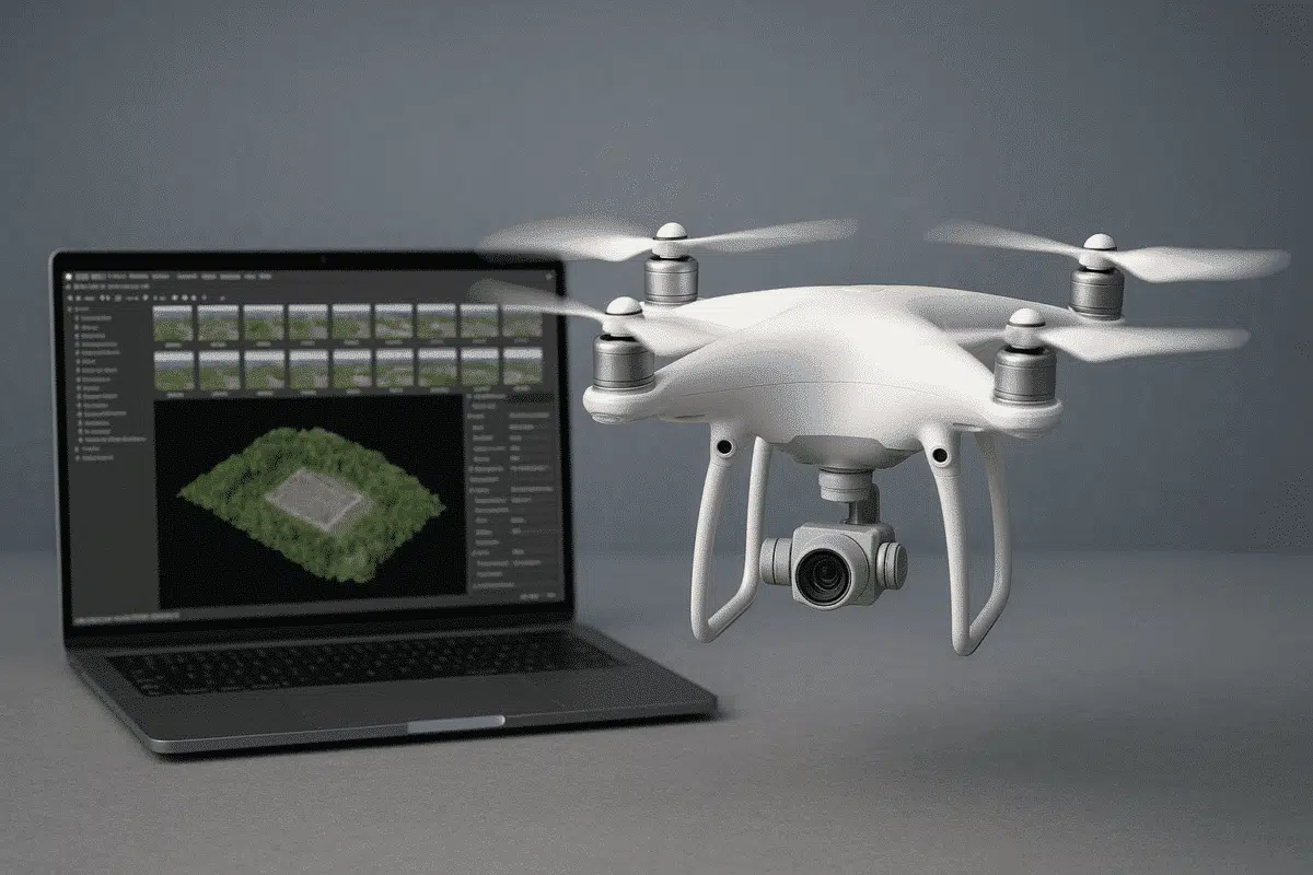
Combining DJI drones with Agisoft Metashape is one of the most efficient ways to perform accurate photogrammetry for 3D mapping, surveying, and inspections. Whether you’re capturing construction sites, cultural heritage, or agricultural fields, this guide provides a detailed overview of how to set up your DJI drone, plan your flight, and process the data effectively […]
Author Archives: admin
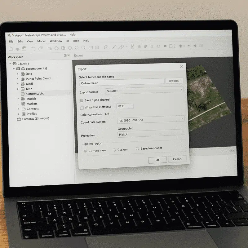
Agisoft Metashape is one of the leading photogrammetry software solutions used worldwide in fields such as surveying, archaeology, mining, cultural heritage, and visual effects. One of the key reasons for its popularity is its compatibility with a broad range of file formats, allowing users to seamlessly import and export data across different platforms and workflows. […]
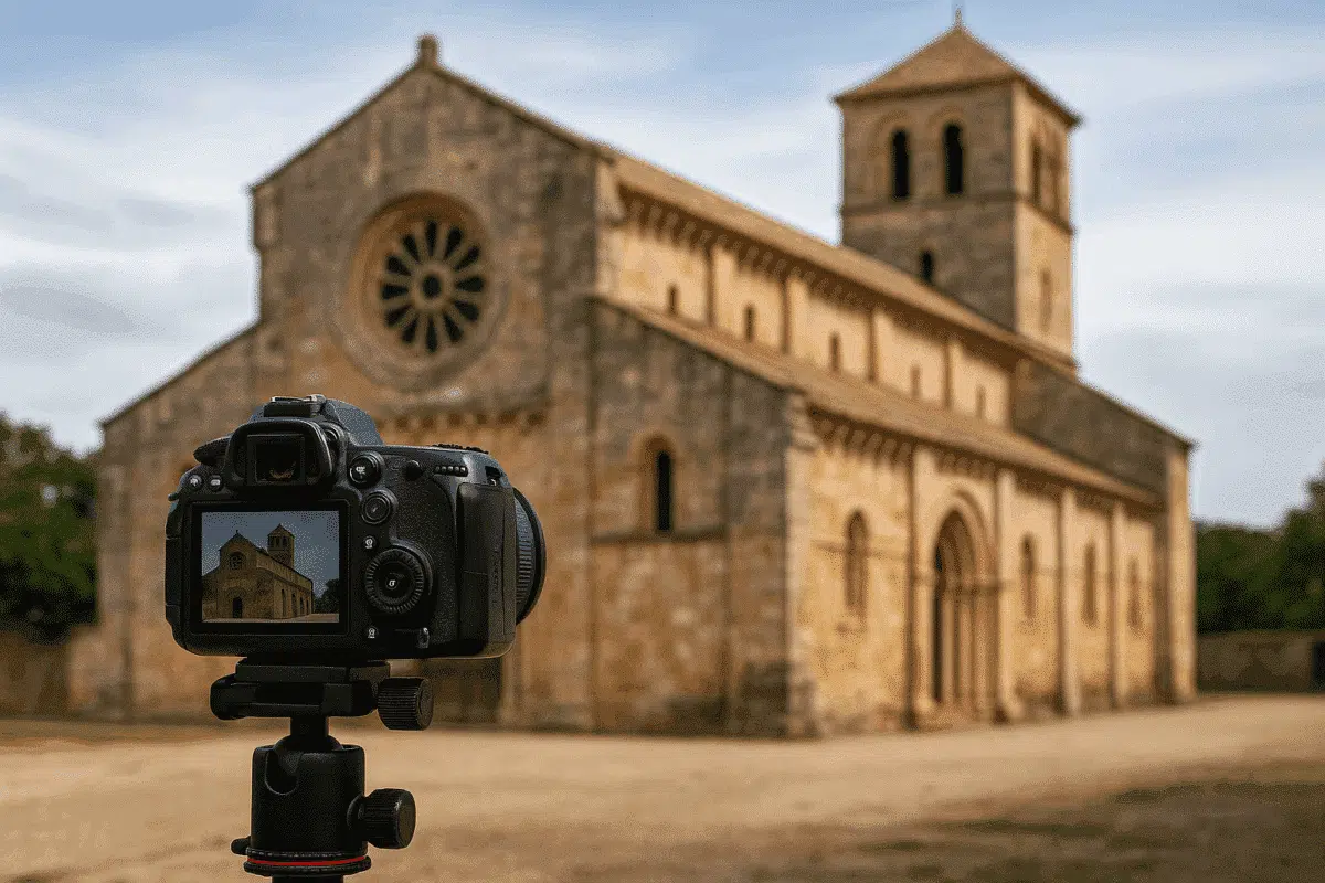
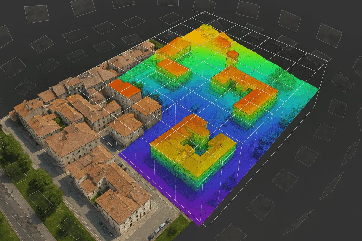
Agisoft Metashape is a powerful photogrammetry tool that has become essential for the preservation and documentation of historical buildings. Whether you are working in archaeology, architecture, or cultural heritage, Metashape offers a complete pipeline to turn site photography into high-quality, measurable 3D models and visual records. This guide walks you through the full workflow—from field […]
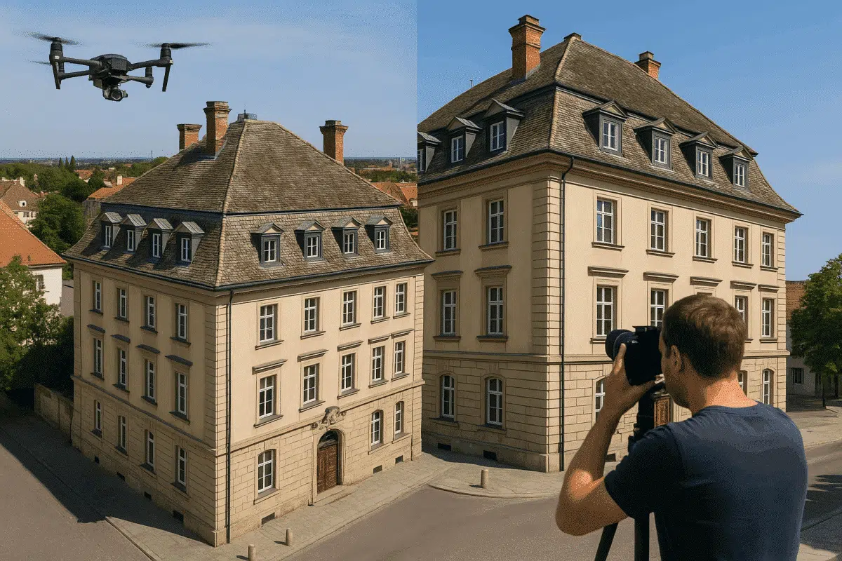
Creating high-quality 3D models of buildings using Agisoft Metashape depends heavily on your data collection method. Whether you’re modeling for architecture, cultural heritage, construction, or real estate, the way you capture your images determines the accuracy, detail, and usability of your final model. In this guide, we’ll explore the best collection methods for building reconstruction, […]
Volumetric filmmaking is reshaping the film and game industry by blending real-world scenes with virtual production. Agisoft Metashape, known for its precision in photogrammetry, is increasingly used to scan environments, props, and actors in 3D. When combined with real-time engines like Unreal or Unity, Metashape enables creators to build immersive sets, digital doubles, and fully […]
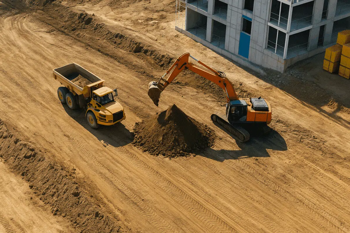
In modern construction projects, real-time site updates and precise volume measurements are key for efficient decision-making. Agisoft Metashape offers a powerful photogrammetry solution to transform drone images into 3D models, orthophotos, and digital terrain models (DTMs). These outputs are crucial for construction monitoring, cut-fill analysis, and progress documentation. Why Use Metashape for Construction Sites? Construction […]

Museums around the globe are embracing digital technologies to preserve artifacts, engage visitors, and broaden access to cultural heritage. Agisoft Metashape has emerged as a leading photogrammetry solution, enabling institutions to generate high‑resolution 3D models of objects, artworks, and entire exhibition spaces. These models form the backbone of digital archives and virtual exhibits, ensuring that […]
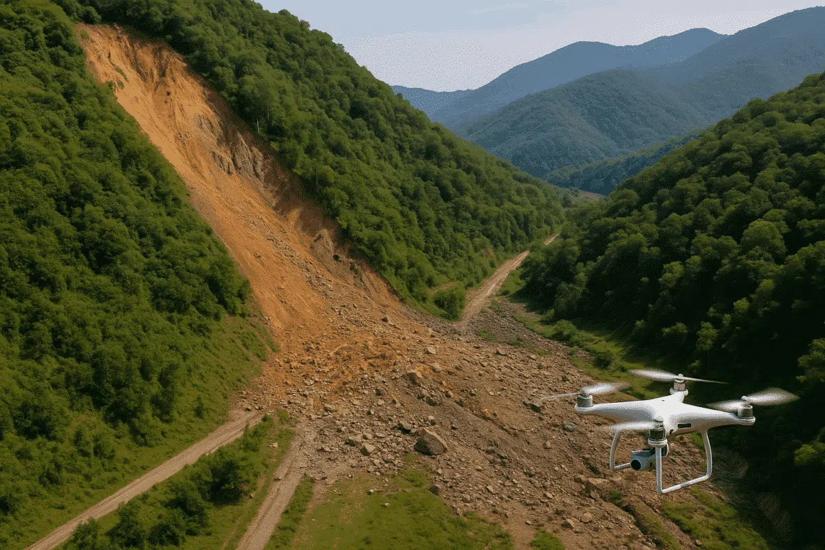
In the face of increasing climate risks, landslides and terrain collapses are becoming more frequent and dangerous. Rapid mapping and accurate terrain analysis are critical for effective response. Agisoft Metashape provides a powerful solution for landslide mapping, disaster assessment, and post-event documentation using drone or aerial imagery. Why Use Photogrammetry for Landslide Mapping? Photogrammetry enables […]
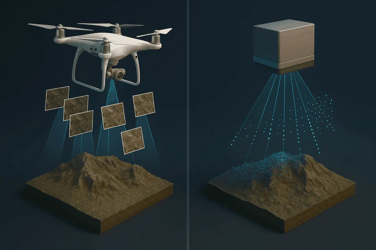
Photogrammetry and LiDAR are two leading technologies for 3D mapping, modeling, and spatial analysis. While both have their strengths, they are suited for different applications. In this article, we compare photogrammetry with laser scanning and explain when using Agisoft Metashape is the better choice. What Is Photogrammetry? Photogrammetry is the science of extracting 3D information […]
While nadir images are commonly used in photogrammetry, oblique images—taken at an angle—offer valuable context for 3D modeling and orthophoto generation. With Agisoft Metashape, it’s entirely possible to generate orthophotos from oblique images, though the workflow requires some special attention to settings, alignment, and camera calibration. This guide walks you through the full process. What […]