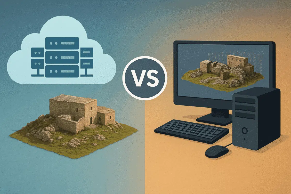
Agisoft Metashape is widely used for photogrammetry, 3D modeling, and drone mapping. But as datasets grow larger and processing times stretch into hours—or even days—many users ask: should I upgrade my local workstation or move to cloud processing? This article compares the two approaches across speed, performance, cost, and scalability to help you choose the […]
Author Archives: admin
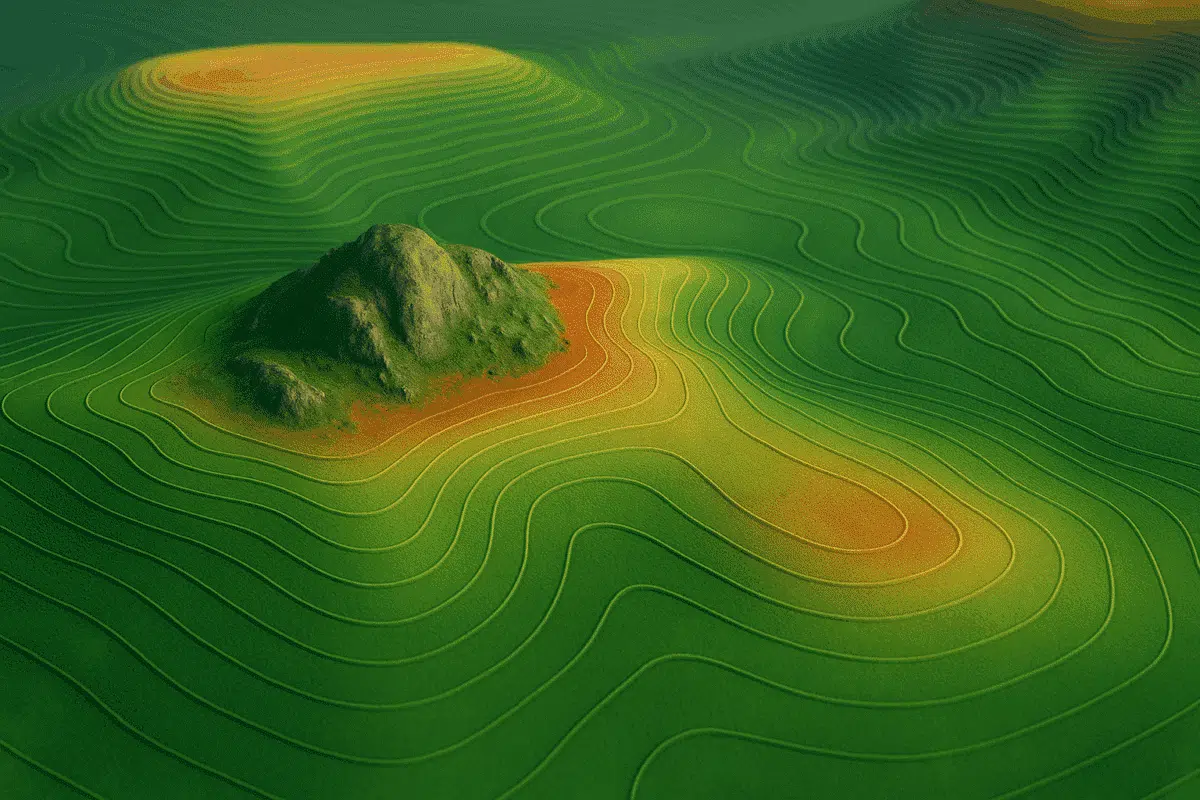
Agisoft Metashape offers a complete set of tools to generate Digital Elevation Models (DEMs) and extract contour lines from drone imagery or terrestrial photogrammetry. These outputs are essential for topographic mapping, land surveys, construction planning, and environmental monitoring. In this tutorial, we’ll walk through the full workflow to create custom DEMs and contours in Metashape, […]
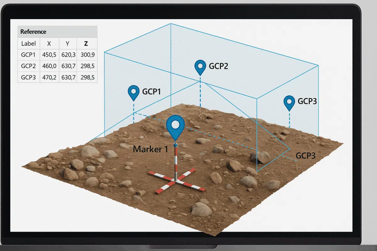
Working without GPS data doesn’t mean your 3D reconstruction has to be inaccurate. With Agisoft Metashape, you can manually georeference a model by using known distances, scale bars, and Ground Control Points (GCPs). Whether you’re digitizing historical photos, indoor scans, or archival data, this guide will walk you through the step-by-step process to create spatially […]
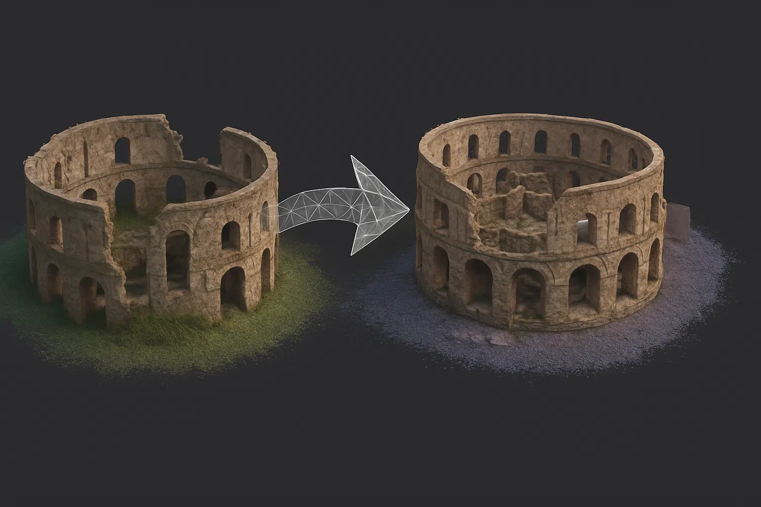
In complex photogrammetry projects, splitting a project into multiple chunks in Agisoft Metashape is often necessary—for example, when working with large datasets, separate flight missions, or different parts of a building. But to produce a seamless final model, you’ll need to correctly align and merge those chunks. This guide explains how to combine multiple chunks […]
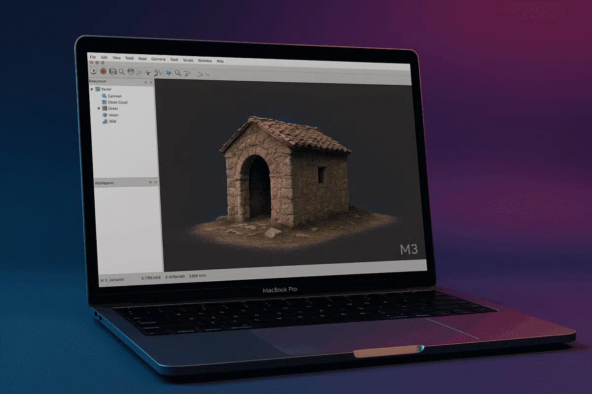
With Apple’s transition to ARM-based silicon well underway, users of Agisoft Metashape are increasingly asking whether the software runs efficiently on the new Mac M3 chips in 2025. This article explores performance benchmarks, compatibility insights, and workflow optimization tips for running Metashape on MacBook Air/Pro and Mac Studio models using M3, M3 Pro, and M3 […]
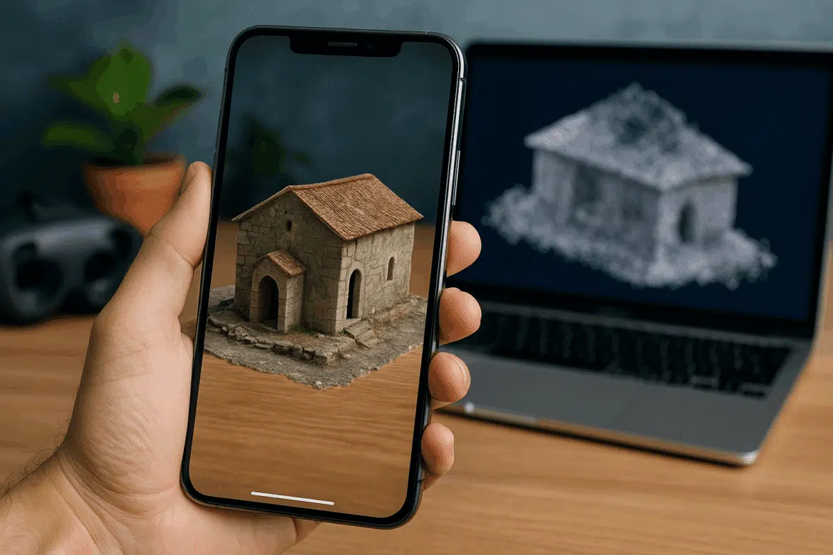
Sharing 3D models online has never been easier thanks to modern formats like GLB, USDZ, and Cesium. Whether you want to publish models for WebAR (Web-based Augmented Reality), mobile viewing, or immersive web maps, Agisoft Metashape offers the tools to export in formats compatible with popular platforms. This guide walks you through how to prepare […]
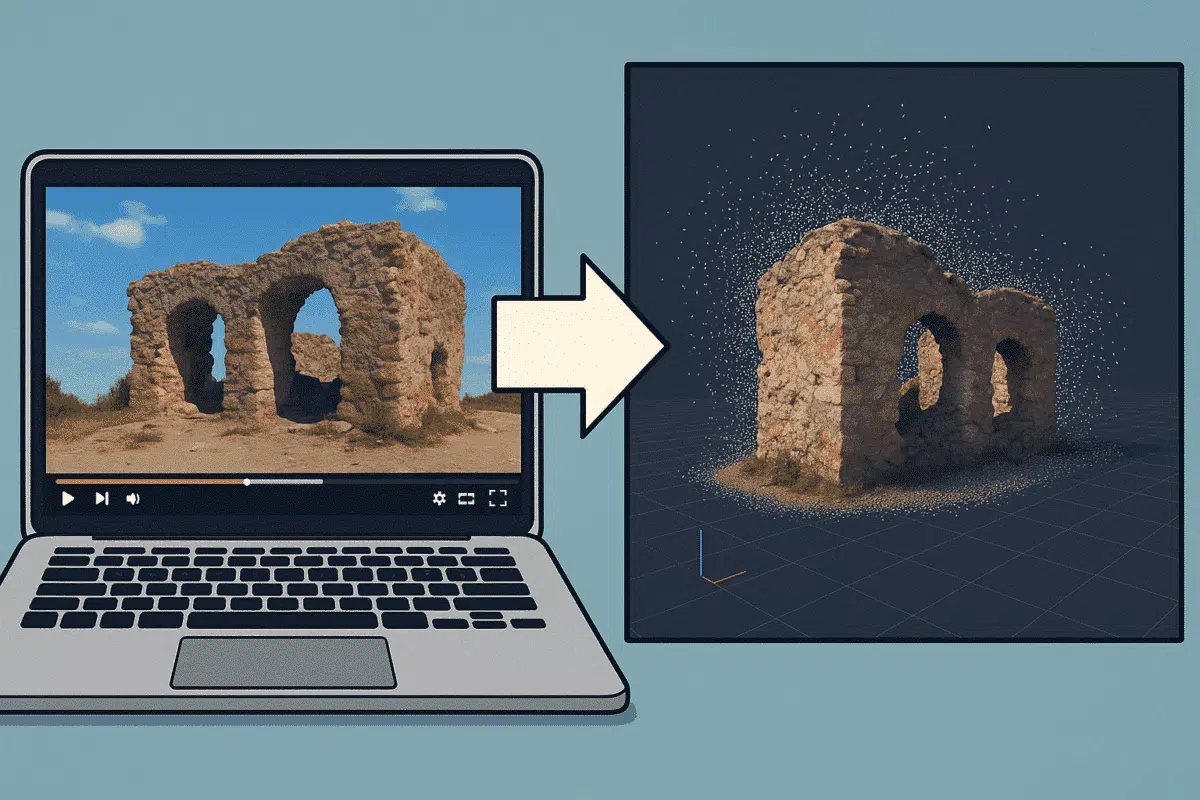
Did you know that you can use video footage to create 3D models in Agisoft Metashape? Even without a DSLR or drone, videos from smartphones or action cameras can be used for photogrammetry by extracting still frames. This guide shows you how to convert a video into a photogrammetric dataset and reconstruct a 3D scene […]

Agisoft Metashape is a powerful photogrammetry tool—but even the most experienced users sometimes run into issues. From alignment failures to texture errors, knowing how to troubleshoot common problems can save you hours of frustration. In this guide, we cover the top 10 errors in Metashape and how to fix them step by step. 1. Photo […]
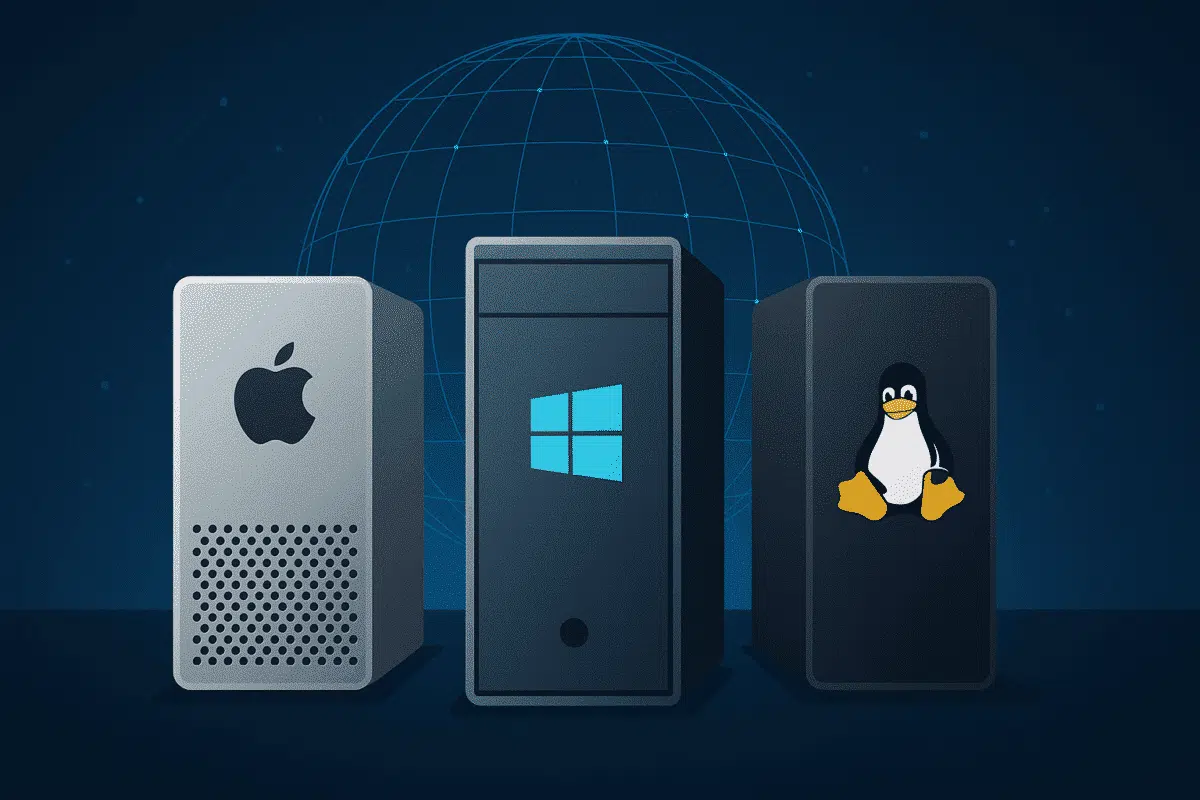
Agisoft Metashape is a professional-grade photogrammetry software used for 3D modeling, mapping, and reconstruction. But which operating system—Mac, Windows, or Linux—offers the best performance in 2025? Whether you’re processing drone imagery or building high-resolution 3D models, the OS you choose can significantly affect your workflow speed, compatibility, and stability. Let’s compare the three major platforms. […]
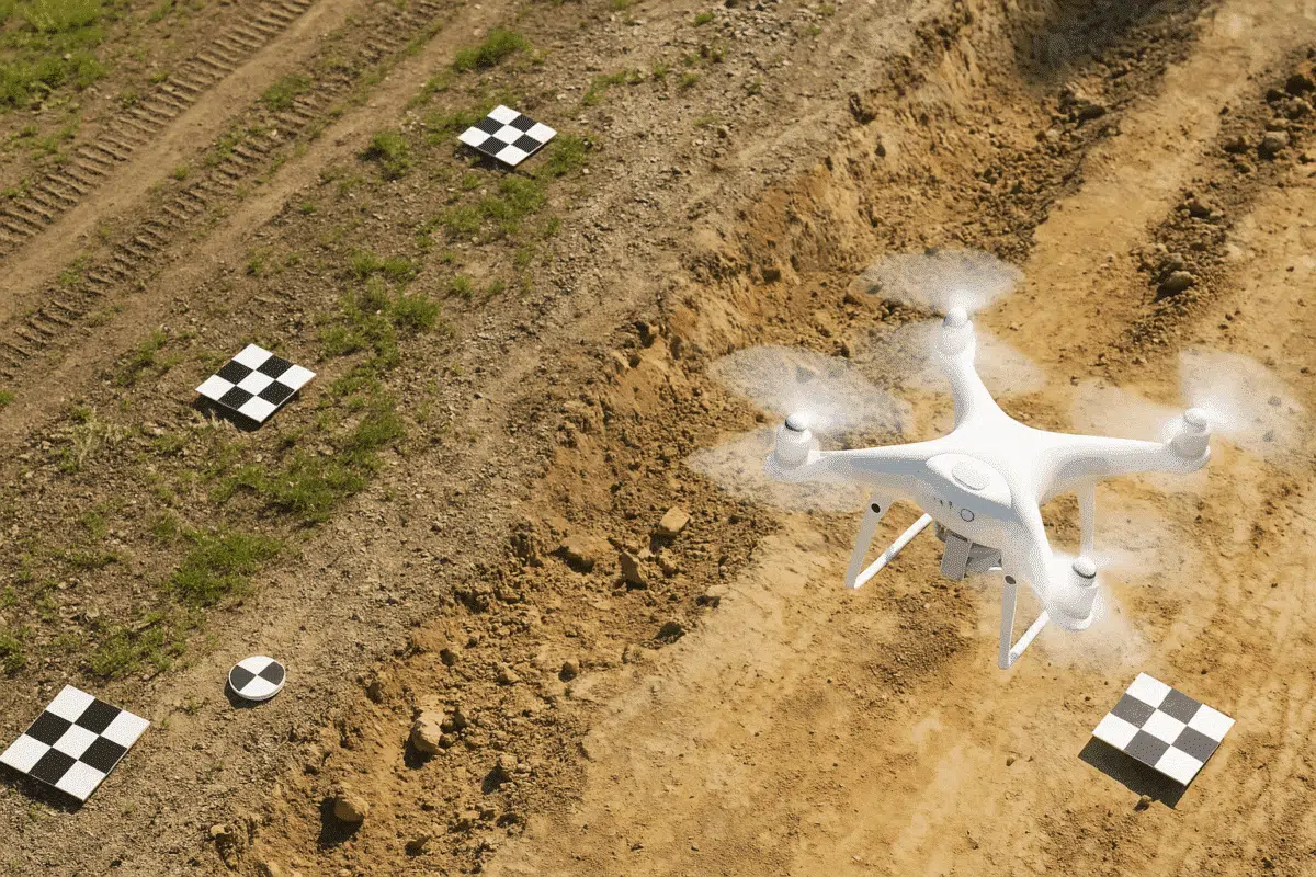
Georeferencing is essential for producing accurate, real-world scaled 3D models and maps. Ground Control Points (GCPs) play a vital role in this process by anchoring your photogrammetry data to known Earth coordinates. In this guide, we’ll walk you through how to use GCPs in Agisoft Metashape to boost accuracy and reduce spatial error. What Are […]