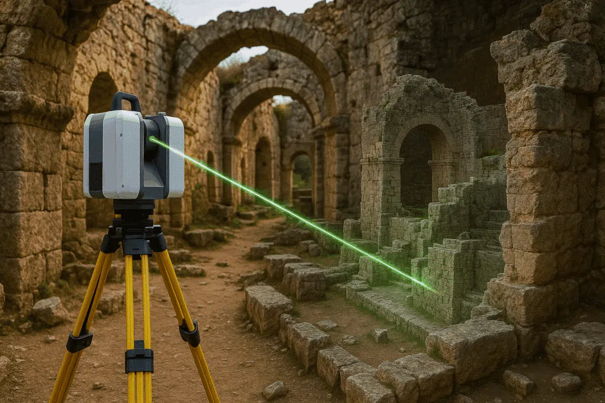
The release of Agisoft Metashape 2.2 has brought significant improvements in handling terrestrial laser scans (TLS). These datasets, captured by ground-based LiDAR systems, are crucial for industries such as construction, cultural heritage preservation, mining, and engineering. This article provides a comprehensive overview of how to import, process, and refine TLS data in Metashape 2.2, making […]
Author Archives: admin
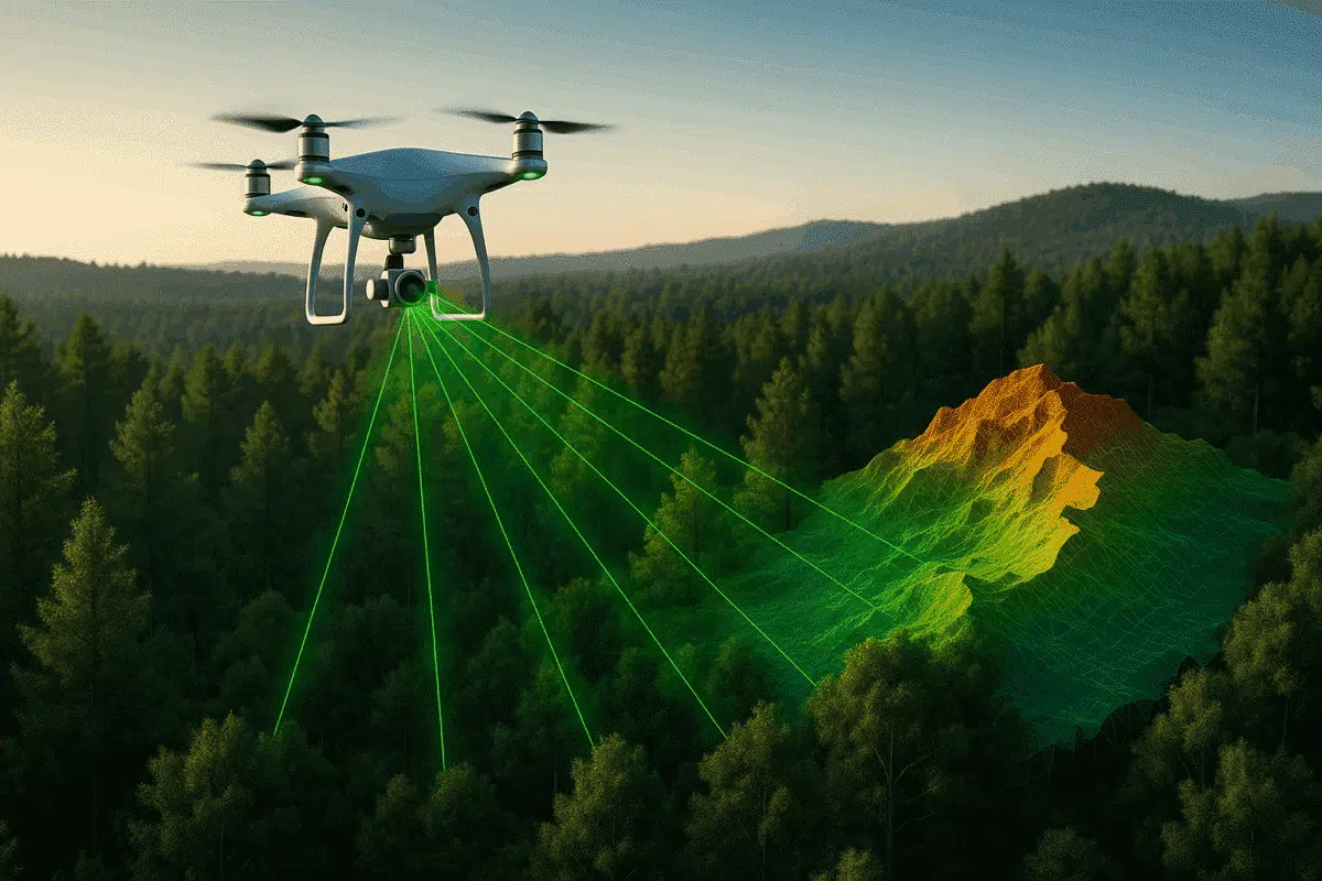
The integration of aerial laser scans with advanced photogrammetry software has transformed the way we capture and analyze our world. Among the leading tools for this purpose, Agisoft Metashape stands out for its ability to process both aerial imagery and LiDAR data efficiently. This article explores how to manage aerial laser scan datasets within Metashape, […]
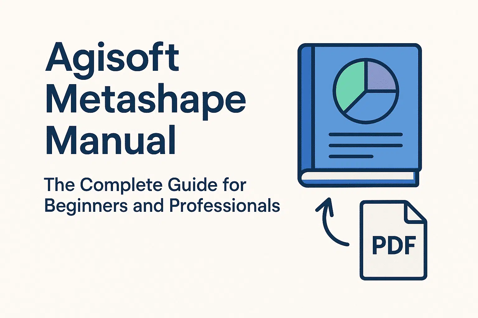
If you are exploring the world of photogrammetry, 3D modeling, or drone mapping, one of the most valuable resources you can rely on is the manuale Agisoft Metashape. This comprehensive document, published directly by Agisoft, provides all the instructions, workflows, and technical explanations needed to use the software effectively. In this article, we will introduce […]
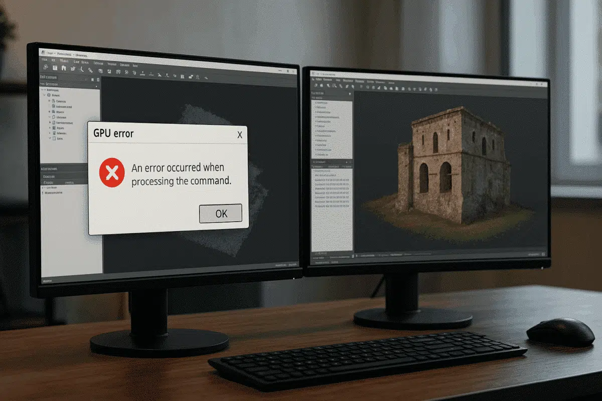
Agisoft Metashape is widely regarded as one of the most efficient tools for photogrammetry and 3D reconstruction. By leveraging GPU acceleration, the software can handle demanding tasks such as dense cloud generation, mesh building, and texture mapping much faster than using CPU alone. However, some users encounter frustrating GPU error messages in Agisoft Metashape, which […]
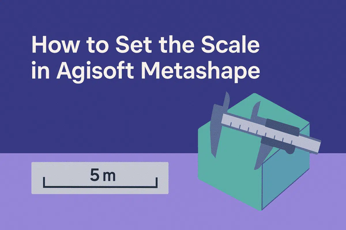
Agisoft Metashape is one of the most popular photogrammetry software solutions, used in surveying, archaeology, construction, mining, and many other fields. While the software can generate highly detailed 3D models from images, the results are often in arbitrary units unless you set the scale. Without scaling, measurements of distances, areas, and volumes won’t correspond to […]
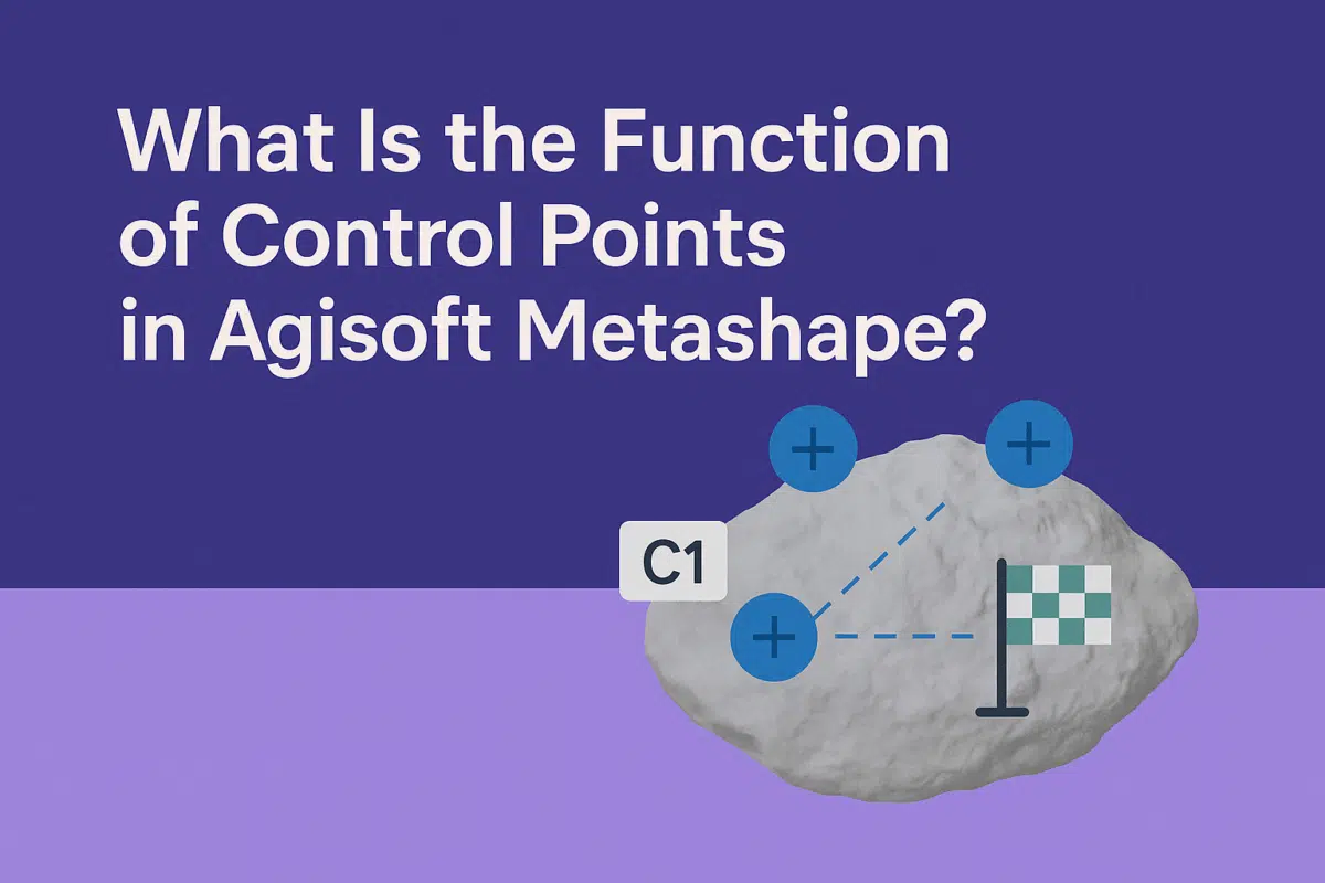
Agisoft Metashape is a powerful photogrammetry software that transforms images into accurate 3D models, orthophotos, and digital elevation models. One of the key elements that ensures accuracy in these outputs is the use of control points. But what exactly are control points, and what is their function in Metashape? In this guide, we explain the […]
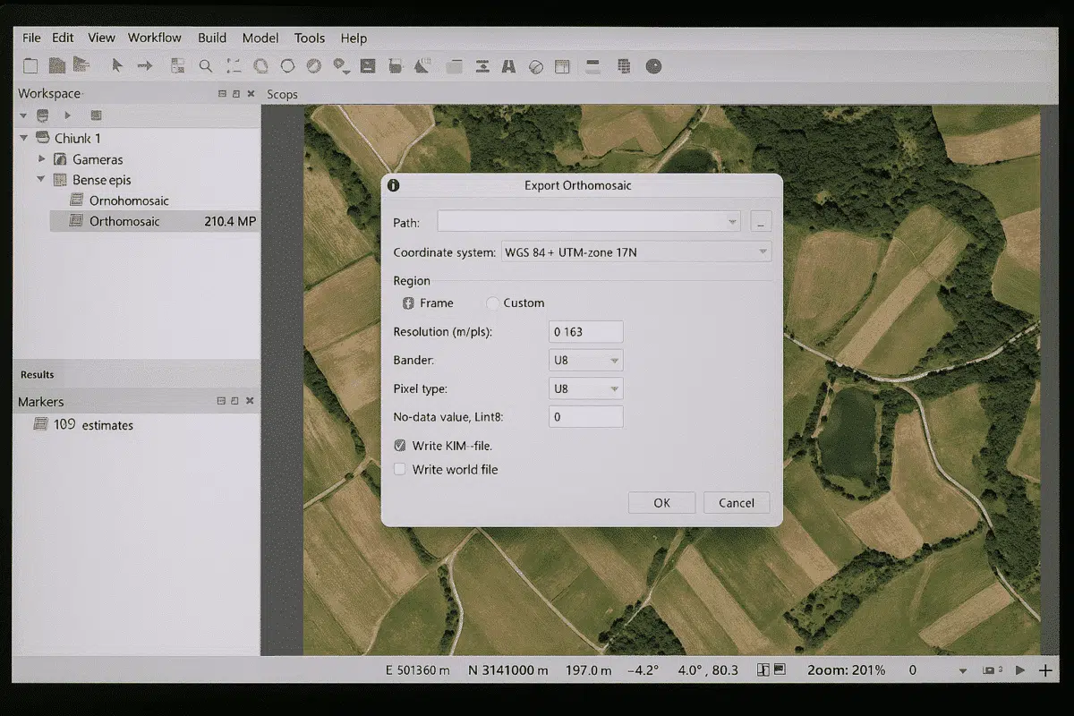
Agisoft Metashape is a powerful photogrammetry software that allows users to create 3D models, orthophotos, and digital elevation models from aerial and terrestrial imagery. Once your project is processed, one of the most important tasks is exporting an image from Agisoft Metashape. This can include exporting an orthophoto, a DEM, or even a textured model […]
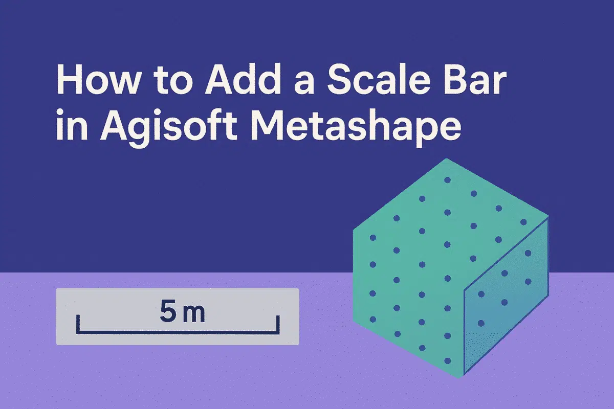
Agisoft Metashape is a leading photogrammetry software used by professionals in surveying, archaeology, construction, and many other industries. One of the most important steps in ensuring the accuracy of your 3D models is adding a scale bar. Scale bars allow you to define known distances within your project, making it possible to convert relative measurements […]
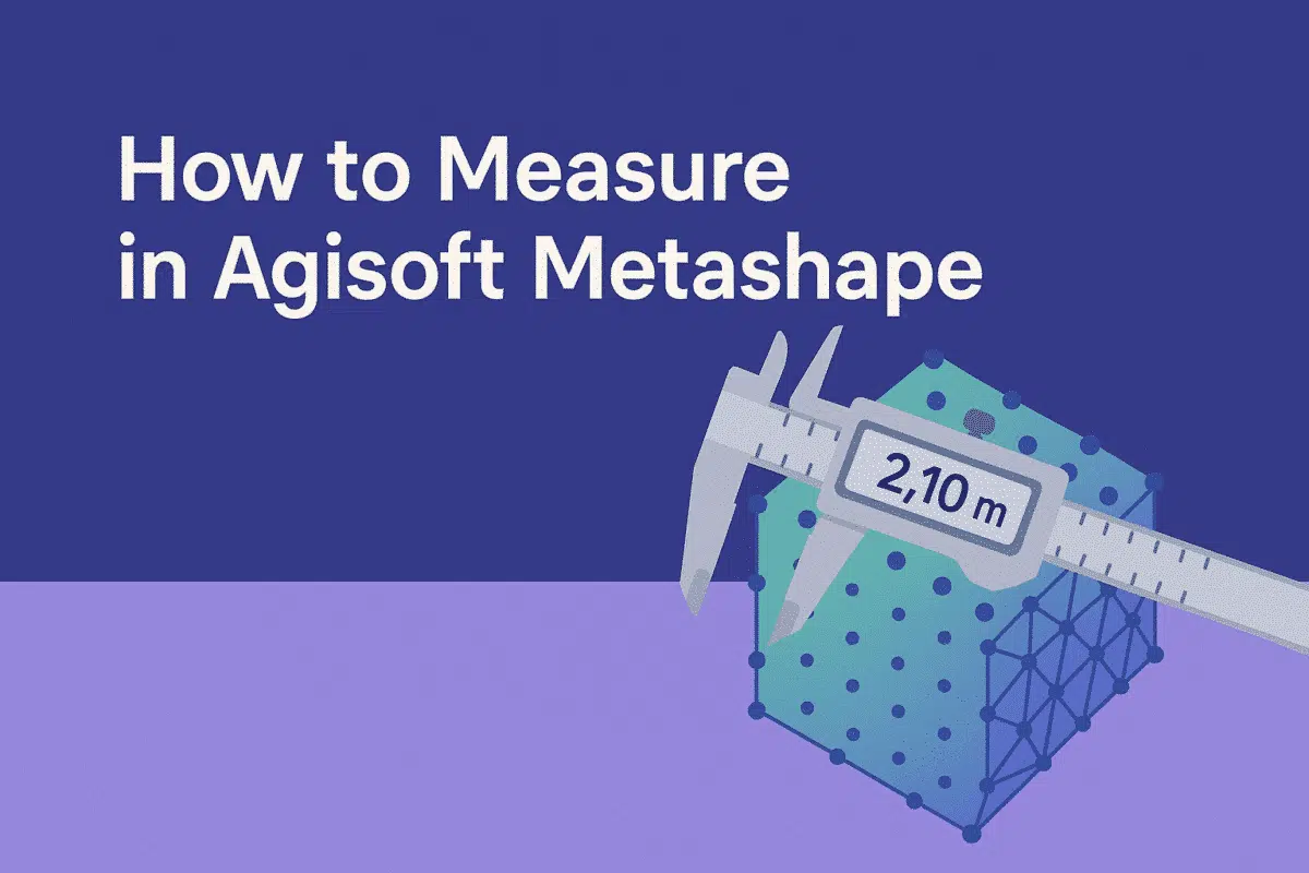
Agisoft Metashape is one of the most advanced photogrammetry tools available today, widely used for surveying, mapping, archaeology, mining, and construction. Beyond generating 3D models, orthophotos, and DEMs, Metashape provides powerful tools for measuring distances, areas, and volumes. Understanding how to measure correctly in Metashape is crucial for anyone working with spatial data. In this […]
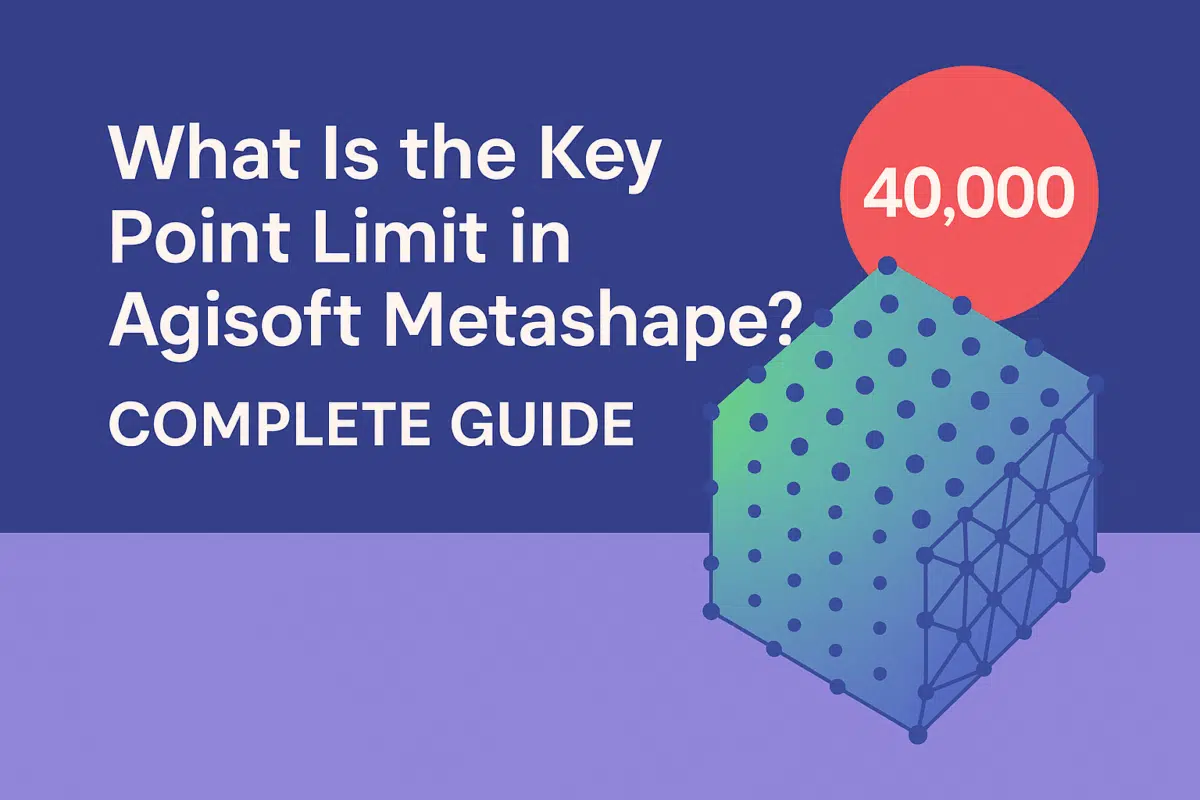
When working with Agisoft Metashape, one of the most important settings you will encounter during the photo alignment stage is the Key Point Limit. Many new users ask: What is the key point limit, and how does it affect my project? Understanding this parameter is essential for balancing processing speed, accuracy, and memory usage in […]