

 Italiano
 Français
 Deutsch
 Español
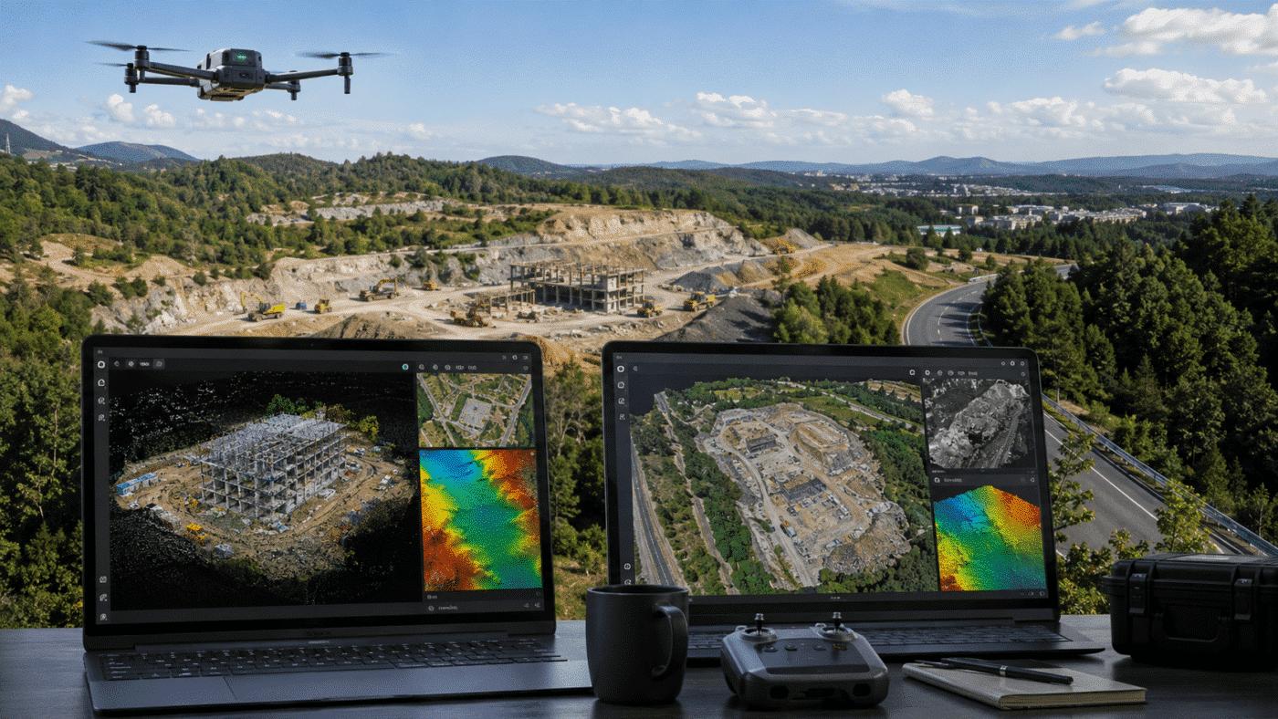
Choosing between Agisoft Metashape and DJI Terra is an important decision for surveyors, drone operators, engineers, construction professionals and geospatial companies looking for reliable photogrammetry software.
Both platforms can transform aerial imagery into accurate geospatial products, including point clouds, 3D models, orthomosaics and elevation data. However, their approach is different.
Agisoft Metashape is generally the more flexible photogrammetry platform, particularly when working with different cameras, drones, coordinate systems, Ground Control Points (GCPs), multispectral imagery or automated workflows. DJI Terra, on the other hand, offers particularly strong integration with the DJI Enterprise ecosystem.
So, when comparing Agisoft Metashape vs DJI Terra, which one should you choose in 2026?
Agisoft Metashape vs DJI Terra: Quick Comparison
| Feature | Agisoft Metashape Professional | DJI Terra |
|---|---|---|
| Photogrammetry | Yes | Yes |
| Orthomosaic generation | Yes | Yes |
| DSM / DTM | Yes | Yes |
| Ground Control Points | Yes | Yes |
| RTK drone processing | Yes | Yes |
| LiDAR processing | Yes | Yes |
| Multispectral processing | Yes | Yes |
| 3D modeling | Yes | Yes |
| Windows | Yes | Yes |
| macOS | Yes | No |
| Linux | Yes | No |
| Python automation | Yes | More limited compared with Metashape |
| Network / distributed processing | Yes | Available depending on configuration |
| Non-DJI cameras | Excellent flexibility | More DJI-focused |
| Perpetual licensing | Yes | Available for selected editions |
The best choice therefore depends less on which software can produce a 3D model and more on the type of workflow you intend to build around it.
Photogrammetry and Drone Mapping
Both Metashape and DJI Terra are designed for professional photogrammetric reconstruction.
With Agisoft Metashape Professional, users can process nadir and oblique aerial photographs, generate dense point clouds, build textured 3D models and create georeferenced orthomosaics, DSMs and DTMs.
One of Metashape’s main advantages is that it is largely independent of the drone manufacturer. Images can come from DJI drones, other UAV platforms, conventional cameras, multi-camera systems and several specialized sensors.
This makes Metashape particularly attractive to organizations that operate different aircraft or expect their hardware fleet to change over time.
DJI Terra is naturally more closely integrated with DJI’s own ecosystem. For companies already operating DJI Enterprise drones and DJI LiDAR payloads, this can provide a streamlined path between data acquisition and reconstruction.
RTK, GCPs and Surveying Workflows
For professional surveying, accurate georeferencing is often more important than simply generating an attractive 3D model.
Metashape Professional provides extensive tools for Ground Control Points, checkpoints, camera coordinates, coordinate reference systems and vertical datums.
RTK or PPK camera coordinates can be incorporated into the photogrammetric workflow, while independent checkpoints can be used to evaluate the resulting accuracy.
Metashape also supports EPSG coordinate systems and configurable vertical datums, which can be particularly important when drone elevations need to be transformed between ellipsoidal and orthometric heights.
DJI Terra also supports professional survey workflows and is particularly convenient when processing data collected using compatible DJI RTK equipment.
However, users working with multiple sensor manufacturers, unusual coordinate systems or customized processing procedures may find Metashape’s broader photogrammetric environment more flexible.
LiDAR Processing
LiDAR has become increasingly important in drone surveying, forestry, infrastructure inspection and topographic mapping.
Both platforms support LiDAR workflows, although they approach them from different ecosystems.
DJI Terra has particularly strong integration with LiDAR data collected using DJI Enterprise payloads. This makes it an attractive solution for operators whose complete acquisition ecosystem is based around DJI hardware.
Agisoft Metashape Professional also supports aerial LiDAR data and laser scans. LiDAR can be integrated with photogrammetric information, classified and incorporated into wider reconstruction workflows.
For projects combining photogrammetry, terrestrial laser scanning, aerial LiDAR or data from different manufacturers, Metashape can therefore offer an important degree of flexibility.
Multispectral and Agriculture Applications
Both applications can be used for multispectral reconstruction, but Metashape provides a particularly flexible environment for users working with different multispectral cameras.
Metashape Professional supports RGB, NIR, thermal and multispectral imagery. It can generate multichannel orthomosaics and calculate user-defined vegetation indices such as NDVI.
This makes it suitable for precision agriculture, forestry, environmental monitoring and research projects using sensors from different manufacturers.
DJI Terra also provides multispectral reconstruction and is an obvious option for organizations operating within DJI’s agricultural and enterprise ecosystem.
Operating System Compatibility
One of the clearest differences in the Agisoft Metashape vs DJI Terra comparison is operating system support.
Agisoft Metashape is available for Windows, macOS and Linux.
DJI Terra is designed for a 64-bit Windows environment and relies on compatible NVIDIA graphics hardware for reconstruction workflows.
This can make Metashape considerably more attractive for universities, research organizations, Linux-based processing servers and companies using mixed workstation environments.
Automation and Large Projects
Automation is another area where Metashape Professional stands out.
Metashape includes a Python API and Java bindings, allowing organizations to automate repetitive processing, integrate photogrammetry into custom production pipelines and execute complex batch workflows.
It also provides network processing capabilities, enabling calculations to be distributed across multiple computers.
For organizations processing hundreds of projects or developing customized photogrammetry workflows, these automation capabilities can become a significant advantage.
DJI Terra also provides options for processing demanding datasets and enterprise-scale reconstruction workflows, particularly within the DJI ecosystem.
Agisoft Metashape vs DJI Terra Licensing
Another important factor to consider is how the software will be deployed inside your organization.
Agisoft offers node-locked and floating licenses for Metashape Professional.
A node-locked license is designed for use on a single workstation at a time and can be transferred when required. Floating licensing is designed for organizations that need to manage access across multiple computers through a license server.
Metashape licenses are perpetual and are not time-limited.
DJI Terra is available in different editions and licensing configurations, including permanent licensing options for selected versions.
Companies planning a multi-user environment should therefore consider not only the initial license cost, but also how many computers need access to the software, how frequently licenses need to be moved and whether centralized license management is required.
Which Software Is Better for DJI Drones?
If your workflow is entirely based around DJI Enterprise hardware and your priority is a closely integrated DJI environment, DJI Terra can be an excellent choice.
However, using a DJI drone does not mean that you need to use DJI Terra.
Metashape can process imagery from DJI mapping drones while providing greater flexibility for GCP management, coordinate systems, different sensors, automation and third-party workflows.
For organizations that want to avoid tying their photogrammetry workflow to a single drone manufacturer, this can be a major consideration.
Agisoft Metashape vs DJI Terra: Which Is Better?
There is no universal winner because both applications are designed for professional geospatial work.
Choose DJI Terra if:
- Your workflow is predominantly based on DJI Enterprise hardware.
- You want close integration with DJI LiDAR and imaging systems.
- You primarily work in a Windows environment.
- You prefer a streamlined DJI-centered workflow.
Choose Agisoft Metashape Professional if:
- You use drones or cameras from different manufacturers.
- You need advanced GCP and coordinate system management.
- You work on Windows, macOS or Linux.
- You process photogrammetry, LiDAR or multispectral datasets.
- You need Python automation or customized workflows.
- You require node-locked or floating licensing.
- You want a photogrammetry platform that is independent of a particular drone manufacturer.
For many professional surveyors, engineering companies, researchers and geospatial organizations, Agisoft Metashape Professional provides the broader and more flexible long-term photogrammetry environment.
If your goal is to build a professional workflow that can evolve alongside different drones, sensors and processing requirements, Metashape is particularly attractive because the software is not tied to one specific hardware ecosystem.
Frequently Asked Questions
Can Agisoft Metashape process images from DJI RTK drones?
Yes. Metashape Professional can use camera position information and georeferencing data from aerial imagery and supports professional workflows using RTK coordinates, Ground Control Points and independent checkpoints.
Does DJI Terra work on macOS?
No. DJI Terra is designed for Windows. Agisoft Metashape is available for Windows, macOS and Linux.
Is Agisoft Metashape a perpetual license?
Yes. Agisoft Metashape licenses are perpetual and are not time-limited. Both node-locked and floating licensing options are available for Metashape Professional.
Can Metashape process LiDAR and photogrammetry together?
Yes. Metashape Professional supports aerial LiDAR and laser scan data as well as conventional photogrammetric imagery, making it suitable for workflows involving multiple types of geospatial data.
Is Metashape a good alternative to DJI Terra?
Yes. For users who need broader camera compatibility, cross-platform support, GCP management, coordinate system flexibility, multispectral processing or workflow automation, Agisoft Metashape Professional is one of the strongest alternatives to DJI Terra.
Try Agisoft Metashape Professional
If you are evaluating professional photogrammetry software for drone mapping, surveying, 3D reconstruction, LiDAR or multispectral processing, Agisoft Metashape Professional provides a flexible workflow that can be used with a wide range of drones, cameras and geospatial data sources.
Before choosing your processing platform, consider not only the drone you use today, but also the sensors, coordinate systems, automation requirements and projects your organization may need to support in the future.
