




Find the files that need attention before processing
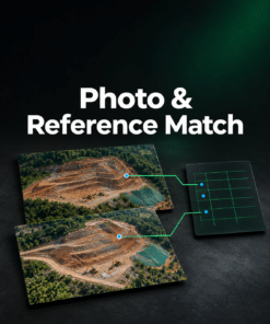
A folder can look complete while it contains unreadable JPEGs, repeated file names or incomplete reference data. Check your dataset first and see where to focus before starting work in Metashape.
Built for aerial, ground and indoor projects
Scan drone imagery, handheld photos, building interiors or close-range object captures. Choose the project type so a missing GPS position is treated appropriately. Add a camera CSV or ground control points when your workflow uses them.
See the findings for free
The scan checks JPEG structure, file names, numbering and camera or image settings. For aerial projects, it also plots the recorded camera locations and flags missing positions or unusual heights when the available metadata supports the check.
Get the complete list for $19
Download a CSV with every flagged file or reference record, the reason it was flagged and the next step to take. Work through the list yourself or send it to the colleague preparing the project.
$19 USD excl. tax · One-time purchase for this and future datasets. After payment, open Dataset Preflight from your order confirmation or email. Your photos and reference files are read in your browser.