
 Italiano
 Français
 Deutsch
 Español


Agisoft Metashape and Pix4D are two of the most widely used photogrammetry platforms for drone mapping and 3D modeling. Whether you’re working in surveying, agriculture, construction, or cultural heritage, choosing the right software can significantly impact your results. This article compares Metashape and Pix4D across several key aspects to help you decide which tool is […]
Category Archives: News

Agisoft Metashape is one of the most powerful photogrammetry tools on the market, used by drone professionals, engineers, archaeologists, and 3D artists alike. In this step-by-step guide, you’ll learn how to turn simple drone photos into accurate 3D models—ideal for mapping, construction, inspections, and more. What You Need to Start Before diving into the process, […]
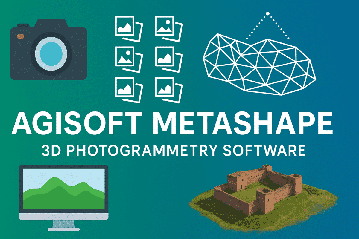
Agisoft Metashape is one of the most powerful photogrammetry tools on the market, trusted by professionals in surveying, archaeology, construction, agriculture, and more. This article explores what Metashape can do, who it’s for, and how to get the most out of it—whether you’re just starting out or already using drones and 3D models in your […]