

 Italiano
 Français
 Deutsch
 Español
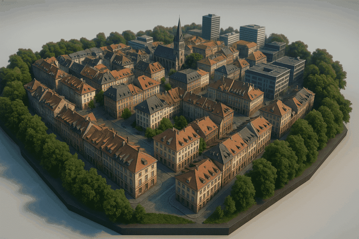
Creating realistic and accurate 3D city models has become more accessible thanks to advancements in drone photogrammetry and software like Agisoft Metashape. Whether you’re working in urban planning, architecture, or smart city development, a 3D reconstruction of cityscapes can provide invaluable spatial data. This article will guide you through the key steps and best practices […]
Tag Archives: Agisoft Metashape
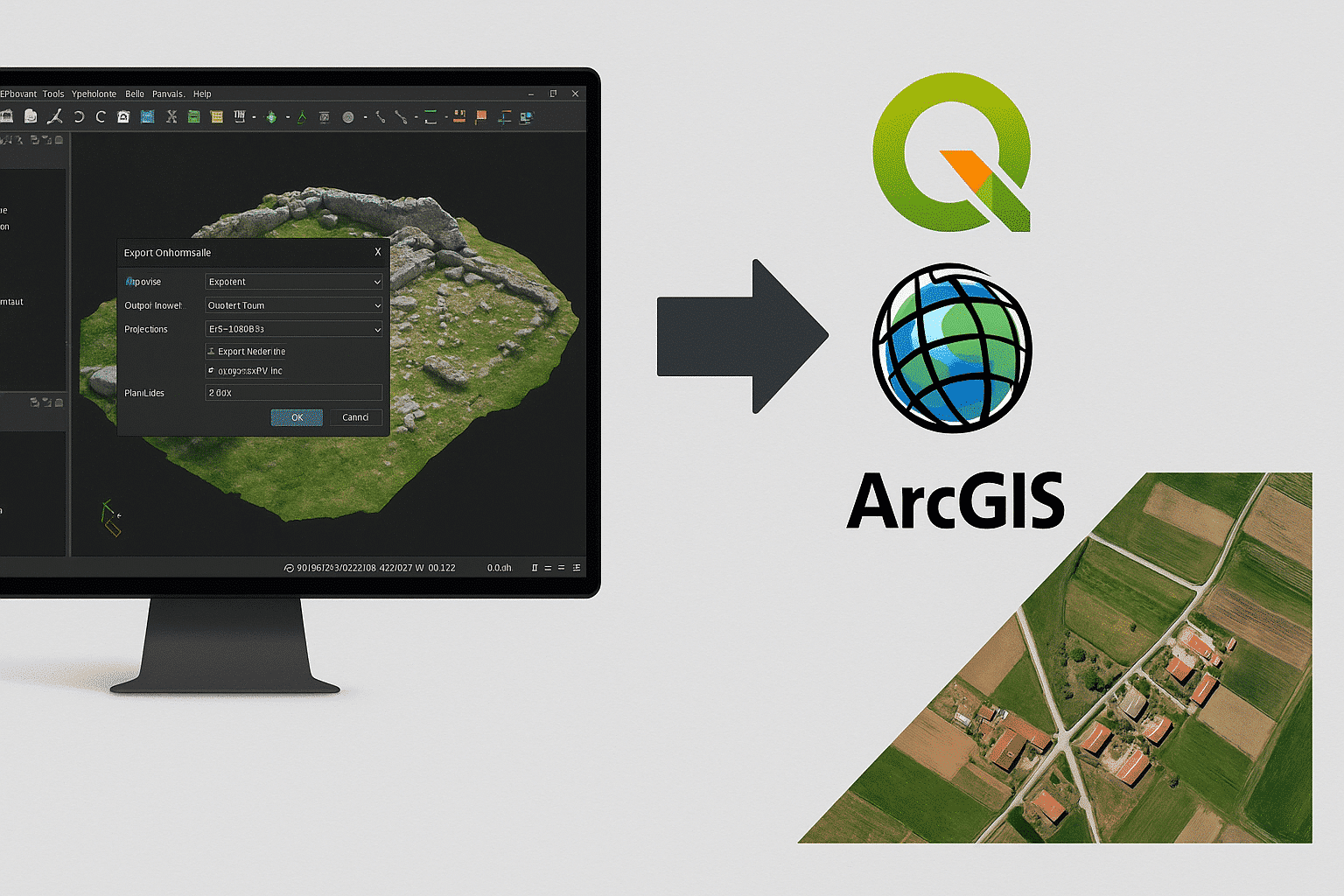
Agisoft Metashape is a powerful tool for photogrammetry, but its true value often emerges when exporting data to GIS platforms like QGIS and ArcGIS. Whether you’re working on land surveys, environmental analysis, or urban planning, exporting orthophotos and georeferenced maps properly ensures your data is usable in professional GIS workflows. In this article, we’ll walk […]
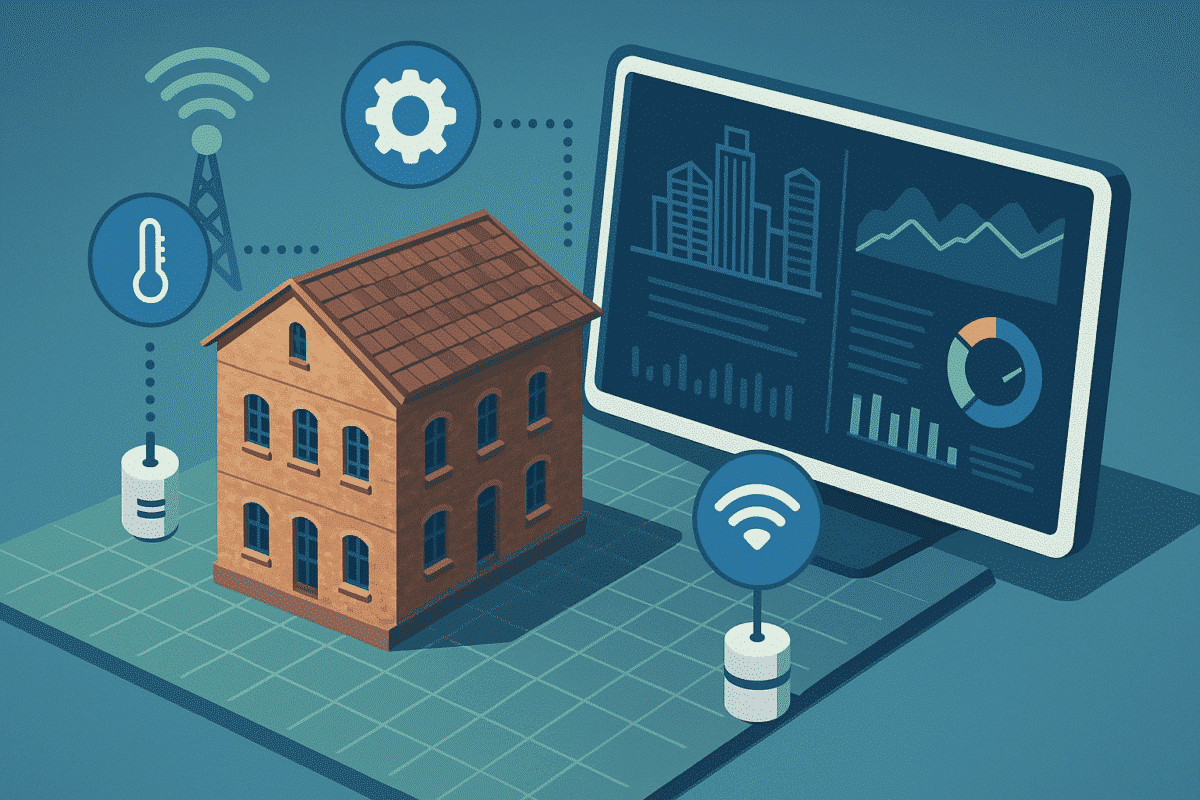
Digital twins are virtual representations of real-world assets that mirror their physical counterparts in real-time using data from sensors, cameras, and other inputs. With Agisoft Metashape, you can create highly accurate 3D models from drone or terrestrial imagery, forming the visual foundation of a digital twin. When combined with IoT (Internet of Things) sensors, these […]
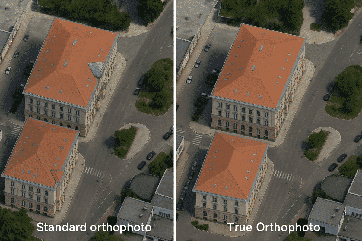
Agisoft Metashape is a powerful photogrammetry software used to generate high-resolution orthophotos, but standard orthophotos often suffer from one common issue in urban areas: building lean. This distortion occurs when tall structures appear tilted in the image due to off-nadir perspectives. In this guide, you’ll learn how to produce true orthophotos in Metashape by correcting […]
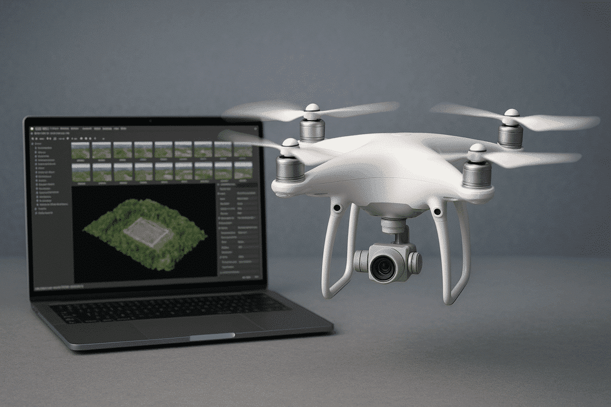
Combining DJI drones with Agisoft Metashape is one of the most efficient ways to perform accurate photogrammetry for 3D mapping, surveying, and inspections. Whether you’re capturing construction sites, cultural heritage, or agricultural fields, this guide provides a detailed overview of how to set up your DJI drone, plan your flight, and process the data effectively […]
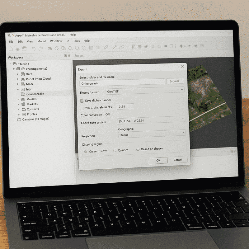
Agisoft Metashape is one of the leading photogrammetry software solutions used worldwide in fields such as surveying, archaeology, mining, cultural heritage, and visual effects. One of the key reasons for its popularity is its compatibility with a broad range of file formats, allowing users to seamlessly import and export data across different platforms and workflows. […]
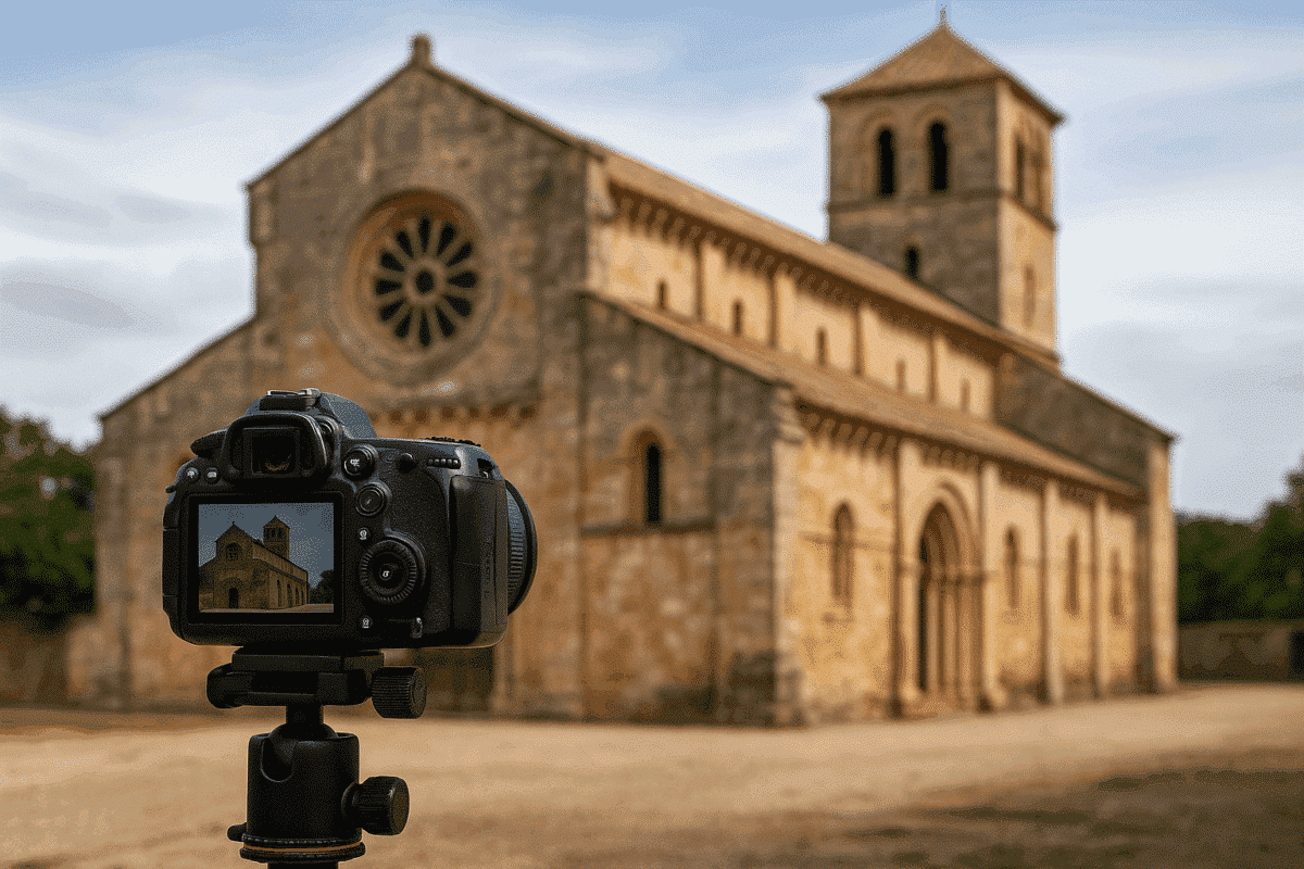
Agisoft Metashape is a powerful photogrammetry tool that has become essential for the preservation and documentation of historical buildings. Whether you are working in archaeology, architecture, or cultural heritage, Metashape offers a complete pipeline to turn site photography into high-quality, measurable 3D models and visual records. This guide walks you through the full workflow—from field […]
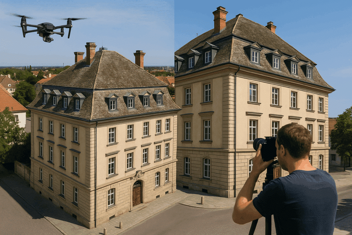
Creating high-quality 3D models of buildings using Agisoft Metashape depends heavily on your data collection method. Whether you’re modeling for architecture, cultural heritage, construction, or real estate, the way you capture your images determines the accuracy, detail, and usability of your final model. In this guide, we’ll explore the best collection methods for building reconstruction, […]
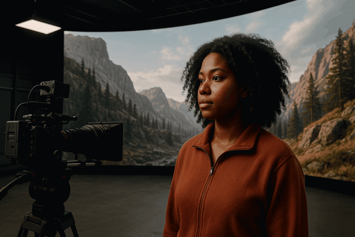
Volumetric filmmaking is reshaping the film and game industry by blending real-world scenes with virtual production. Agisoft Metashape, known for its precision in photogrammetry, is increasingly used to scan environments, props, and actors in 3D. When combined with real-time engines like Unreal or Unity, Metashape enables creators to build immersive sets, digital doubles, and fully […]
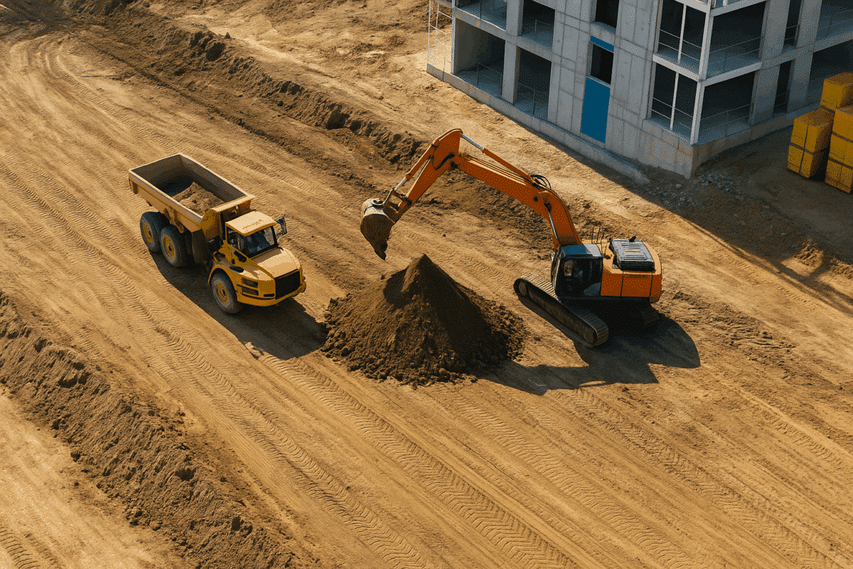
In modern construction projects, real-time site updates and precise volume measurements are key for efficient decision-making. Agisoft Metashape offers a powerful photogrammetry solution to transform drone images into 3D models, orthophotos, and digital terrain models (DTMs). These outputs are crucial for construction monitoring, cut-fill analysis, and progress documentation. Why Use Metashape for Construction Sites? Construction […]
