
Agisoft Metashape is one of the most trusted photogrammetry tools on the market, used by professionals in surveying, drone mapping, archaeology, and 3D reconstruction. But many users ask the same question before buying: Is Metashape a one-time purchase? This article answers that question in full and explains what you need to know about Metashape’s licensing, […]
Author Archives: admin
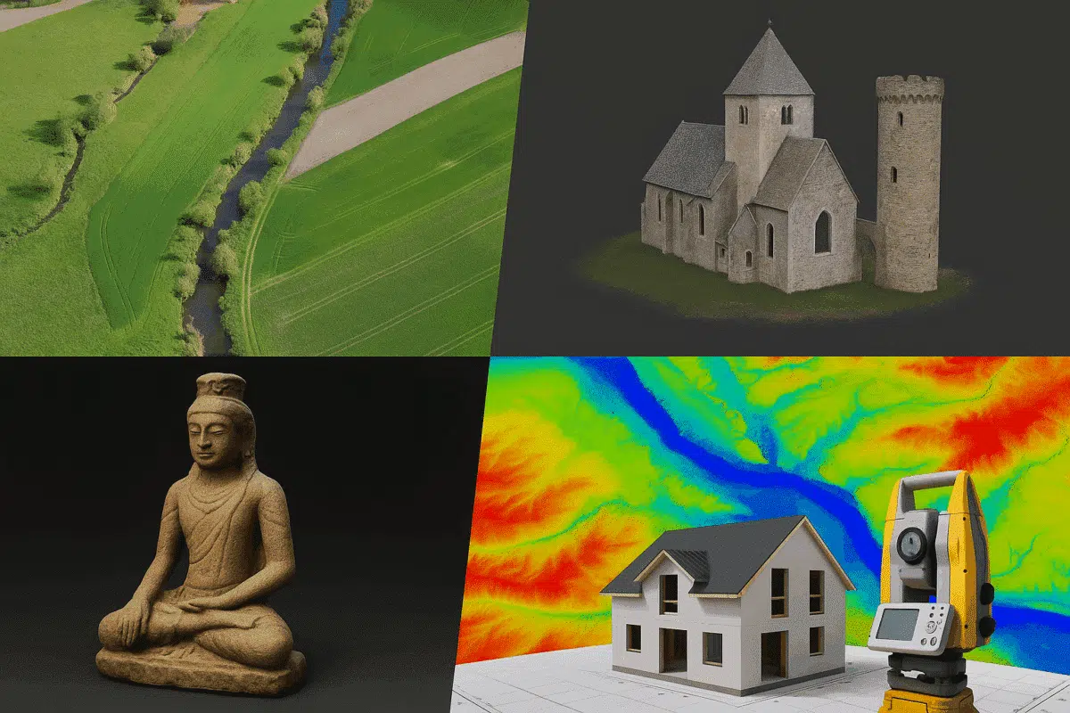
Agisoft Metashape is a powerful photogrammetry software that transforms ordinary images into precise 3D models and geospatial data. But what is it really used for, and who uses it? In this article, we explore the most common applications of Metashape in professional fields like drone mapping, surveying, archaeology, and beyond. What Is Agisoft Metashape? Agisoft […]
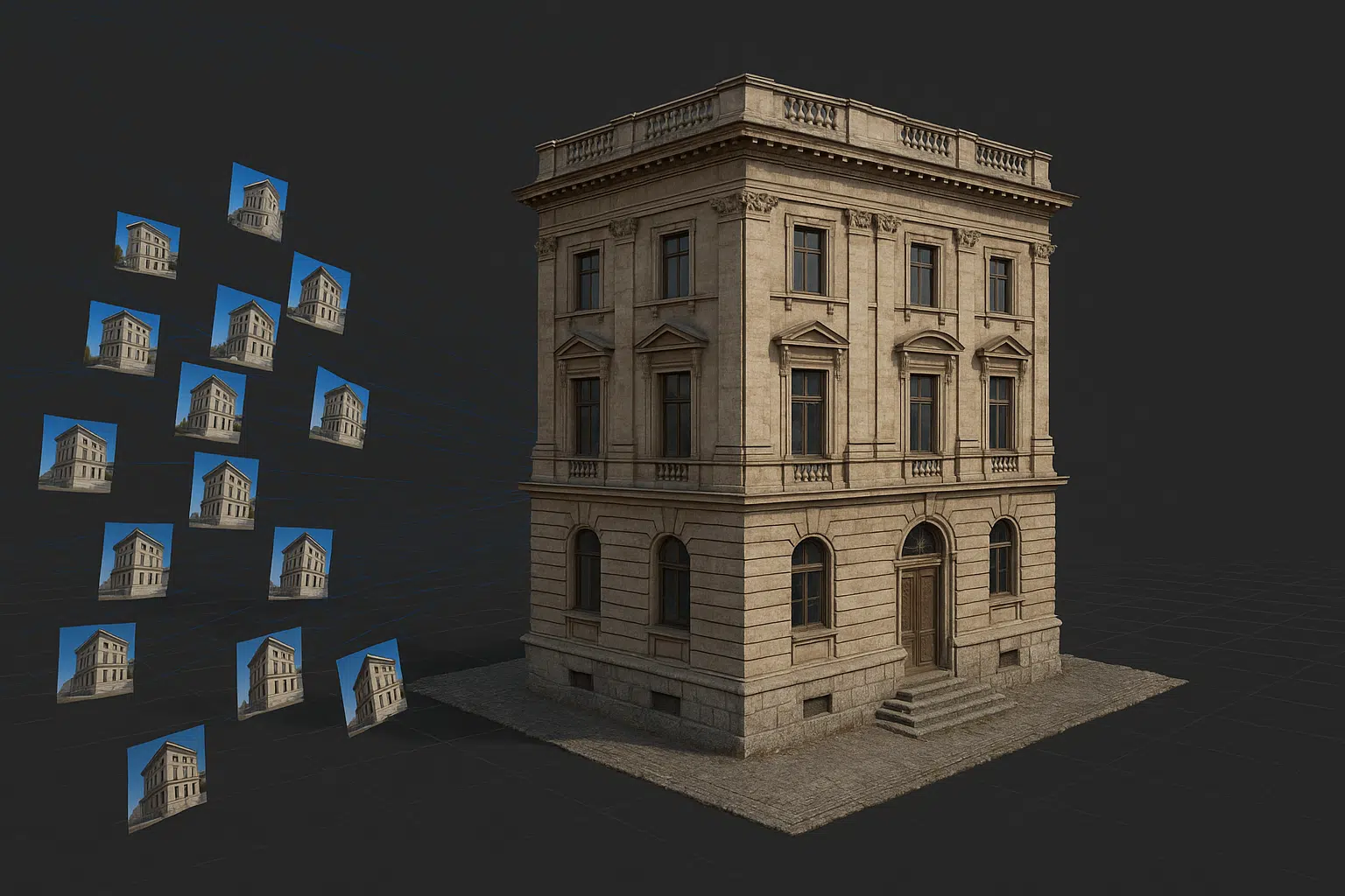
Photogrammetry has become an essential technology for creating detailed 3D models of real-world environments and objects. Whether for surveying, archaeology, engineering, or visual effects, converting photographs into accurate 3D data has never been more accessible. This comprehensive guide explores how to use Agisoft Metashape to produce high-quality 3D reconstructions, orthophotos, and digital elevation models (DEMs) […]
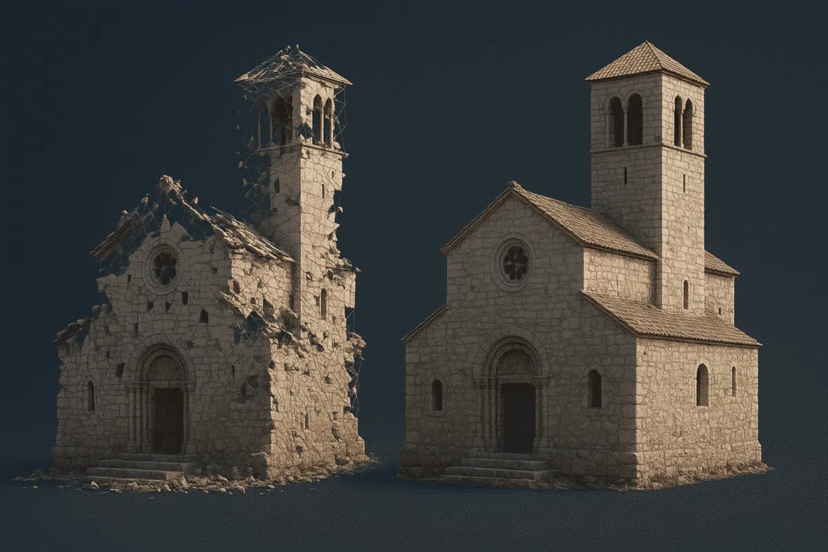
Building Information Modeling (BIM) has become the industry standard for managing the entire lifecycle of a structure—from design to construction and maintenance. But what if you’re starting from existing architecture or heritage buildings? This is where Agisoft Metashape plays a key role. In this guide, we explore how to use Metashape to create accurate 3D […]

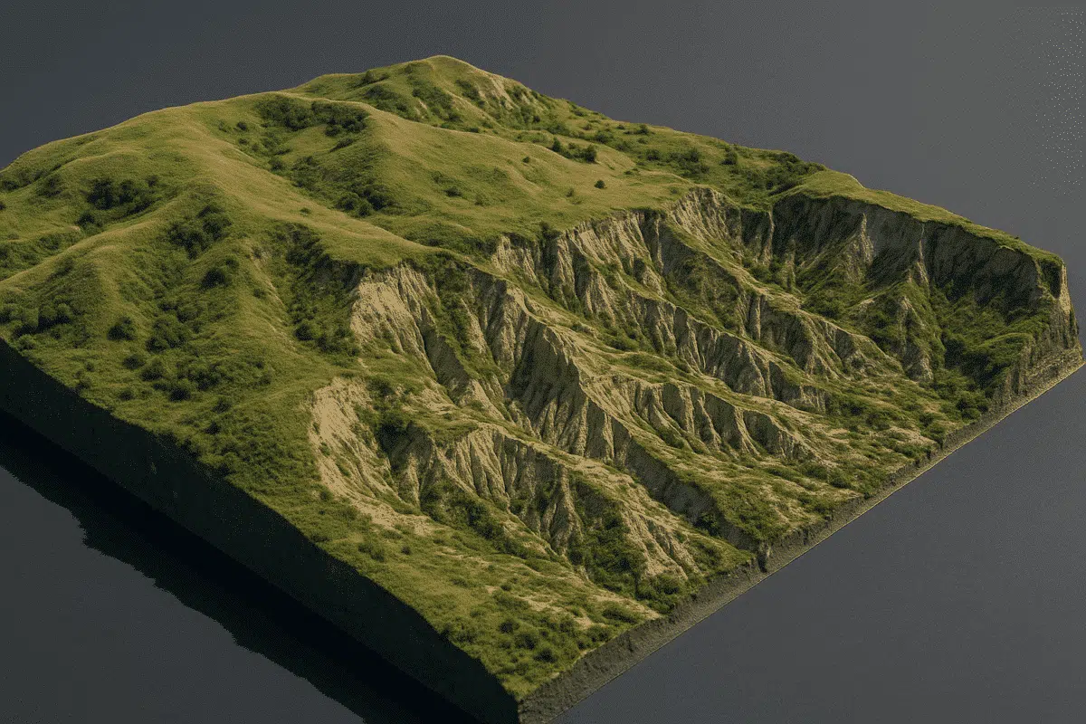
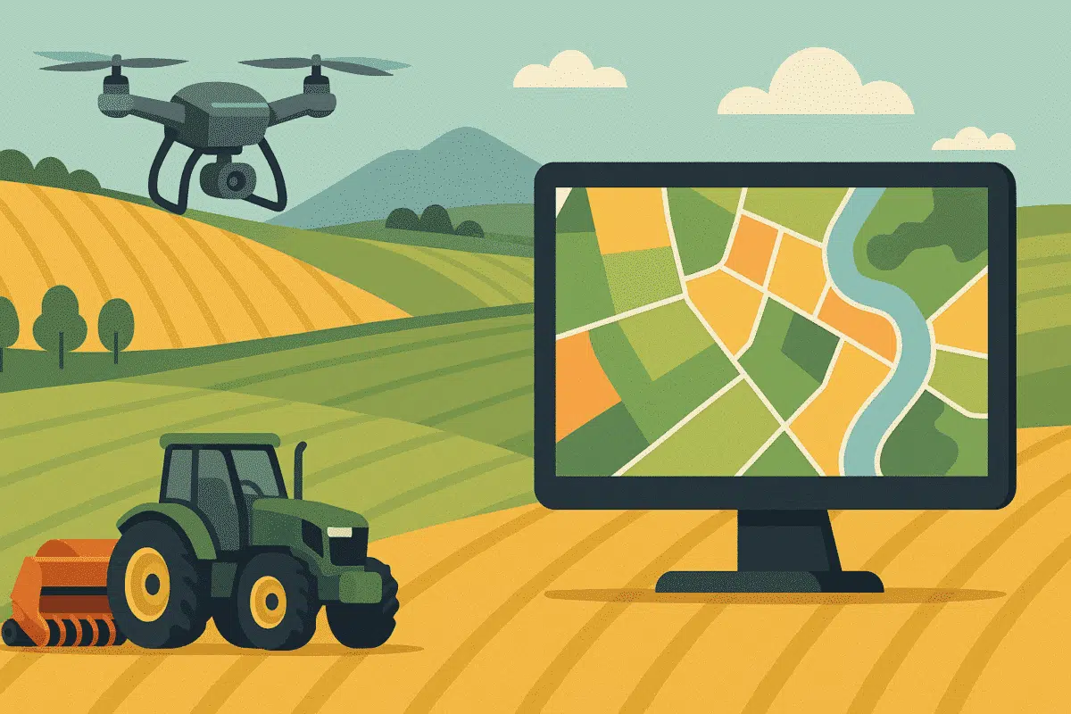
Drone surveying has become one of the most efficient ways to collect geospatial data, and when combined with Agisoft Metashape, it becomes a powerful workflow for producing accurate 3D maps, digital elevation models (DEMs), orthophotos, and point clouds. This comprehensive guide explores how to use drones with Metashape, including flight planning, data processing, and real-world […]

Agisoft Metashape is a powerful photogrammetry software trusted by professionals across industries like surveying, construction, archaeology, and visual effects. But to unlock its full potential, it’s crucial to understand which settings deliver the best results for high-precision 3D reconstructions. In this article, we’ll walk through the most important parameters for aligning photos, building dense clouds, […]

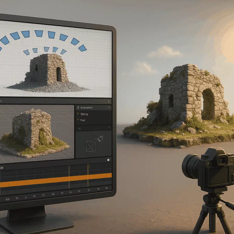
Agisoft Metashape is one of the most powerful tools for generating 3D models from photographs, widely used in surveying, archaeology, architecture, and research. This tutorial will guide you through the entire process—from capturing images to exporting a 3D mesh—so you can produce high-quality 3D models even if you’re just getting started. What You Need Before […]
Agisoft Metashape is widely used for photogrammetry—turning real-world images into detailed 3D models. Blender is one of the most powerful free 3D animation and rendering tools. Together, they form a powerful pipeline to create realistic 3D animations from drone surveys, archaeological sites, and scanned objects. In this article, we’ll guide you step-by-step through using Metashape […]
Agisoft Metashape is a powerful tool for creating accurate 3D models and maps from aerial images. But even experienced users make small mistakes that can lead to poor results, long processing times, or unusable outputs. In this article, we reveal the 7 most common mistakes users make in Metashape—and how to avoid them for perfect […]
Agisoft Metashape and RealityCapture are two of the most popular photogrammetry platforms in 2025. Whether you’re building 3D maps from drone imagery or digitizing objects for cultural heritage, choosing the right tool can impact your speed, output quality, and project costs. In this guide, we compare Metashape and RealityCapture across key features to help you […]