With Apple’s transition from Intel to its own ARM-based silicon chips like the M1, M1 Pro/Max, and M2, many users have wondered: Does Agisoft Metashape work on Apple Silicon Macs? The answer is yes—with some important caveats. In this article, we’ll explore the current compatibility status, performance expectations, and best practices for running Metashape on […]
Author Archives: admin

Agisoft Metashape is a powerful photogrammetry tool, but when it crashes during GPU-intensive tasks like dense cloud generation or mesh building, it can be incredibly frustrating. Many users encounter GPU-related crashes—particularly on machines with dedicated graphics cards. This article explains why Metashape might crash during GPU processing, and how to troubleshoot and fix the issue […]
With release 2.2.x, Agisoft Metashape raises the bar in professional photogrammetry by integrating aerial LiDAR processing, AI‑driven workflows, and enhanced orthomosaic quality. From seamless boresight calibration to intelligent background removal and geoid embedding, Metashape 2.2.x empowers you to deliver pinpoint‑accurate results faster and with greater flexibility. Aerial LiDAR & Point Cloud Enhancements Boresight Calibration: Achieve […]
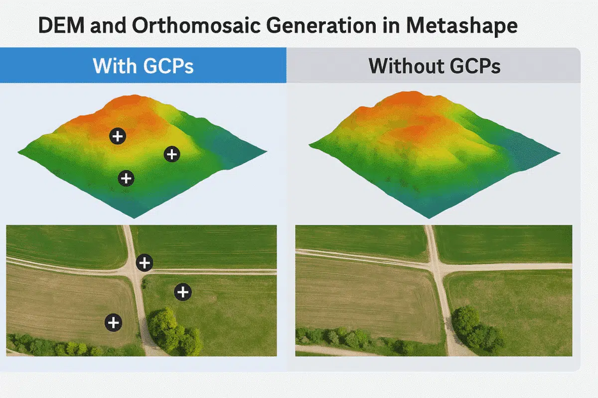
Agisoft Metashape is a powerful tool for generating high-resolution Digital Elevation Models (DEMs) and orthomosaics from drone or terrestrial imagery. A common question users face is: Can I generate accurate results without Ground Control Points (GCPs)? In this article, we explore the differences in workflows, accuracy, and use cases when working with or without GCPs […]
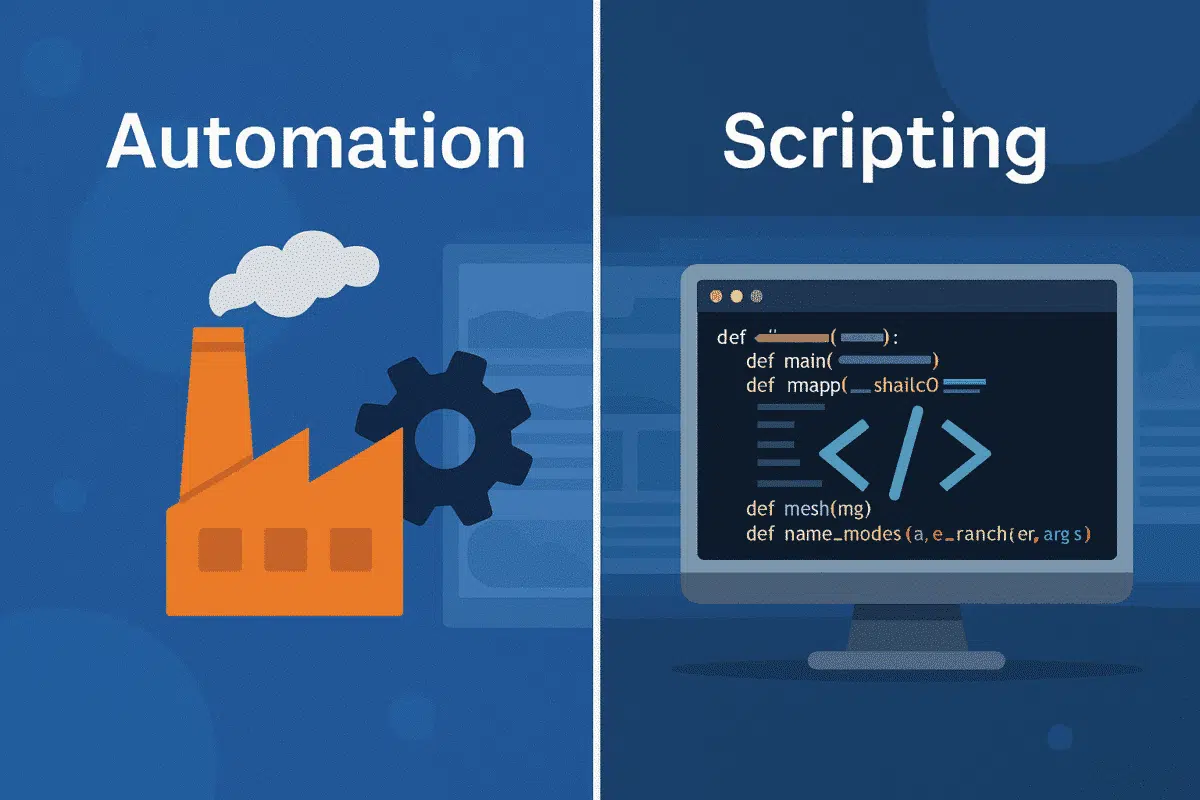
Agisoft Metashape is one of the most powerful photogrammetry tools available today. While its GUI offers rich features, many users unlock its true potential by extending it with Python scripts and plugins. Whether you need automation, advanced exports, or QA tools, this article covers the best scripts and extensions to enhance your Metashape workflow in […]
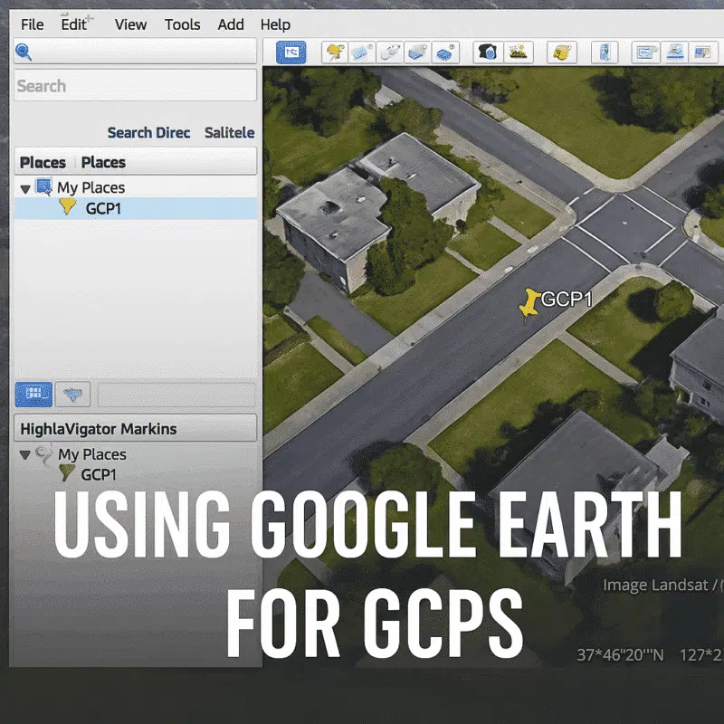
Ground Control Points (GCPs) are essential for georeferencing and improving the accuracy of 3D models in Agisoft Metashape. But what if you don’t have access to high-precision GNSS data? You can use Google Earth as a practical and free tool to extract approximate GCP coordinates. This article walks you through the process of using Google […]
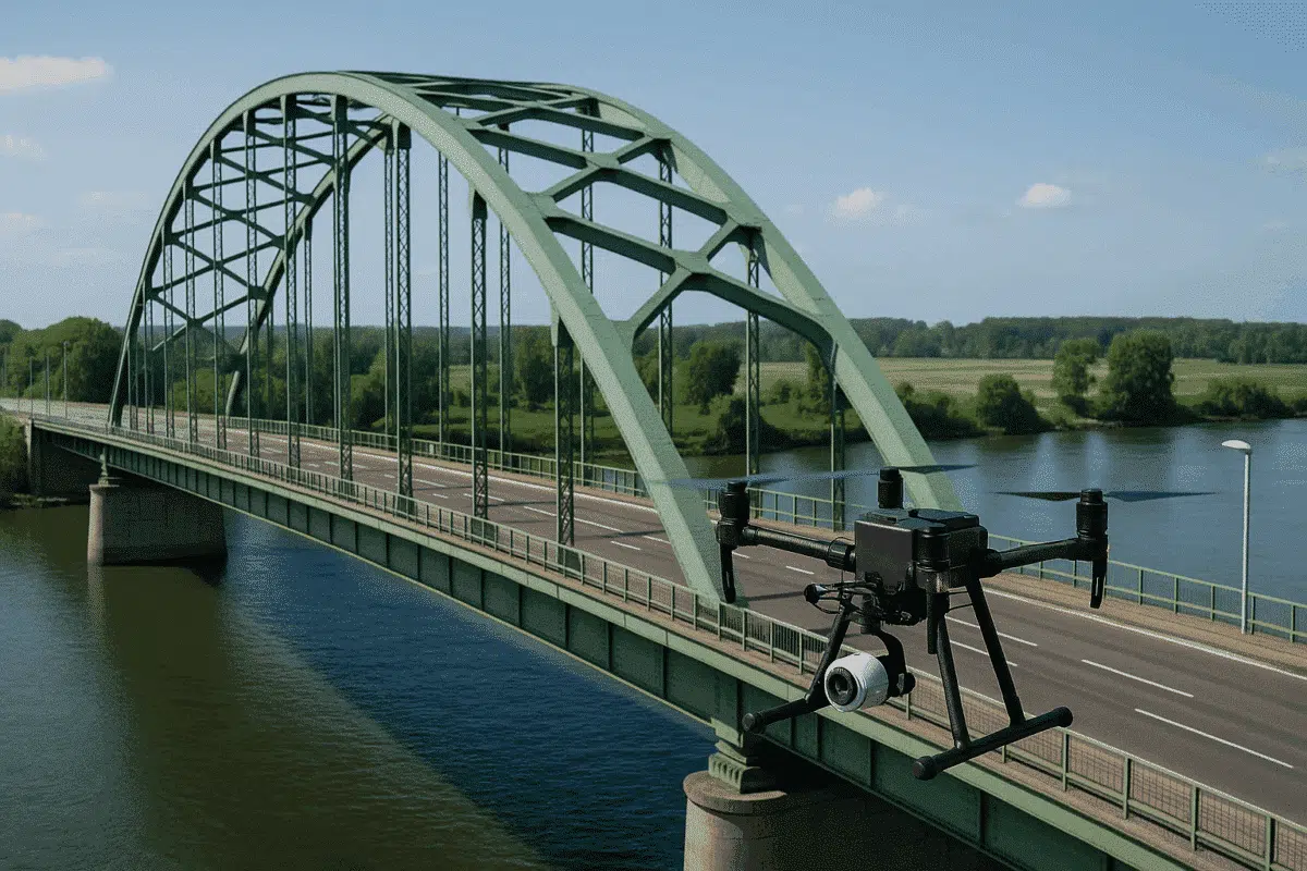
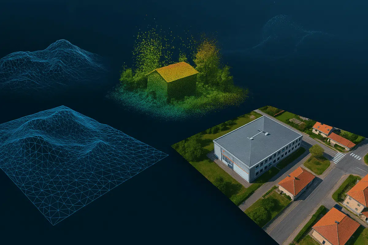
Drone inspection is revolutionizing infrastructure management, enabling fast, safe, and cost-effective surveys of complex assets such as bridges, buildings, powerlines, and roads. One of the most powerful tools in this workflow is Agisoft Metashape, a photogrammetry software that transforms drone imagery into precise 3D models. In this article, we’ll explore how Metashape can be effectively […]
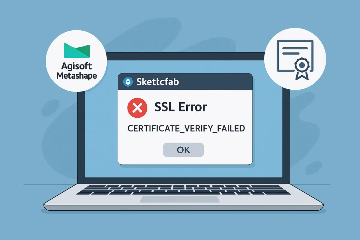
Trying to upload your 3D model from Agisoft Metashape to Sketchfab but running into an “SSL error”? You’re not alone. Many users experience issues when publishing directly to Sketchfab due to outdated SSL certificates or system configurations. In this article, we’ll explore why SSL errors occur, how to fix them, and what alternative methods you […]
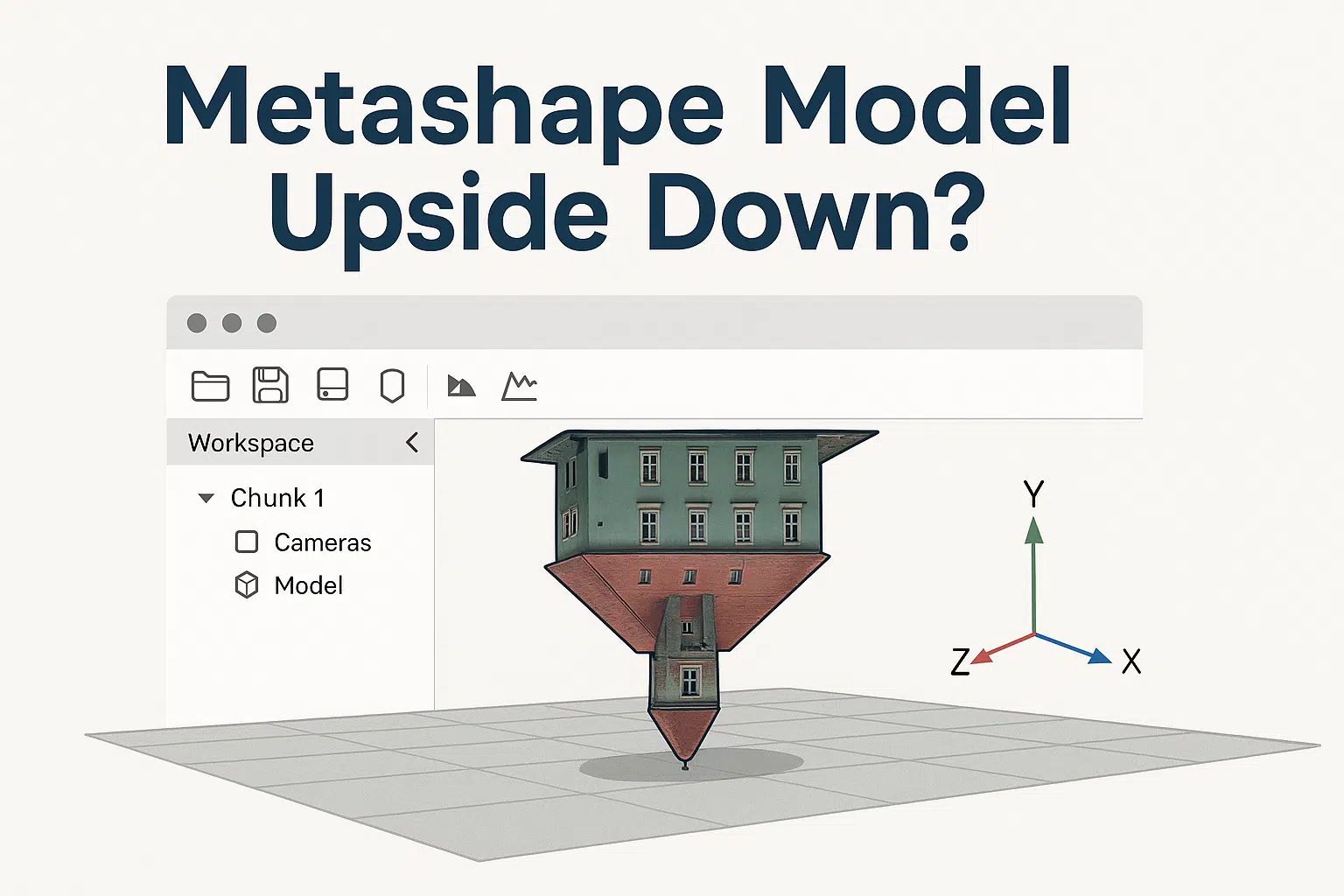
One of the most common frustrations among new users of Agisoft Metashape is discovering that their 3D model appears upside down after processing. Whether you’re generating a dense cloud, mesh, or textured model, this issue can throw off your entire workflow. Don’t worry—this is a solvable problem. In this article, we explain why it happens […]

If you’re a student or educator using Agisoft Metashape under an educational license, you may be wondering: what happens after graduation? Can you keep using the software commercially? Do you need to upgrade? In this guide, we’ll answer the most common questions about transitioning from an academic license to a commercial one—and what your options […]