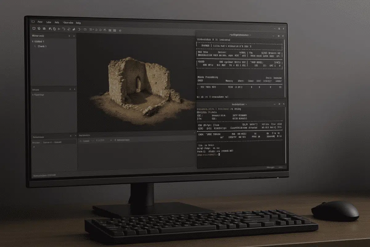
Agisoft Metashape is a leading photogrammetry and 3D reconstruction software used by professionals worldwide. While Windows and macOS are common environments, many advanced users prefer Linux for its flexibility, scalability, and performance advantages. However, running Metashape on Linux can sometimes present unique challenges. This troubleshooting guide covers the most common problems and solutions to ensure […]
Author Archives: admin
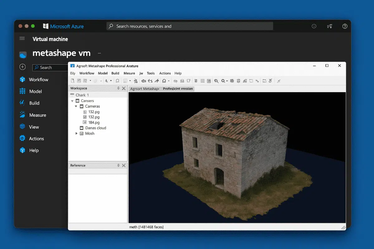
Agisoft Metashape is one of the most advanced photogrammetry software platforms used for creating high-precision 3D models, orthophotos, and digital twins from photographs. While it runs smoothly on local workstations, large-scale projects — such as drone mapping, cultural heritage digitization, or industrial inspections — can quickly push the limits of local hardware. This is where […]
Agisoft Metashape is one of the most powerful and widely used photogrammetry software solutions in the world, enabling users to transform ordinary photos into high-quality 3D models, orthophotos, and digital elevation models. Whether you work in surveying, cultural heritage documentation, architecture, mining, or filmmaking, Metashape is a crucial tool in your 3D reconstruction workflow. If […]
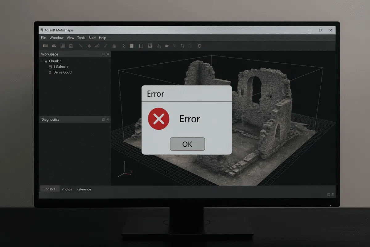
Agisoft Metashape is one of the most powerful photogrammetry software solutions available today, widely used for 3D modeling, surveying, mapping, and cultural heritage documentation. However, like any complex software, it can occasionally crash, especially when working with heavy datasets or demanding hardware configurations. If you are wondering what to do if Agisoft Metashape crashes, this […]
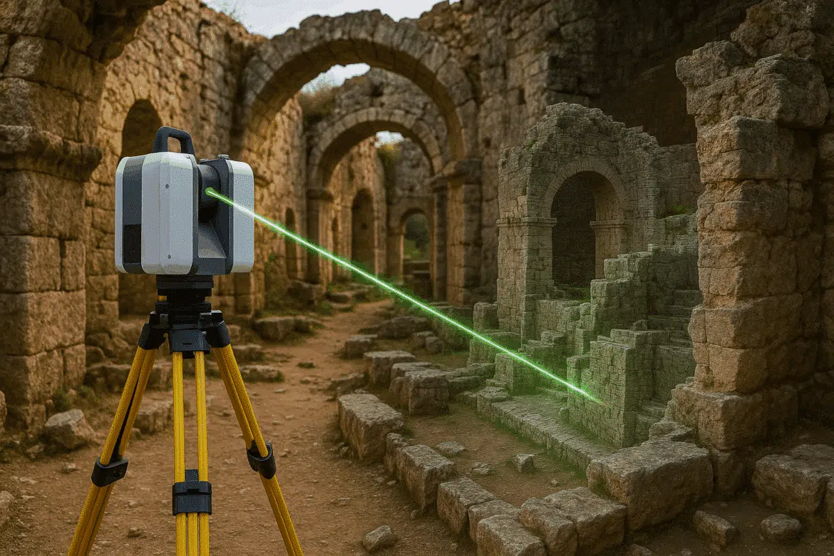
The release of Agisoft Metashape 2.2 has brought significant improvements in handling terrestrial laser scans (TLS). These datasets, captured by ground-based LiDAR systems, are crucial for industries such as construction, cultural heritage preservation, mining, and engineering. This article provides a comprehensive overview of how to import, process, and refine TLS data in Metashape 2.2, making […]
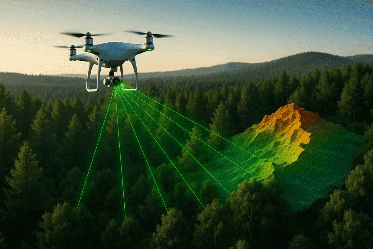
The integration of aerial laser scans with advanced photogrammetry software has transformed the way we capture and analyze our world. Among the leading tools for this purpose, Agisoft Metashape stands out for its ability to process both aerial imagery and LiDAR data efficiently. This article explores how to manage aerial laser scan datasets within Metashape, […]
If you are exploring the world of photogrammetry, 3D modeling, or drone mapping, one of the most valuable resources you can rely on is the manuale Agisoft Metashape. This comprehensive document, published directly by Agisoft, provides all the instructions, workflows, and technical explanations needed to use the software effectively. In this article, we will introduce […]
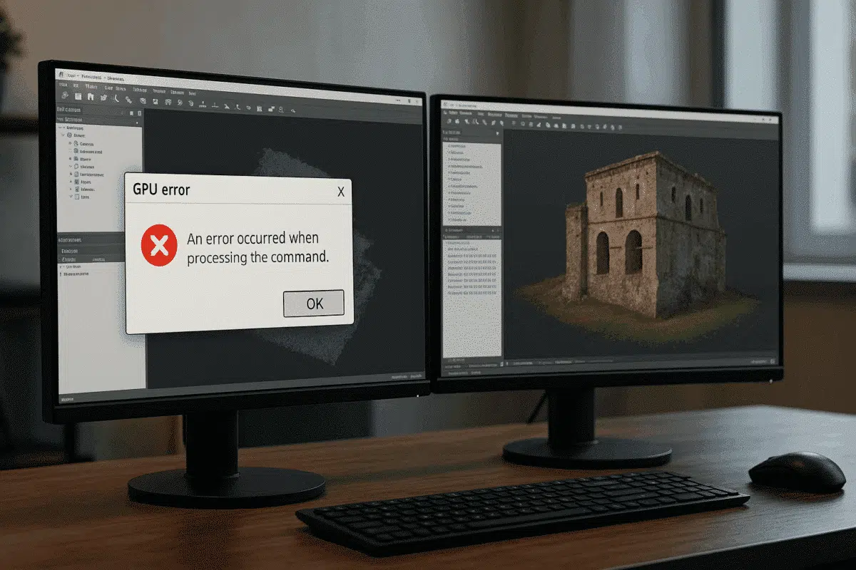
Agisoft Metashape is widely regarded as one of the most efficient tools for photogrammetry and 3D reconstruction. By leveraging GPU acceleration, the software can handle demanding tasks such as dense cloud generation, mesh building, and texture mapping much faster than using CPU alone. However, some users encounter frustrating GPU error messages in Agisoft Metashape, which […]
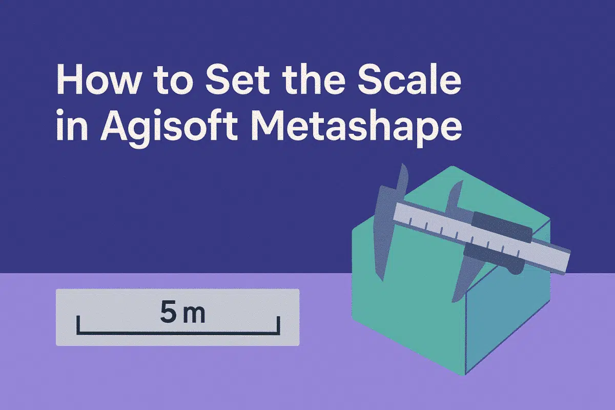
Agisoft Metashape is one of the most popular photogrammetry software solutions, used in surveying, archaeology, construction, mining, and many other fields. While the software can generate highly detailed 3D models from images, the results are often in arbitrary units unless you set the scale. Without scaling, measurements of distances, areas, and volumes won’t correspond to […]
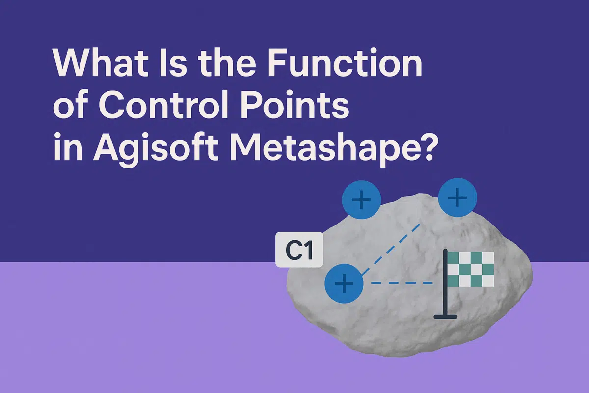
Agisoft Metashape is a powerful photogrammetry software that transforms images into accurate 3D models, orthophotos, and digital elevation models. One of the key elements that ensures accuracy in these outputs is the use of control points. But what exactly are control points, and what is their function in Metashape? In this guide, we explain the […]