Agisoft Metashape is widely known for its photogrammetry capabilities using RGB drone imagery—but its power extends much further. With the right sensors and processing techniques, Metashape can handle thermal, multispectral, and even LiDAR data. These advanced workflows unlock new applications in precision agriculture, infrastructure monitoring, scientific research, and environmental modeling.
1. Processing Thermal Imagery in Metashape
Thermal imagery provides valuable insights into temperature variations across a surface. When captured properly, it can be processed in Metashape just like standard images—though with some specific considerations.
Best practices:
- Use thermal cameras with radiometric capabilities (e.g., DJI M3T, FLIR Vue Pro R).
- Ensure consistent overlap (70–80%) and stable flight conditions.
- Disable automatic image contrast/stretching to preserve raw pixel values.
Workflow: Align the images as usual, then build a sparse point cloud. The resulting 3D mesh or orthomosaic can reflect thermal intensity using grayscale or pseudocolor textures. Export in TIFF for GIS platforms or analysis in QGIS/ArcGIS.
2. Working with Multispectral Imagery
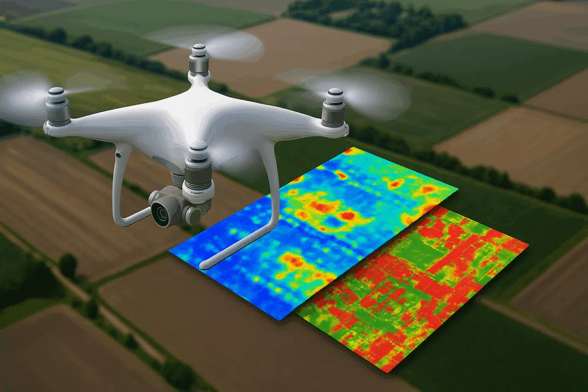
Multispectral images capture data from specific wavelength bands beyond visible light—such as near-infrared or red-edge—used heavily in agriculture, vegetation analysis, and environmental monitoring.
Compatible sensors include: MicaSense RedEdge, Parrot Sequoia, DJI Mavic 3M, Sentera 6X.
Workflow:
- Import each spectral band as a separate camera group.
- Use the Multispectral Calibration tool with reflectance panels and sunshine sensors.
- Align images and build an orthomosaic using “band stacking” to combine NIR, red, green, and blue.
After export, you can calculate vegetation indices such as NDVI, NDRE, SAVI, or custom formulas using GIS software. Metashape doesn’t calculate indices directly, but delivers the necessary georeferenced output.
3. Integrating LiDAR Data into Metashape Projects
While Metashape itself does not perform LiDAR point cloud generation, it supports importing external LAS/LAZ files and combining them with photogrammetric data for hybrid models or comparison.
Example use cases:
- Comparing LiDAR point clouds with photogrammetric dense clouds for quality control.
- Overlaying textures from RGB cameras onto LiDAR-derived geometry.
- Generating DEMs with LiDAR ground returns and visualizing them alongside photogrammetric orthophotos.
How to do it: Import your LiDAR dataset (LAS/LAZ) via File → Import → Point Cloud, then use the “Merge Chunks” function to combine it with your photogrammetry model or use the LiDAR data as reference geometry.
4. Ground Control Points and Sensor Calibration
For accurate multispectral or thermal models, using Ground Control Points (GCPs) and performing camera calibration is highly recommended.
- Place high-contrast GCP markers visible in thermal and multispectral bands.
- Use camera calibration files from the sensor provider when available.
- Enable “Optimize Cameras” after alignment for better accuracy.
Well-calibrated and georeferenced datasets ensure compatibility with GIS platforms and increase measurement accuracy.
5. Exporting Outputs for Analysis
Metashape can export the following outputs from thermal or multispectral projects:
- Orthomosaics (TIFF) with thermal or reflectance values.
- Dense point clouds (XYZ/LAS) from visible or near-infrared bands.
- DEM and DSM layers usable in GIS software.
- Textured 3D models in OBJ/FBX/PLY with spectral textures.
These files can be imported into QGIS, ArcGIS, ENVI, or custom agricultural software platforms for advanced post-processing.
Final Thoughts
Agisoft Metashape is more than just a photogrammetry tool for RGB images. With support for thermal, multispectral, and LiDAR data integration, it becomes a powerful platform for professionals in agriculture, environmental science, and industrial inspection. Unlocking these capabilities allows you to generate richer, more meaningful geospatial data from your drone missions.
Whether you’re mapping crop health or inspecting solar panels, these advanced features in Metashape can take your drone workflows to the next level.