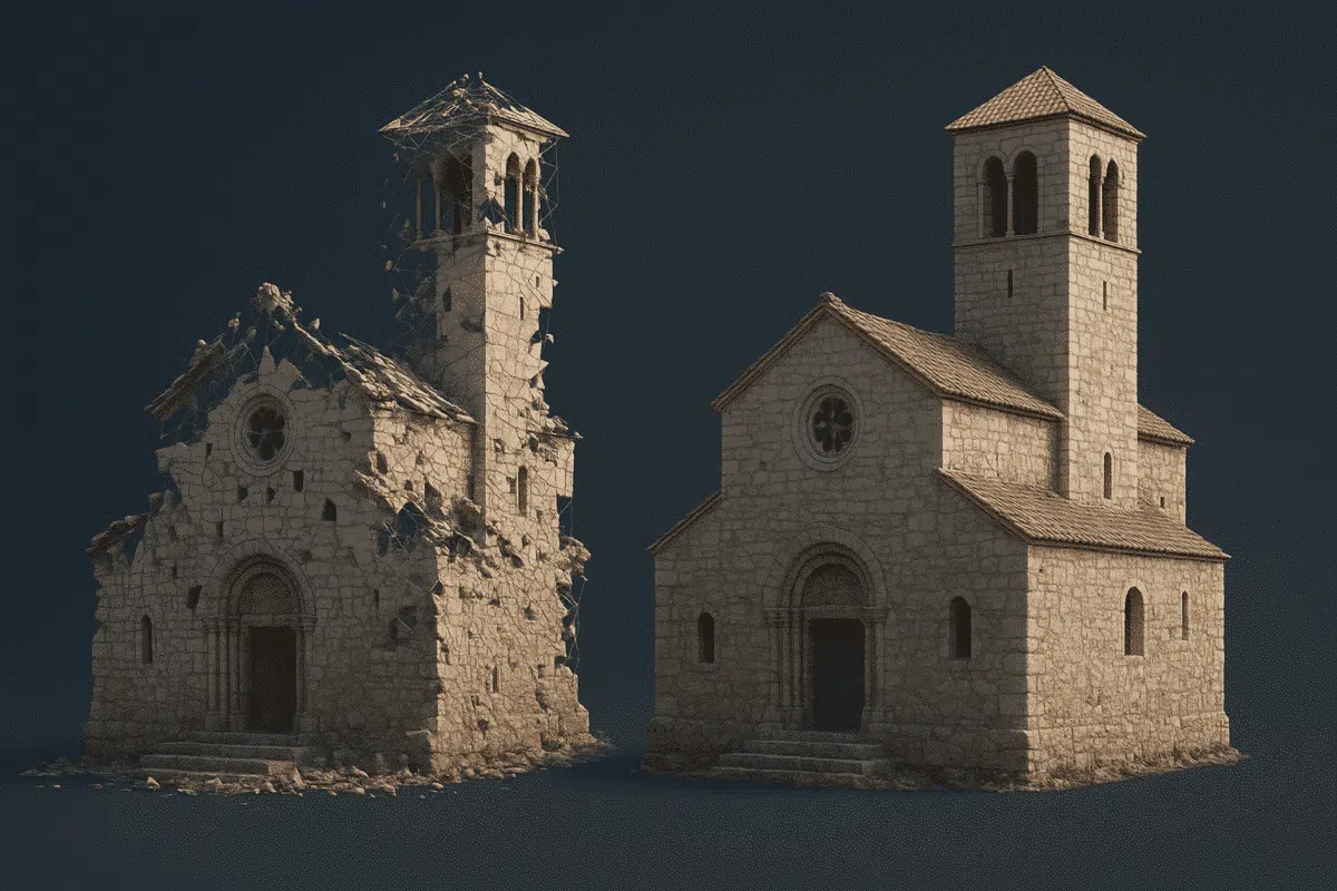
Agisoft Metashape is a powerful tool for creating accurate 3D models and maps from aerial images. But even experienced users make small mistakes that can lead to poor results, long processing times, or unusable outputs. In this article, we reveal the 7 most common mistakes users make in Metashape—and how to avoid them for perfect 3D reconstruction every time.
1. Poor Image Overlap
Not having enough overlap between images is the number one cause of alignment failure. Metashape relies on matching features across multiple photos. Without sufficient coverage, the software struggles to connect the images properly.
How to avoid it: Use at least 75% frontal and 70% side overlap. For complex structures or vertical surfaces, consider 80–85% in both directions.
2. Inconsistent Lighting and Shadows
Changes in sunlight, moving clouds, or shadows across your subject can confuse the software during feature matching or texturing. These lighting changes may result in noisy point clouds or poor texture quality.
How to avoid it: Fly at noon or under fully overcast skies for even lighting. Avoid capturing on windy days or near sunset when shadows are long and moving rapidly.
3. Using Compressed or Low-Quality Images
Using images that are heavily compressed (e.g., JPG with low quality) or resized before processing leads to data loss. This affects point detection, alignment, and final output quality.
How to avoid it: Always use the original full-resolution images. If possible, shoot in RAW and convert to high-quality TIFF or maximum quality JPEG before processing.
4. Skipping Camera Calibration
Incorrect or missing camera parameters (like focal length, principal point, and distortion) can distort your 3D model. While Metashape estimates them during alignment, manual calibration improves results—especially for professional work.
How to avoid it: Use calibration files provided by your drone or camera manufacturer. Alternatively, calibrate the camera in Metashape by using a known pattern (like a chessboard grid) and entering the parameters manually.
5. Ignoring Ground Control Points (GCPs)
If you need georeferenced or survey-grade accuracy, skipping GCPs is a major mistake. GPS tags from drones are often only accurate to a few meters. GCPs allow Metashape to correct spatial errors and improve global alignment.
How to avoid it: Use at least 5–7 GCPs evenly distributed in the scene. Mark them clearly and import their coordinates into Metashape before optimization.
6. Misconfigured Depth Filtering
When building the dense point cloud, using incorrect depth filtering settings can lead to noise, loss of fine detail, or gaps in the model. The “Aggressive” option, for instance, removes too much detail in some scenes.
How to avoid it: Use “Moderate” filtering for most outdoor scans. For scenes with lots of small features (e.g. vegetation, rubble, or architecture), use “Mild” or “Disabled” and clean up noise manually later.
7. Exporting Without Checking Scale or Orientation
Many users export models or orthomosaics without confirming the correct scale, orientation, or coordinate system. This leads to errors when importing into GIS or CAD software.
How to avoid it: Before export, always double-check your coordinate system and use scale bars or GCPs to validate accuracy. Use tools like “Set Scale” or “Rotate Object” when needed.
Final Thoughts
Even powerful software like Agisoft Metashape depends on a good workflow. Avoiding these common mistakes will help you create cleaner, more accurate 3D models and save hours of frustration. Whether you’re scanning for fun or working on high-stakes projects, refining your approach makes all the difference.
Remember: high-quality input = high-quality output.


