Agisoft Metashape has become a trusted tool for environmental scientists and geospatial professionals working in monitoring ecosystems, assessing land deformation, and detecting changes in terrain over time. Thanks to its high-precision photogrammetric engine, Metashape allows for the generation of accurate 3D models, orthophotos, and elevation data that can be compared across time to reveal subtle environmental shifts.
Why Use Metashape for Environmental Monitoring?
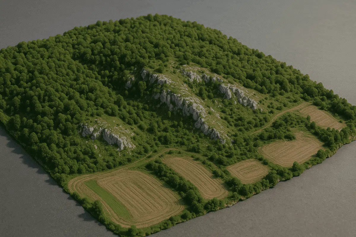
From landslides and coastal erosion to glacial retreat and vegetation health, environmental monitoring requires repeatable and precise data. Metashape supports drone- and satellite-derived imagery, which can be processed into georeferenced outputs ideal for measuring change across months or years. Its offline processing and customizable export formats make it suitable for integration with GIS platforms like QGIS or ArcGIS.
Applications in Environmental Science
- Land deformation after earthquakes or mining activities
- Coastal erosion tracking using time-series orthophotos
- Glacier movement and melting rate analysis
- Forest and vegetation health monitoring with RGB/multispectral data
- Flood zone mapping and hydrological modeling
Capturing the Right Imagery
To ensure accurate analysis, data must be captured using consistent methodology across time. Use drones like the Mavic 3 Enterprise, Phantom 4 RTK, or Matrice 350 RTK with RTK/PPK geotagging for repeatable accuracy. Always follow best practices:
- Maintain fixed altitude and flight overlap (80/70%)
- Use manual camera settings to avoid exposure variation
- Capture during consistent lighting conditions (midday)
- Repeat surveys along same flight paths using mission software
Processing the Data in Metashape
Once you have your image set:
- Create a new project and import images
- Use High alignment accuracy with “Reference” preselection
- Align cameras and build dense cloud (medium or high quality)
- Generate a Digital Elevation Model (DEM) and orthomosaic
- Repeat the process for each time interval
Time-Series Analysis Workflow
Metashape does not natively support change detection, but outputs can be imported into GIS or remote sensing tools for time-series analysis:
- Export elevation data (GeoTIFFs) or point clouds (LAS/XYZ)
- Load datasets in QGIS and use raster subtraction to detect change
- Use CloudCompare to compare point clouds and generate distance maps
- Overlay orthophotos to visually track land use changes
Tips for Accuracy
- Use GCPs or RTK geotags for high-precision registration
- Calibrate the camera to reduce lens distortion
- Avoid vegetation movement (wind) and shadow variability
- Process all datasets with identical settings for comparability
Integrating with Environmental Tools
After processing in Metashape, data can be exported and analyzed using platforms like:
- QGIS / ArcGIS: DEM analysis, contour generation, land classification
- CloudCompare: Mesh and point cloud comparison
- SNAP (ESA): Integration with satellite radar imagery
- Python: Automate monitoring workflows using Metashape’s API
Case Study: Monitoring a Landslide Zone
In Northern Italy, researchers used a DJI Phantom 4 RTK and Metashape to monitor a landslide-prone slope over 12 months. Data was captured monthly, and the team generated DEMs and orthomosaics for each session. By comparing the elevation differences, they were able to quantify land displacement of up to 38 cm—vital for local risk mitigation strategies.
Conclusion
Agisoft Metashape provides a powerful toolkit for environmental monitoring and terrain change detection. Whether you’re working on coastal studies, vegetation analysis, or geological shifts, its flexibility and compatibility with drone workflows make it ideal for professionals in 2025. Combined with GIS tools and consistent data capture, Metashape can reveal trends that are otherwise invisible to the human eye.