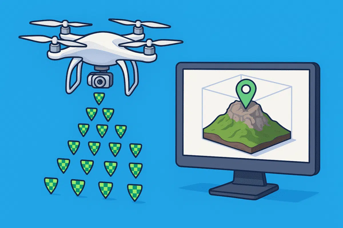
Agisoft Metashape is a powerful photogrammetry tool, and when combined with RTK (Real-Time Kinematic) or PPK (Post-Processed Kinematic) drones, it delivers centimeter-level accuracy in 3D models and orthomosaics. Whether you’re mapping for surveying, agriculture, or construction, integrating geotagged imagery properly is key. In this guide, you’ll learn how to import RTK/PPK photos into Metashape, fine-tune accuracy, and validate your results with or without Ground Control Points (GCPs).
1. Understanding RTK vs PPK in Drone Mapping
RTK drones correct GPS signals in real-time using a base station. PPK drones record raw GNSS logs and apply corrections after the flight. Both improve location accuracy from meters to centimeters compared to standard GPS geotagging.
- RTK: Real-time correction during flight
- PPK: Corrections applied after flight in software like Emlid Studio, Redtoolbox, or DJI Terra
The output in both cases is a set of images with precise coordinates stored in EXIF or CSV format.
2. Preparing RTK/PPK Data for Metashape
Before importing to Metashape, ensure your geotagged photos meet the following:
- Each photo has a precise latitude, longitude, and altitude (either in EXIF or external CSV)
- All coordinates are in the same projection (e.g., WGS84 or local UTM)
- If using a CSV, include columns like:
filename, latitude, longitude, altitude
You can also include orientation angles (yaw, pitch, roll) for better reconstruction in corridor mapping or vertical structures.
3. Importing Geotagged Photos into Metashape
Steps to import your dataset:
- Step 1: Go to Workflow → Add Photos
- Step 2: If using CSV, then Tools → Import Reference
- Step 3: Check the coordinate system under Reference → Settings
Metashape will automatically assign coordinates to each camera position. You should now see aligned markers in the Reference pane.
4. Setting Accuracy Values Correctly
RTK/PPK positioning is more accurate than standard GPS, so you should update the accuracy values in the Reference pane:
- Camera accuracy (horizontal): 0.02 m
- Camera accuracy (vertical): 0.05 m
These values tell Metashape how much to trust the coordinates during optimization and bundle adjustment. Too loose, and results are blurry; too tight, and the model may distort.
5. Optional: Using GCPs with RTK/PPK
Even with RTK/PPK, Ground Control Points (GCPs) help validate and constrain your model. Use them if the project requires survey-grade accuracy.
- Import GCPs as markers via Tools → Import Markers
- Enter XYZ values and select proper projection
- Manually pin markers in 3+ images each
- Set marker accuracy (e.g., 0.01 m)
GCPs can also be set as Check Points to independently validate your model’s accuracy.
6. Optimize Cameras for Best Results
Once photos are aligned and reference data is loaded, use Tools → Optimize Cameras to refine camera positions based on RTK/PPK accuracy and GCPs.
In the optimization dialog, enable parameters like focal length, principal point, k1–k4 radial distortion, etc., for better calibration.
7. Verifying Model Accuracy
After optimization and dense cloud/model generation, go to Reference → Errors tab:
- Check RMS error for camera locations (should be under 5 cm)
- Check GCP and Check Point residuals
Use the Export Report function to generate a PDF with camera map, GCP table, and error statistics—ideal for survey deliverables.
8. Exporting Your Model
- Orthomosaic: Export as GeoTIFF in UTM or local CRS
- Point cloud: Export as LAS/LAZ with coordinate system embedded
- 3D model: Export as OBJ, FBX, or glTF
Ensure coordinate system and vertical datum match your local survey standards if required.
Conclusion
RTK and PPK drones, when combined with Agisoft Metashape, enable highly accurate 3D reconstructions without needing dozens of GCPs. However, proper import, alignment, accuracy tuning, and verification steps are crucial. By following the workflow in this guide, you’ll unlock the full power of geotagged imagery and deliver survey-grade outputs with ease.
As RTK/PPK drone mapping becomes standard in 2025, mastering this workflow ensures precision, speed, and reliability in every photogrammetry project.