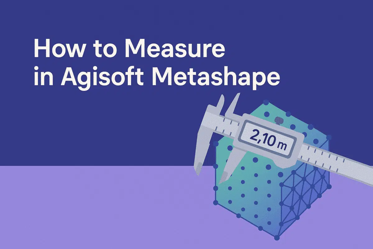
Agisoft Metashape is one of the most advanced photogrammetry tools available today, widely used for surveying, mapping, archaeology, mining, and construction. Beyond generating 3D models, orthophotos, and DEMs, Metashape provides powerful tools for measuring distances, areas, and volumes. Understanding how to measure correctly in Metashape is crucial for anyone working with spatial data. In this article, we’ll walk through the different measurement options, explain when to use each one, and provide best practices for accuracy.
Why Measurements in Metashape Matter
Accurate measurements are fundamental in photogrammetry. Whether you are creating maps, monitoring construction sites, documenting heritage sites, or analyzing landscapes, measurements derived from your model can provide real-world insights. By using Agisoft Metashape’s built-in tools, you can:
- Calculate distances between points in a 3D model or orthophoto.
- Measure areas of surfaces such as fields, building footprints, or excavation zones.
- Estimate volumes of stockpiles, terrain changes, or excavation pits.
- Generate accurate scale references using Ground Control Points (GCPs).
The ability to extract such metrics directly from processed imagery saves time and reduces the need for additional on-site measurements.
How to Measure Distances in Metashape
One of the most basic yet important measurements in Metashape is distance. To measure between two points, follow these steps:
- Open your processed project with aligned photos and a dense cloud or model.
- Select the Ruler Tool from the toolbar (represented by a ruler icon).
- Click on the first point in the 3D view or orthophoto.
- Click on the second point where you want to measure.
- The distance will appear in the Measurements panel.
Distances are calculated in real-world units (e.g., meters) if your project has been georeferenced. If not, the measurement will be relative and require scaling with markers or GCPs.
How to Measure Areas in Metashape
Area measurement is widely used in agriculture, archaeology, and construction. For example, you may want to calculate the area of a crop field or the footprint of a building. To measure areas in Metashape:
- Go to the Model or Ortho view.
- Select the Draw Polygon tool.
- Mark points around the boundary of the area of interest.
- Once the polygon is complete, right-click and choose Measure Area.
- The area value will appear in the Measurements panel.
Like distances, accurate area measurements depend on project scaling and georeferencing. The more precise your reference points, the more reliable your results will be.
How to Measure Volumes in Metashape
Volume measurement is one of the most powerful features of Agisoft Metashape, especially for mining, quarrying, and construction monitoring. To measure a volume:
- Generate a DEM or dense point cloud of your project area.
- Select the Draw Polygon tool and outline the base of the stockpile, excavation area, or terrain feature.
- Use the Measure Volume option from the context menu.
- Metashape calculates the volume relative to a reference plane, typically the lowest polygon point or a custom-defined elevation.
This workflow allows precise estimation of material volumes, which is critical for cost calculations, logistics planning, and environmental monitoring.
Scaling and Georeferencing for Accurate Measurements
Accurate measurements require proper scaling and georeferencing. Without real-world references, your measurements will be in arbitrary units. To ensure accuracy:
- Use Ground Control Points (GCPs) measured with GNSS or total station equipment.
- Add scale bars by placing markers at known distances within the project.
- Check coordinate system settings to confirm they match your GCP data.
By combining scaling, markers, and GCPs, you ensure that measurements in Metashape correspond precisely to real-world dimensions.
Exporting Measurement Results
Measurements made in Metashape are not limited to on-screen analysis. You can export measurements for further processing or reporting. Common export formats include:
- CSV files – Store coordinates, distances, areas, and volumes in tabular format.
- Shapefiles – Integrate polygons and measurement data into GIS software.
- Reports – Generate visual documentation for clients, including annotated screenshots and measurement summaries.
Exporting ensures your work can be easily integrated into broader project workflows, from engineering to environmental management.
Best Practices for Measuring in Metashape
To ensure high accuracy and reliable results, follow these best practices when measuring in Metashape:
- Always align images carefully – Poor alignment reduces accuracy in all measurements.
- Use high-quality images – Clear, well-lit images with sufficient overlap improve measurement precision.
- Distribute GCPs evenly across the project area to avoid distortions.
- Validate measurements by comparing with ground-truth data when available.
- Refine polygons by zooming in for precise boundary placement.
These steps will help maximize accuracy and reliability, especially in professional or scientific applications.
Common Mistakes to Avoid
Beginners often face challenges when measuring in Metashape. Some common mistakes include:
- Not scaling the project – Without GCPs or scale bars, measurements are meaningless.
- Using low-resolution data – Blurry or low-overlap images reduce accuracy.
- Misplacing markers – Incorrect marker placement leads to skewed results.
- Forgetting coordinate system alignment – Always confirm that the project CRS matches your GCP data.
Avoiding these errors will save time and prevent inaccurate results that could affect project decisions.
Conclusion: Measuring with Confidence in Metashape
Measuring in Agisoft Metashape is a powerful capability that transforms images into actionable data. From distances and areas to volumes, the software provides a comprehensive toolkit for professionals in surveying, construction, mining, archaeology, and more. The key to success lies in careful georeferencing, proper scaling, and best practices for project accuracy.
Ready to take your Metashape projects further? Start practicing with distance, area, and volume tools today and integrate them into your workflow for more precise and reliable results.