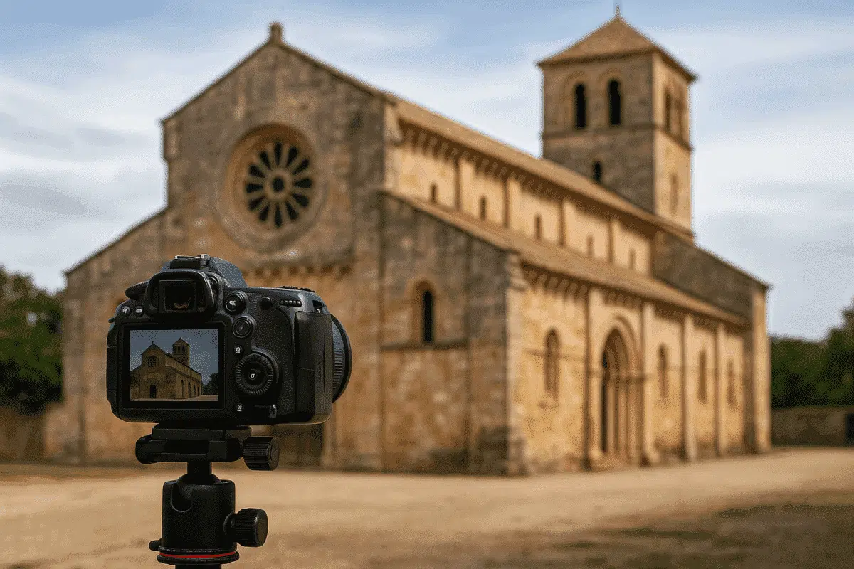
Agisoft Metashape is a powerful photogrammetry tool that has become essential for the preservation and documentation of historical buildings. Whether you are working in archaeology, architecture, or cultural heritage, Metashape offers a complete pipeline to turn site photography into high-quality, measurable 3D models and visual records. This guide walks you through the full workflow—from field capture to digital archive.
Why Use Photogrammetry for Historical Documentation?
Unlike laser scanning, which requires expensive hardware, photogrammetry relies on standard cameras and drones. This makes it more accessible for smaller institutions, researchers, and even citizen scientists. With careful planning, Metashape can generate millimeter-accurate digital replicas of facades, frescoes, interiors, and entire architectural sites.
1. Planning the Survey: Equipment and Settings
Start by choosing the right camera gear. Use a DSLR or mirrorless camera with a fixed focal length lens. Avoid auto settings—use manual exposure, fixed ISO, and manual focus to ensure consistency across images. For large sites, you can also incorporate drone photography for roofs and elevated views.
- Recommended overlap: 80% forward, 60% side
- Image size: Minimum 12 MP, ideally 24+ MP
- Lens: 20–50 mm range, avoid distortion
2. Field Photography: Capturing with Purpose
Systematically photograph the building from multiple angles—horizontal, angled, and vertical shots. Ensure that each architectural element is covered from at least three different positions to maximize matching potential. Avoid harsh lighting and shadows if possible. Include ground control markers or scale bars where feasible for georeferencing.
Use a checklist to ensure:
- All facades and corners are covered
- Ornate features (windows, cornices, sculptures) are photographed from up close
- Camera height and tilt are varied to avoid parallax distortion
3. Importing and Aligning in Metashape
After organizing your images, import them into Metashape. Run Align Photos with “High” accuracy and disable adaptive camera model fitting for historical work. This ensures precise feature detection even with weathered or eroded surfaces.
Check the sparse point cloud to confirm alignment. Misaligned cameras or gaps in coverage may indicate missing perspectives or blurred photos. Add or remove images accordingly and re-align.
4. Georeferencing and Scale
If ground control points (GCPs) or markers were used, input their coordinates in the Reference pane and use them to scale and orient your model. For archival documentation, even relative scale is valuable—as long as it’s consistent and noted in metadata.
If no GCPs are available, use Metashape’s marker tools to manually set scale bars between known distances (e.g., between two windows or a known door width).
5. Dense Cloud and Mesh Generation
Generate a dense point cloud with “High” or “Medium” quality, depending on your hardware. Then build a mesh—either using depth maps for high detail, or based on the point cloud if resources are limited.
Tips:
- Enable mild filtering to reduce noise but retain surface textures
- Use the “arbitrary” surface type for complex geometry like statues or gothic arches
- Preview mesh shading to ensure fidelity before texturing
6. Texture Mapping and UV Optimization
Use the Build Texture function with “Mosaic” blending and “Generic” mapping mode. For heritage models, texture clarity is essential—choose at least 8k output or export multiple texture tiles for large structures. You can also create diffuse and ambient occlusion maps if preparing for 3D web or VR platforms.
7. Creating Orthophotos and Sections
Metashape lets you create precise orthophotos of facades, ceilings, or floor plans. Switch to Ortho view and define a plane manually (X, Y, or custom orientation). These 2D projections are ideal for printed records, CAD overlays, or GIS integration.
For documentation, export orthophotos at 300 DPI or higher in TIFF or PNG format, along with coordinate reference systems (CRS) if applicable.
8. Archiving and Sharing the Final Output
Preserve your digital heritage record in multiple formats:
- 3D Models: OBJ, FBX, or glTF (for web and VR)
- Orthophotos: GeoTIFF or high-res PNG
- Point Clouds: LAS or XYZ
- Reports: Export project log and processing reports as PDF
Upload to platforms like Sketchfab, Cesium, or institutional digital archives. Always include metadata about location, capture date, software version, and author details.
Conclusion
Agisoft Metashape is a cornerstone of modern heritage documentation. It empowers users to capture, process, and preserve architectural history in digital form with high accuracy and visual fidelity. Whether you’re recording a chapel, a castle, or an entire historical district, the right workflow can ensure that these cultural treasures are safeguarded for generations to come.