Agisoft Metashape is a leading photogrammetry software used by professionals in surveying, archaeology, construction, and many other industries. One of the most important steps in ensuring the accuracy of your 3D models is adding a scale bar. Scale bars allow you to define known distances within your project, making it possible to convert relative measurements into real-world units. In this guide, you’ll learn how to add a scale bar in Agisoft Metashape, why it is essential, and the best practices for achieving precise results.
What Is a Scale Bar in Metashape?
A scale bar in Metashape is a defined distance between two markers that acts as a reference for scaling the entire project. By setting one or more scale bars, the software can transform your model from arbitrary units into real-world measurements. Scale bars are often used when:
- Ground Control Points (GCPs) are not available.
- You need to validate distances in small or medium-sized projects.
- Objects or features of known size are present in the images.
For example, if you place two markers on opposite ends of a building wall and assign the correct distance, the model will be rescaled accordingly, ensuring that further measurements are accurate.
Why Scale Bars Are Important
Adding scale bars is crucial for many workflows. Without them, models are generated in arbitrary units and cannot be used for real-world analysis. Here are some reasons why scale bars matter:
- Accuracy – Ensures measurements of distances, areas, and volumes match real-world dimensions.
- Validation – Helps verify the precision of your project when GCPs are not available.
- Flexibility – Allows non-georeferenced projects to still provide reliable measurements.
- Efficiency – Easy to set up using simple objects like rulers, tape measures, or known architectural features.
For small-scale projects such as archaeological digs or indoor modeling, scale bars are often the most practical solution.
How to Add a Scale Bar in Metashape
Adding a scale bar in Metashape is straightforward. Here’s a step-by-step guide:
- Open your project – Ensure that your images are aligned and markers are placed on recognizable points.
- Add markers – Select two points in your project where you know the real-world distance (e.g., two corners of a wall). Right-click and choose Add Marker.
- – In the workspace, open the Reference tab where markers and scale bars are managed.
- Create a scale bar – Select the two markers, right-click, and choose Create Scale Bar. A new scale bar will appear in the list.
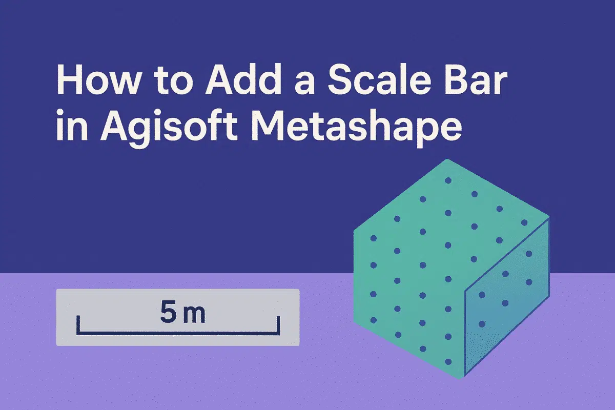
- Set the distance – Double-click the scale bar in the Reference pane and enter the real-world distance (e.g., 5.00 meters).
- Update alignment – After entering the distance, run Optimize Cameras to ensure the scale is applied throughout the project.
Congratulations! Your model now has a defined scale, and all measurements will be accurate according to the real-world distance you provided.
Best Practices for Adding Scale Bars
To achieve the best results, follow these best practices when adding scale bars:
- Use precise distances – Measure with a tape measure, total station, or laser rangefinder for maximum accuracy.
- Place markers on visible features – Corners, edges, and distinct textures make for reliable marker placement.
- Add multiple scale bars – Using several scale bars across different parts of the model improves overall accuracy.
- Distribute scale bars evenly – Avoid clustering them in one area; spread them across your project for balanced scaling.
- Check residual errors – After optimizing, review the Reference pane to ensure errors are within acceptable limits.
By following these guidelines, you can achieve more reliable results even without GCPs.
Scale Bars vs Ground Control Points
It’s important to understand the difference between scale bars and Ground Control Points (GCPs). While both improve accuracy, they serve different purposes:
- Scale bars – Define distances between two markers; useful for smaller, non-georeferenced projects.
- GCPs – Provide absolute positioning by linking model coordinates to real-world geographic coordinates.
In some projects, scale bars and GCPs are used together to validate accuracy and provide both scaling and georeferencing.
Common Mistakes to Avoid
While adding scale bars is simple, beginners often make mistakes that can reduce accuracy. Here are some common pitfalls:
- Using approximate distances – Always measure carefully; even small errors can distort your model.
- Placing markers incorrectly – Misaligned markers lead to inaccurate scaling.
- Relying on a single scale bar – One scale bar may not be enough; more references improve reliability.
- Forgetting to optimize – After adding scale bars, always run Optimize Cameras to apply the changes correctly.
Avoiding these mistakes ensures your model is trustworthy and suitable for professional applications.
Conclusion: Accurate Scaling with Scale Bars
Adding a scale bar in Agisoft Metashape is one of the easiest and most effective ways to ensure your photogrammetry projects are accurate and reliable. By defining known distances between markers, you can transform arbitrary 3D models into real-world measurements, suitable for surveying, construction, archaeology, and scientific research.
Final tip: Always use multiple scale bars and verify your results for maximum accuracy. Whether you are working on small indoor models or detailed archaeological digs, scale bars provide a simple but powerful solution for precise scaling.
Ready to improve your Metashape workflow? Start adding scale bars to your next project and unlock the full potential of photogrammetry for professional applications.