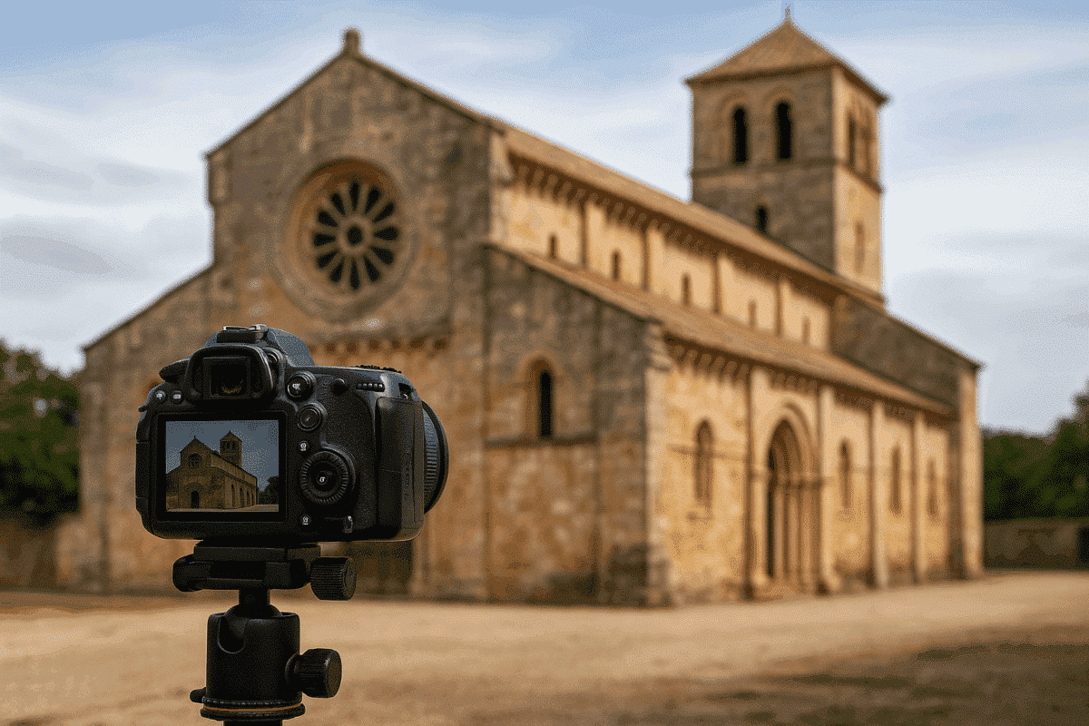
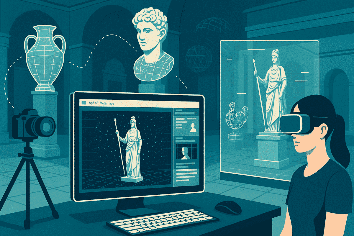
CULTURAL HERITAGE WITH AGISOFT METASHAPE

Agisoft Metashape for Cultural Heritage

Transform overlapping photographs into detailed 3D records of archaeological sites, historic buildings, artworks and museum objects—with workflows designed around subject safety, complete coverage, scale, traceability and long-term access.

Explore Heritage Workflow

Compare Editions

04
HERITAGE PRIORITIES

SUBJECT SAFETY

Handling limits and conservation constraints

CAPTURE EVIDENCE

Lighting, focus, overlap and coverage

SCALE & REFERENCE

Units, control and spatial context

ARCHIVE & ACCESS

Traceable masters and derived outputs
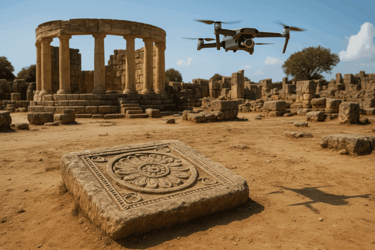
DOCUMENT. MEASURE. PRESERVE. SHARE.

Drone Emotions Srl combines official Agisoft Metashape licensing with practical guidance for museums, archaeologists, conservators, heritage architects, universities and research teams.

FROM PHOTOGRAPHS TO A TRACEABLE DIGITAL RECORD

Start with the documentation question—not with the software settings

A useful heritage model begins with a defined purpose: condition recording, metric analysis, research, conservation planning, collection management, public interpretation or digital preservation. That purpose determines the capture scale, required coverage, lighting strategy, reference method and final formats.

Agisoft Metashape can reconstruct geometry and texture from overlapping images, but the evidential value of the result depends on the complete acquisition and documentation process. Record what was photographed, how it was referenced, which areas were inaccessible and what transformations were applied after capture.

✓ Define the conservation, research or communication objective

✓ Agree handling, access and lighting constraints before capture

✓ Plan complete image coverage at the required detail

✓ Establish scale, orientation and spatial reference where needed

✓ Preserve source images, metadata and processing decisions

WHO THIS PAGE SUPPORTS

Heritage professionals and research teams

Archaeologists and field schools
Recording excavations, structures, stratigraphy, objects and changing site conditions.

Museums and collection teams
Digitizing artefacts for catalogues, research, replicas and virtual access.

Conservators and restorers
Creating repeatable visual and metric baselines before, during and after intervention.

Heritage architects and surveyors
Documenting façades, interiors, monuments and complex architectural details.

Universities and research institutions
Building reproducible datasets for teaching, analysis and interdisciplinary publication.

HERITAGE DOCUMENTATION OUTPUTS

Create each derivative for a defined use

A single image set can support several outputs, but a visual model, a metric record and a preservation master are not interchangeable. Define the purpose, resolution, scale and validation requirements for each deliverable.

01

Textured 3D models

Reconstruct geometry and photographic texture for research, inspection, interpretation, digital collections and controlled downstream use.

02

Orthographic records

Generate planar or cylindrical orthographic views of walls, façades, decorated surfaces and other features when the project requires controlled 2D documentation.

03

Metric documentation

Use scale bars, surveyed control, measurements and reference information when dimensions or repeatable spatial comparison form part of the required evidence.

04

Access and replicas

Prepare appropriately optimized derivatives for online viewers, teaching, interpretation, virtual exhibitions or physical reproduction while retaining the preservation master.

END-TO-END HERITAGE WORKFLOW

Six decisions connect acquisition to a reusable archive

The quality of a heritage dataset is established before processing begins and preserved through documentation. Treat access, capture, reconstruction, validation and archiving as one connected method.

01 — PURPOSE

Define the record

State the object, research question, expected users, required detail, dimensional needs, publication rights and preservation outputs before selecting equipment.

02 — CONSERVATION PLAN

Protect the subject

Agree access, handling, supports, lighting, targets and movement with the responsible conservator or site manager before introducing equipment around the object.

03 — ACQUISITION

Capture complete evidence

Use sharp, overlapping images with consistent exposure and suitable viewpoint changes. Record inaccessible, reflective, transparent or weakly textured areas as limitations.

04 — ALIGNMENT

Mask and inspect

Exclude irrelevant backgrounds when required, inspect camera coverage and tie-point continuity, and resolve disconnected or poorly supported regions before reconstruction.

05 — RECONSTRUCTION

Build and reference

Generate the required geometry and texture, apply verified scale or spatial control when needed, and avoid undocumented edits that could change the evidential record.

06 — PRESERVATION

Validate and archive

Check scale, completeness, geometry and texture; preserve original images and project information; then create separate derivatives for analysis, publication or public access.

CAPTURE STRATEGIES BY SUBJECT

One photogrammetric method does not fit every heritage subject

An archaeological landscape, a historic interior and a small museum object require different camera geometry, lighting, scale and access decisions.

01 — ARCHAEOLOGICAL SITES

Connect context and detail

Combine overview, oblique and close-range imagery so trenches, structures, surfaces and finds remain connected to their spatial context. Use verified scale or survey control when metric interpretation is required.

02 — HISTORIC BUILDINGS

Cover façades and interiors

Plan convergent and parallel views around corners, recesses, roofs, ornament and restricted areas. Use planar or cylindrical orthographic products only after confirming projection, scale and coverage.

03 — OBJECTS AND COLLECTIONS

Control light and background

Use diffuse stable lighting, a suitable lens, multiple camera elevations and a matte background. In turntable workflows, capture empty-background frames so masks can separate the object from the static scene.

QUALITY AND ARCHIVAL INTEGRITY

A detailed model is not automatically a defensible record

Visual realism can conceal missing surfaces, weak geometry, scale errors, color inconsistency or undocumented editing. A heritage project should separate the unmodified source record, the working reconstruction and the derivatives created for analysis or presentation.

Preserve image metadata, capture notes, reference measurements, processing settings, software version, export parameters and known limitations. Conservation, structural or legal decisions should be made by appropriately qualified professionals using evidence suitable for that purpose.

Open Readiness Checklist

RECORD QUALITY GATES

Evidence to preserve with the model

✓ Original image files and embedded metadata

✓ Subject ID, capture date and responsible operator

✓ Lighting, lens, focus and exposure method

✓ Scale bars, targets or surveyed reference data

✓ Coverage gaps and problematic surface materials

✓ Processing settings and software version

✓ Validation results, edits and export history

✓ Preservation master and access derivatives

CHOOSE THE EDITION FROM THE DELIVERABLE

Standard for core 3D creation; Professional for controlled documentation

Both editions support image-based reconstruction and textured 3D models. Choose Professional when the project needs scale bars, targets, measurements, georeferencing, orthomosaics, laser-scan integration, automation or other advanced spatial tools.

CORE 3D RECONSTRUCTION

Metashape Standard

A perpetual Node-Locked edition for image alignment, point-cloud generation, mesh reconstruction, photorealistic texturing and common 3D export workflows.

✓ Objects, artefacts and interiors

✓ Detailed models and textures

✓ Common 3D export formats

METRIC AND SPATIAL WORKFLOWS

Metashape Professional

The appropriate edition for scaled or georeferenced documentation, measurements, control targets, orthographic products, laser scans and advanced institutional workflows.

✓ Scale bars, markers and measurements

✓ Orthomosaics and spatial reference

✓ Laser scans and automation options

EDUCATION AND RESEARCH

Educational eligibility

Educational pricing is reserved for qualifying accredited institutions and eligible students or staff for non-commercial education and research. Museums and heritage organizations are not automatically eligible.

✓ Accreditation-based eligibility

✓ Non-commercial use restriction

✓ Standard and Professional options

Need to test a representative dataset first? Start a Standard trial or a Professional trial, then review the edition and licensing comparison.

PRACTICAL CULTURAL HERITAGE GUIDES

Move from general principles to a specific subject

Use these focused resources to examine archaeological, architectural, museum and hybrid laser-scan workflows in more detail.

Archaeological cultural heritage site reconstructed with Agisoft Metashape

ARCHAEOLOGY

Archaeology and cultural heritage use cases

Explore how image-based 3D reconstruction can support sites, structures, excavation records, artefacts, condition monitoring and public interpretation.

Historical building documentation workflow using Agisoft Metashape

BUILT HERITAGE

Historical buildings: field to archive

Plan photography for façades, roofs, interiors and details, then carry scale, processing information and export decisions into the project archive.

Museum object digitization and virtual exhibition created with Agisoft Metashape

MUSEUM COLLECTIONS

3D archives and virtual exhibitions

Connect capture planning and collection metadata with preservation masters, research derivatives and optimized models for online access.

Structured laser scans aligned with photographs for cultural heritage documentation in Agisoft Metashape

HYBRID DOCUMENTATION

Align structured laser scans and photographs

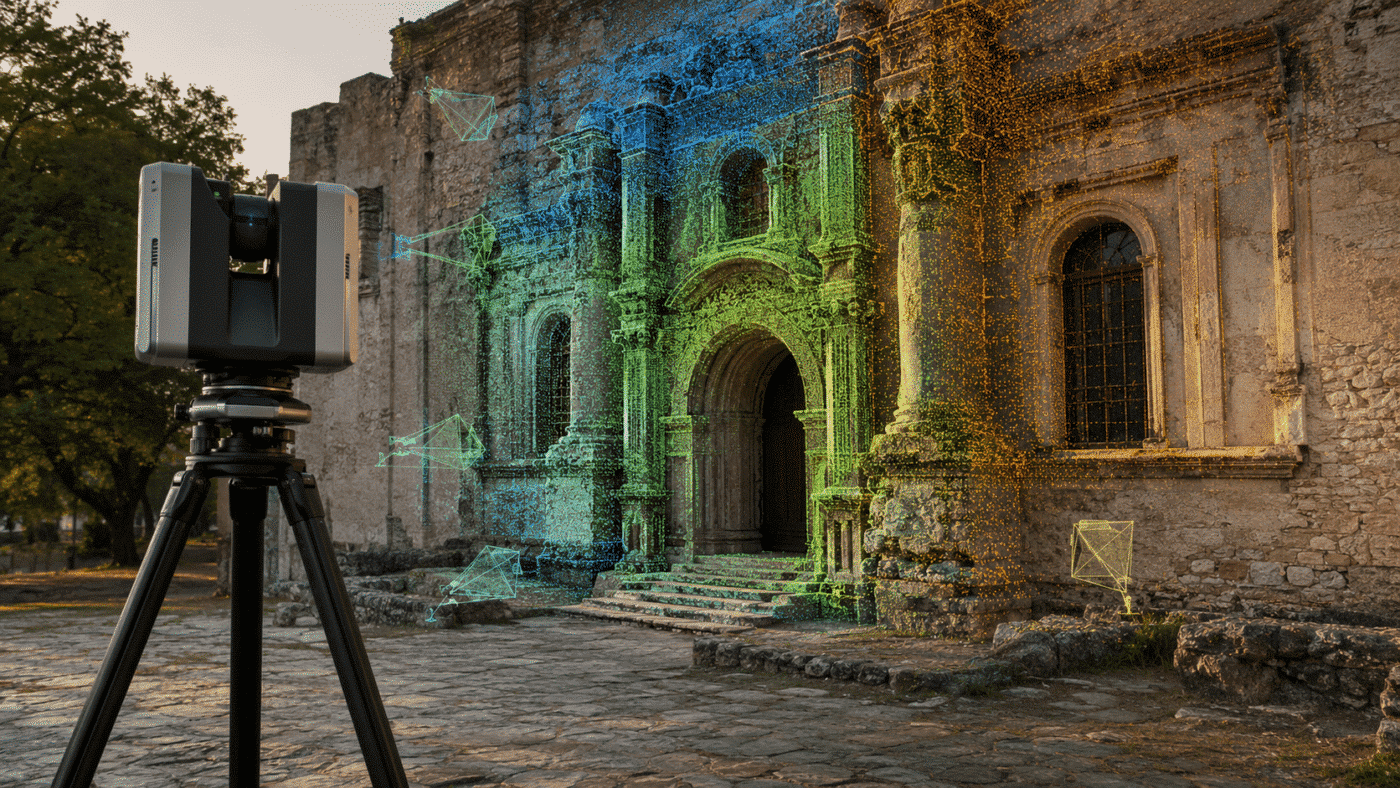
Use structured terrestrial scans as a geometric framework and photographs as a source of detailed visual information for models and orthographic products.

PUBLISHED EVIDENCE AND SCIENTIFIC CONTEXT

Connect project decisions to verifiable sources

Use published research, documented methods and transparent limitations to support a heritage workflow without treating any single case study as a universal accuracy guarantee.

2026 HERITAGE RESEARCH

Monitoring outdoor heritage sites

A peer-reviewed 2026 study from the University of Cumbria used aerial photography and photogrammetry to record physical conditions repeatedly and develop a cost-effective monitoring toolkit for outdoor heritage organizations.

SCIENTIFIC REFERENCES

Follow independent publications

Review publications that cite Agisoft Metashape or this website, then follow each original source to understand its dataset, method, scope and limitations.

For structured protocols, validation tools and technical methods, continue to the Applied Photogrammetry Research hub.

OFFICIAL AGISOFT RESOURCES

Continue with current close-range guidance

These external links open material published and maintained by Agisoft LLC. Confirm that instructions and interface references correspond to the Metashape version used for the project.

Close-range object scanning

Review Agisoft’s recommendations for camera movement, depth of field, lighting, reflections, surface texture, backgrounds, masking and macro capture.

Complete 360° object model

Follow the official single-chunk workflow for masks, alignment, model generation and texturing when the project requires coverage around the entire object.

Cultural heritage showcase

Explore archaeological and cultural heritage publications selected by Agisoft, then follow the original papers for project methods and documented outcomes.

FREQUENTLY ASKED QUESTIONS

Agisoft Metashape cultural heritage questions

Use these answers for initial planning, then confirm subject-specific conservation, research, survey and rights requirements with the responsible professionals.

Standard is suitable for core image-based 3D reconstruction, mesh generation, texturing and common model exports. Choose Professional when the project requires scale bars, coded or non-coded targets, measurements, georeferencing, planar or cylindrical orthomosaics, laser-scan support, scripting or network processing. Select the edition from the required evidence and outputs rather than from the subject category alone.

Yes. Close-range cultural heritage projects commonly use DSLR or mirrorless cameras, controlled lighting, tripods and turntables. Drones are relevant mainly when safe and authorized access is needed around roofs, monuments, excavations or larger sites. The camera path must provide sharp images, sufficient overlap and meaningful viewpoint change around the subject.

These surfaces are difficult because photogrammetry requires stable visible features across overlapping images. Use diffuse controlled lighting, avoid changing reflections and consider cross-polarization or a temporary surface treatment only when the object’s conservator explicitly approves the method. Never apply powders, sprays, markers or adhesives to a heritage object without authorization.

In Metashape Professional, verified distances can be assigned through scale bars between carefully placed markers. Larger sites may use surveyed control points or referenced camera positions. Use multiple independent distances or checkpoints where possible and document the measurement equipment, units, uncertainty and placement instead of relying on one unverified dimension.

The photographic measurement itself is image-based, but the complete setup may involve moving an object, adding supports, positioning scale bars, changing lighting or operating equipment nearby. Treat handling and access as conservation decisions. Agree the method with the collection manager, conservator or site authority before capture.

Metashape Professional supports laser-scan workflows and, in current 2.3.x versions, can align photographs with suitably structured terrestrial laser scans. An E57 extension alone does not guarantee the required structure: verify scanner stations, origins, registration, coordinate reference and retained depth information before planning a hybrid workflow.

They can support comparison when capture geometry, scale, reference, lighting, processing and validation are sufficiently repeatable. Differences between two surfaces or textures are not automatically proof of material change; they may also reflect coverage, alignment, reconstruction, illumination or export differences. Define detection thresholds and validation evidence before monitoring begins.

No. Educational pricing is linked to qualifying accredited educational institutions and eligible students or staff, with non-commercial-use restrictions. A museum, charity, heritage organization or independent research institute is not automatically eligible because it conducts education or research. If the organization is part of an accredited university, eligibility should be assessed through that institution.

LICENSING, TRAINING AND WORKFLOW GUIDANCE

Describe the heritage record before selecting the configuration

Tell us the subject size and material, image count and resolution, capture environment, required scale or reference, intended outputs, archive needs, hardware and number of users. We can help identify the appropriate edition, license model and next technical resource.

Request Project Guidance

Drone Emotions Srl
Agisoft Authorized Reseller & Training Center
[email protected]
800 984 535 · +39 347 433 3302