Drone inspection is revolutionizing infrastructure management, enabling fast, safe, and cost-effective surveys of complex assets such as bridges, buildings, powerlines, and roads. One of the most powerful tools in this workflow is Agisoft Metashape, a photogrammetry software that transforms drone imagery into precise 3D models. In this article, we’ll explore how Metashape can be effectively used for infrastructure inspection and modeling.
Why Use Metashape for Infrastructure Inspections?
Agisoft Metashape is ideal for infrastructure projects due to its high accuracy, offline processing capabilities, and detailed texture generation. It supports both RGB and thermal imagery, integrates with RTK/PPK drone data, and allows for GCP-based georeferencing—essential for engineering-grade models.
- Capture high-resolution 3D models of infrastructure for analysis and measurement
- Detect cracks, deformation, corrosion, or damage
- Monitor construction progress or structural changes over time
- Create digital twins for BIM integration or historical documentation
Best Drone Setup for Metashape Infrastructure Modeling
- Camera: High-resolution RGB camera (20 MP+), RTK/PPK preferred
- Flight Height: 10–30 meters depending on structure size
- Oblique Angles: Essential to capture vertical faces and under-bridge sections
- Overlap: 80% forward / 70% side for consistent point matching
Popular drones for this task include the DJI Mavic 3 Enterprise, Matrice 350 RTK, and Skydio X10 for autonomous close-range capture.
Capture Strategy for Infrastructure Assets
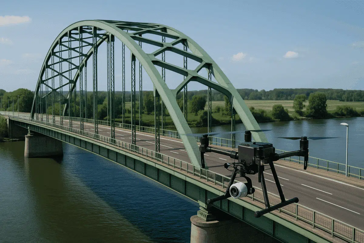
- Bridges: Fly under and around the structure to capture deck, pylons, and arches
- Buildings: Use orbit missions and multiple elevation sweeps
- Towers: Use vertical orbit patterns with consistent overlap and angle
- Roads: Nadir and oblique shots at intervals, especially around curves or intersections
Workflow in Metashape
Once you have collected imagery, Metashape can process the data using the following workflow:
- Align Photos: Use “High” accuracy with adaptive camera fitting enabled
- GCPs or RTK Data: Import and optimize camera positions for precise scaling
- Build Dense Cloud: Use “High” or “Medium” quality with moderate filtering
- Build Mesh: Based on depth maps for detailed surfaces
- Texture Generation: Mosaic blending with large texture sizes (8192×8192+)
Outputs for Inspection and Modeling
Metashape allows export of various formats suited for engineers, inspectors, and asset managers:
- Point Cloud: LAS, E57, XYZ for CAD and GIS platforms
- 3D Mesh: OBJ, FBX, GLB for Unity, Unreal, Cesium, or Sketchfab
- Orthophotos: GeoTIFFs for accurate measurement
- DEM/DSM: Useful for elevation analysis or drainage inspection
Case Example: Bridge Inspection
A municipal engineering firm used Metashape with a DJI M300 RTK to inspect a concrete bridge over a river. Oblique images captured from multiple angles enabled the detection of crack propagation, erosion near the abutments, and delamination of concrete pillars. The 3D mesh helped engineers compare new damage with previous inspections.
Tips for Better Results
- Use manual exposure to avoid brightness shifts during orbit flights
- Check focus before every flight to avoid blur in close-up shots
- Use GCPs if working without RTK, especially for long linear infrastructure
- Mask moving objects like traffic or pedestrians to reduce noise
- Use decimation or mesh simplification for web-based visualization
Limitations and Considerations
Metashape relies on visual features for alignment—so reflective surfaces, water, or uniform concrete may cause sparse point failures. In such cases, combining with LiDAR or using manual tie points can improve alignment. Also, keep in mind that highly repetitive structures (like grids or solar panels) may require extra images or oblique patterns to resolve accurately.
Conclusion
Agisoft Metashape is a powerful tool for drone-based inspection and infrastructure modeling. Its ability to produce accurate, high-resolution 3D models makes it ideal for engineering, maintenance, and construction workflows. With proper planning, imagery, and processing, Metashape can transform your inspection data into actionable digital twins and reports—reducing risks and improving asset management.