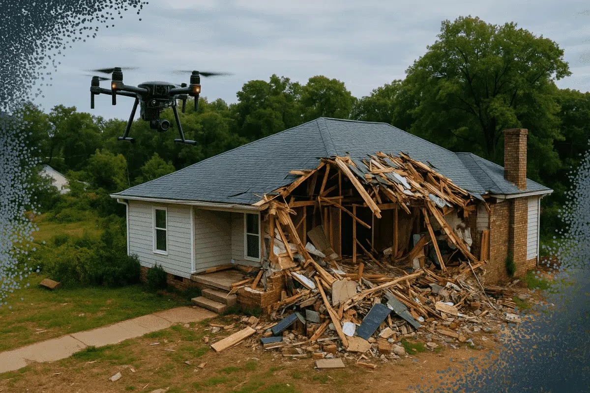
Photogrammetry is rapidly becoming a critical tool in the insurance industry for documenting damage and accelerating claims. Agisoft Metashape offers a precise, scalable way to generate 3D models and measurements from aerial and ground images, making it ideal for post-disaster assessment, accident reconstruction, and property claims. This article outlines a step-by-step workflow for using Metashape to improve speed, accuracy, and transparency in damage evaluations.
Why Use Photogrammetry for Insurance?
Traditional damage assessments can be slow, subjective, and prone to human error. With photogrammetry:
- Insurers can collect objective, high-resolution visual evidence
- Claims adjusters can perform remote evaluations
- Measurements are accurate to centimeter or sub-centimeter level
- 3D documentation allows better auditing and long-term records
Agisoft Metashape streamlines this process by transforming photos—taken from drones, smartphones, or DSLRs—into measurable, georeferenced 3D models and orthophotos.
Step 1: Data Capture After an Incident
Timely and systematic image collection is essential. Depending on the context:
- Drone surveys: Ideal for large-scale disasters like floods, hurricanes, or wildfires
- Ground-level shots: Use smartphones or cameras for interior or close-up details
- Oblique images: Provide 3D shape and structural context
Ensure adequate overlap between images (at least 70%) and consistent lighting. Capturing GCPs (Ground Control Points) or including scale bars can further improve georeferencing accuracy.
Step 2: Processing in Agisoft Metashape
Once images are collected, follow this workflow in Metashape:
- Photo Alignment: Automatically detects camera positions and generates a sparse point cloud
- Dense Cloud Generation: Builds a detailed point cloud from aligned images
- Mesh Construction: Converts the dense cloud into a textured 3D model
- Orthophoto and DSM: Generate georeferenced top-down views for precise area measurements
The results can be exported in formats compatible with GIS and CAD platforms (e.g., GeoTIFF, OBJ, DXF, LAS).
Step 3: Measurements and Reporting
With the processed model, insurance professionals can:
- Measure distances, surface areas, and volumes
- Mark points of interest (e.g., cracks, fire damage, flood lines)
- Compare pre- and post-incident models for accurate change detection
- Export annotated reports or 3D PDFs for client and legal documentation
This not only saves time during claims assessment but also creates legally defensible records.
Use Cases in Insurance and Risk Management
- Homeowner claims: Document roof, fire, water, or structural damage
- Natural disaster response: Rapidly assess hurricane or earthquake damage zones
- Vehicle accidents: Capture 3D reconstructions of crash scenes
- Industrial inspections: Evaluate pipeline leaks, warehouse fires, or storm damage to assets
Benefits of Using Metashape
- Accuracy: Sub-centimeter precision with calibrated cameras and proper GCPs
- Cost-effectiveness: No need for expensive LiDAR scanners or site revisits
- Speed: Drones and automation reduce field time significantly
- Documentation: Time-stamped, visual, and measurable data for every claim
Tips for Better Results
- Use a checklist for image overlap, coverage, and lighting
- Keep consistent camera angles and heights across captures
- Use GCPs or at least scale markers for accurate scaling
- Clean noisy data before exporting for analysis
Conclusion
Agisoft Metashape is a powerful tool that brings speed, accuracy, and transparency to the insurance and disaster response sectors. From 3D modeling of damaged homes to flood zone mapping, Metashape helps create detailed, shareable, and verifiable records that streamline the entire claims process. As the insurance industry evolves, photogrammetry is becoming a cornerstone of modern risk management—and Metashape leads the way.