In modern construction projects, real-time site updates and precise volume measurements are key for efficient decision-making. Agisoft Metashape offers a powerful photogrammetry solution to transform drone images into 3D models, orthophotos, and digital terrain models (DTMs). These outputs are crucial for construction monitoring, cut-fill analysis, and progress documentation.
Why Use Metashape for Construction Sites?
Construction managers, surveyors, and engineers increasingly rely on drones and photogrammetry to:
- Generate weekly or monthly site updates in 2D and 3D
- Track excavation, grading, and material stockpile volumes
- Compare current models with CAD or BIM plans
- Improve communication with stakeholders through visuals
- Reduce on-site time and increase safety
Drone Data Collection Tips for Accurate Models
Before processing in Metashape, it’s critical to capture the site properly:
- Flight altitude: 40–80 meters depending on the area size
- Camera overlap: Minimum 80% forward, 70% side
- Nadir + oblique images: Use both for better structure coverage
- RTK/PPK GPS: Use for sub-meter accuracy; otherwise, use GCPs
- Use manual camera settings: Lock ISO and shutter speed
Metashape Workflow for Construction Mapping
Once the images are captured, follow these steps in Agisoft Metashape:
- 1. Align Photos: Use “High” accuracy with disabled preselection
- 2. Import GCPs or RTK data: Calibrate and optimize camera positions
- 3. Build Dense Cloud: “High” or “Medium” quality; enable depth filtering
- 4. Generate Mesh or DSM: Use depth maps for terrain models
- 5. Create Orthomosaic: For 2D plan updates and documentation
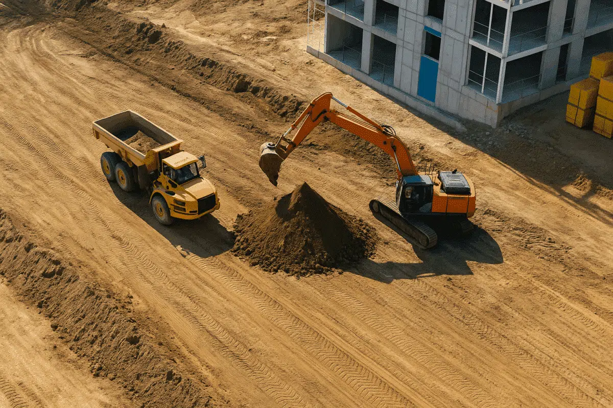
How to Calculate Volumes in Metashape
Metashape allows for fast and precise volume measurement using its built-in tools:
- Draw a polygon around the stockpile or excavation zone
- Set reference surface: Use “Best Fit Plane” or a custom DTM
- Calculate: Click “Measure” to get Cut, Fill, and Net volume in cubic meters
Export these results for integration into reports or comparison with project estimations. If needed, export the polygon and results as CSV, DXF, or shapefile formats for GIS platforms.
Progress Monitoring Over Time
Repeat the same workflow weekly or monthly and compare models:
- Use chunk duplication: Manage time-series inside one Metashape project
- Model alignment: Use markers or shared coordinate systems
- Model differencing: Export DEMs and compare in GIS or software like CloudCompare
This enables you to visualize how much ground has been moved, how stockpiles grow or shrink, and if work is progressing as planned.
Integrations and Export Options
- Export orthomosaics (GeoTIFF) for CAD overlays or reports
- Export point clouds (LAS, XYZ) for BIM or survey integration
- Export DEMs to Autodesk Civil 3D, QGIS, or ArcGIS
- Export 3D models (OBJ, FBX) for Sketchfab or Unity visualization
Benefits for Construction Managers
- Remote site access: View progress without visiting the site
- Quick documentation: For compliance and contract validation
- Data sharing: Upload to web viewers for stakeholders
- High ROI: Fast data capture with low recurring costs
Conclusion
Agisoft Metashape offers an effective workflow for construction monitoring, 3D modeling, and volume calculations. Combined with drones and proper data capture strategy, it becomes a reliable solution for digital site management. With each flight, you get measurable, visual evidence of progress—reducing risk and improving transparency across all project stages.