Agisoft Metashape is one of the most powerful photogrammetry tools on the market, trusted by professionals in surveying, archaeology, construction, agriculture, and more. This article explores what Metashape can do, who it’s for, and how to get the most out of it—whether you’re just starting out or already using drones and 3D models in your work.
What Is Agisoft Metashape?
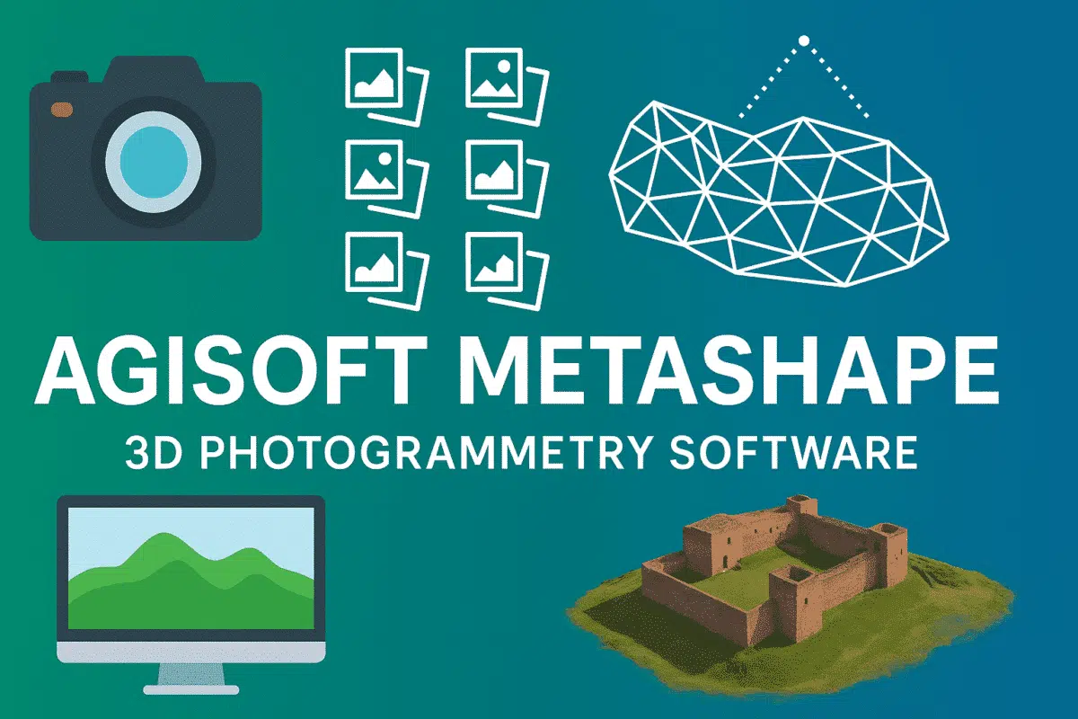
Agisoft Metashape is a standalone software that turns 2D images into highly accurate 3D spatial data. By using photogrammetry techniques, it reconstructs models, point clouds, textured meshes, and orthomosaics from aerial or ground-based photographs.
Core Features of Metashape
– Photogrammetric Processing: Supports aerial, oblique, and close-range imagery.
– Dense Point Cloud Generation: High-quality 3D point clouds with classification tools.
– Mesh and Texture Export: Create 3D textured models for BIM, gaming, or 3D printing.
– Georeferencing & Accuracy Reports: Compatible with GNSS/RTK data and GCPs.
– Orthophoto and DSM Creation: Generate geospatial data ready for GIS workflows.
– Python Scripting Support: Automate your processing with full API access.
Who Uses Agisoft Metashape?
Metashape is ideal for:
– Surveying Professionals: Generate topographic maps and land surveys.
– Archaeologists: Create 3D reconstructions of historical sites.
– Agricultural Consultants: Analyze crop health with NDVI orthomosaics.
– Construction and BIM: Monitor site progress and model infrastructure.
– Researchers and Scientists: Document complex environments in 3D.
Agisoft Metashape Standard vs Professional
Agisoft offers two versions of its software:
– Standard: Best for general 3D modeling and photogrammetry on a budget.
– Professional: Includes advanced geospatial tools like GCP support, multispectral processing, and more.
If you’re working with drones, GIS systems, or need high-precision outputs, the Professional edition is the right choice.
System Requirements
For best performance, Metashape requires a high-end workstation. We recommend (Visit this page):
– CPU: 8-core or higher (Intel i9 or AMD Ryzen 9)
– RAM: 64GB minimum, 128GB recommended
– GPU: NVIDIA RTX 3070 or better (16GB VRAM or more)
– Storage: SSD for fast processing; consider NVMe for large projects
Tips for Optimal Results
– Use consistent lighting and high-overlap photos (80% forward, 60% side).
– Calibrate your drone camera if possible.
– Use Ground Control Points (GCPs) for better georeferencing accuracy.
– Batch process multiple projects using the Python API.
Where to Buy Agisoft Metashape
You can purchase official Agisoft Metashape Standard and Professional licenses directly from our certified e-commerce store. Instant digital delivery and expert support included.
Conclusion
Whether you’re in surveying, research, construction, or drone mapping, Agisoft Metashape is a powerful and reliable tool for creating photorealistic 3D content. By learning how to use it effectively, you unlock a new level of precision in spatial data generation.