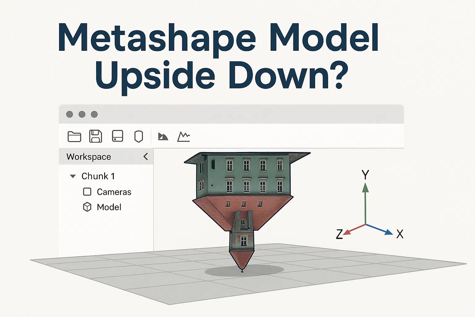
One of the most common frustrations among new users of Agisoft Metashape is discovering that their 3D model appears upside down after processing. Whether you’re generating a dense cloud, mesh, or textured model, this issue can throw off your entire workflow. Don’t worry—this is a solvable problem. In this article, we explain why it happens and how to properly orient your model using simple tools within Metashape.
Why Does My Model Appear Upside Down?
This issue is almost always related to incorrect camera alignment, coordinate system interpretation, or lack of proper Ground Control Points (GCPs). If your image set doesn’t provide spatial orientation clues—like vertical reference or geotags—Metashape will try to estimate it based purely on photo geometry.
Most Common Causes
- No EXIF orientation or GPS data in photos
- No Ground Control Points (GCPs) used
- Camera position inversion during alignment
- Incorrect coordinate system assignment
- Rotated bounding box (region box) not fixed before export
Step-by-Step: How to Fix an Upside-Down Model
1. Check the Bounding Box (Region)
The first thing to inspect is the orientation of the Region Box (also called Bounding Box). This defines the area of reconstruction and helps guide model orientation.
- Go to Model View.
- Click Show Region (in toolbar).
- Use the rotation tool to re-orient the box correctly—Z should point up.
- Right-click the box and select Reset Region if it’s completely misaligned.
2. Use the Rotate Tool
If the model is built but appears upside down in view, simply rotate it for visual reference. This doesn’t change the coordinates but helps for interpretation.
- Select the model in the Workspace.
- Use the Trackball or Rotate tool to manually adjust the view.
However, this is just a visual fix—not ideal for exporting correct models or orthomosaics.
3. Set the Correct Coordinate System
If your cameras or markers have geospatial data (like GPS or GCP coordinates), make sure you’ve assigned the correct Coordinate Reference System (CRS) in Metashape.
- Go to Reference pane.
- Click the settings (gear) icon.
- Select the correct coordinate system (WGS84, UTM, etc.).
If the wrong system is selected (or none at all), Metashape will try to interpret the model arbitrarily—often resulting in flipped axes.
4. Import GCPs or Scale Bars
If you didn’t use Ground Control Points during alignment, your model has no idea which direction is “up.” Adding GCPs and assigning proper Z-values can automatically fix orientation issues.
- Import GCPs as CSV or text file.
- Mark them in at least 2–3 images each.
- Update and optimize camera alignment.
5. Export With the Right Orientation
When exporting your model (OBJ, FBX, etc.), you can control axis orientation settings. Be sure to align axes appropriately:
- Z Up: Most GIS tools and 3D editors prefer this orientation.
- Y Up: Used in some 3D graphics applications.
Choose your format carefully and set axis alignment before exporting from the Export Model dialog.
Advanced Fix: Python Script to Reorient Model
For users working with automated workflows, you can use Python scripting to rotate the entire model or bounding box in code. Here’s a basic example:
import Metashape
chunk = Metashape.app.document.chunk
T = Metashape.Matrix().RotationZ(3.14159)  # 180° rotation
chunk.transform.matrix = T * chunk.transform.matrix
This rotates the model 180° around the Z-axis. You can adapt the script for other axes or angles as needed.
How to Avoid This Problem in Future Projects
- Use drones or cameras with reliable GPS EXIF tags.
- Add at least 3–4 GCPs per project for scale and orientation.
- Always check the bounding box before building dense cloud or mesh.
- Set the coordinate system at the start of the project.
Conclusion
Seeing your model upside down in Metashape can be disorienting, but the solution is usually straightforward. Whether you correct the bounding box, set the right coordinate system, or import GCPs, you can easily get your 3D model aligned correctly. With a few good practices, you’ll avoid this issue in the future and ensure your photogrammetry results are not just accurate—but upright too!
Need more help? Visit the Agisoft Knowledge Base or contact their support team for advanced troubleshooting.