With release 2.2.x, Agisoft Metashape raises the bar in professional photogrammetry by integrating aerial LiDAR processing, AI‑driven workflows, and enhanced orthomosaic quality. From seamless boresight calibration to intelligent background removal and geoid embedding, Metashape 2.2.x empowers you to deliver pinpoint‑accurate results faster and with greater flexibility.
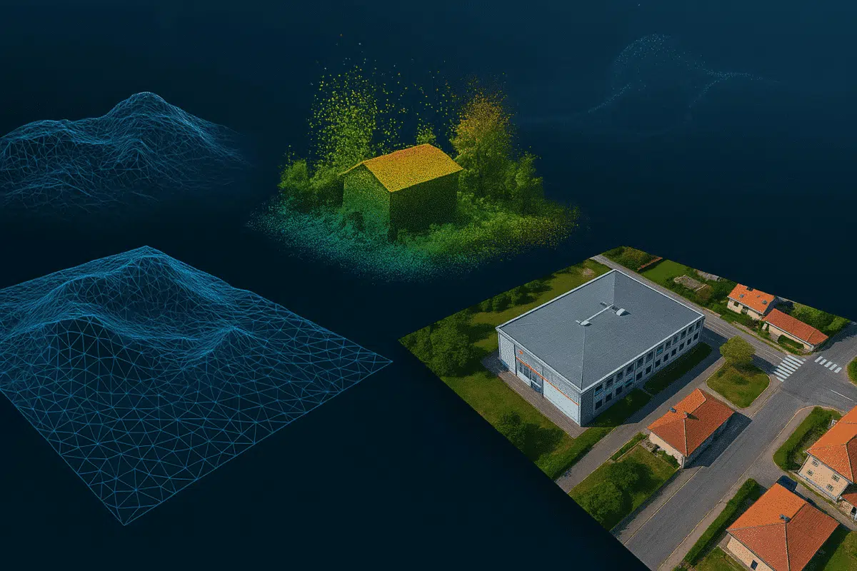
Aerial LiDAR & Point Cloud Enhancements
- Boresight Calibration: Achieve precise alignment of aerial LiDAR scans with the new boresight calibration tool, ensuring centimeter‑level accuracy across flight lines.
- Difference View & Accuracy Reporting: Instantly visualize point‑to‑point deviations with the Difference View, and quantify vertical errors using check point coordinates for robust quality control.
AI‑Powered Masking & Multiple Mask Layers
- Automatic Background Masking: Leverage deep learning models to generate clean masks for background removal in one click—no manual editing required (Internet connection needed on first use).
- Layered Mask Support: Store multiple mask sets in individual layers and activate them selectively during depth map generation, orthomosaic, or texture building for maximum control.
Enhanced Orthomosaic & Texture Workflows
- Pansharpening: Fuse high‑resolution RGB data with multispectral images to produce razor‑sharp orthomosaics that reveal every detail.
- Roof‑Edge Refinement: Apply the experimental roof‑edge algorithm to correct “wavy” or washed‑out areas along building edges for cleaner urban models.
- Build Texture from Orthomosaic: Use your generated orthomosaic as the texture source to streamline your workflow when original images are too heavy or inconsistent.
Geospatial & Reference System Improvements
- Geoid File Embedding: Save and embed geoid models directly into your project for seamless vertical datum consistency across platforms.
- Non‑Earth Basemap Support: Visualize Mars, Moon, or other planetary datasets with custom basemaps in non‑Earth reference systems—ideal for planetary science applications.
- GNSS/INS Offset Refinement: Adjust GNSS and INS offsets independently during camera alignment for maximum georeferencing precision.
Usability & Stability Updates
- Restart After Failure: Automatically resume processing tasks after unexpected shutdowns when “Save project after each step” is enabled.
- Batch Camera Alignment: Align unregistered images by geographic reference in batch mode to fill orthomosaic gaps over water or featureless terrain.
- Refined UI & Icons: Enjoy a streamlined interface with renamed “Clean Tie Points,” updated pane controls, and distinct markers for control vs. check points.